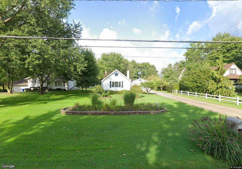
1674 Collar Price Rd Hubbard, OH 44425
Estimated Value: $120,367 - $158,000
1
Bed
1
Bath
1,040
Sq Ft
$129/Sq Ft
Est. Value
About This Home
This home is located at 1674 Collar Price Rd, Hubbard, OH 44425 and is currently estimated at $133,842, approximately $128 per square foot. 1674 Collar Price Rd is a home located in Trumbull County with nearby schools including Hubbard Elementary School, Hubbard Middle School, and Hubbard High School.
Ownership History
Date
Name
Owned For
Owner Type
Purchase Details
Closed on
Nov 24, 2023
Sold by
Pachner Robert J and Pachner Linda
Bought by
Pachner Robert J
Current Estimated Value
Home Financials for this Owner
Home Financials are based on the most recent Mortgage that was taken out on this home.
Original Mortgage
$69,350
Interest Rate
7.19%
Mortgage Type
New Conventional
Purchase Details
Closed on
Nov 4, 2023
Sold by
Smith Benjamin and Jones Shaina
Bought by
Pachner Robert J
Home Financials for this Owner
Home Financials are based on the most recent Mortgage that was taken out on this home.
Original Mortgage
$69,350
Interest Rate
7.19%
Mortgage Type
New Conventional
Purchase Details
Closed on
Jan 1, 1990
Bought by
Ramon M Friend
Create a Home Valuation Report for This Property
The Home Valuation Report is an in-depth analysis detailing your home's value as well as a comparison with similar homes in the area
Home Values in the Area
Average Home Value in this Area
Purchase History
| Date | Buyer | Sale Price | Title Company |
|---|---|---|---|
| Pachner Robert J | -- | None Listed On Document | |
| Pachner Robert J | $73,000 | None Listed On Document | |
| Ramon M Friend | -- | -- |
Source: Public Records
Mortgage History
| Date | Status | Borrower | Loan Amount |
|---|---|---|---|
| Previous Owner | Pachner Robert J | $69,350 |
Source: Public Records
Tax History Compared to Growth
Tax History
| Year | Tax Paid | Tax Assessment Tax Assessment Total Assessment is a certain percentage of the fair market value that is determined by local assessors to be the total taxable value of land and additions on the property. | Land | Improvement |
|---|---|---|---|---|
| 2024 | $1,899 | $32,730 | $6,510 | $26,220 |
| 2023 | $1,899 | $32,730 | $6,510 | $26,220 |
| 2022 | $1,060 | $25,420 | $5,990 | $19,430 |
| 2021 | $1,060 | $25,420 | $5,990 | $19,430 |
| 2020 | $1,068 | $25,420 | $5,990 | $19,430 |
| 2019 | $926 | $22,440 | $5,530 | $16,910 |
| 2018 | $898 | $22,440 | $5,530 | $16,910 |
| 2017 | $896 | $22,440 | $5,530 | $16,910 |
| 2016 | $767 | $21,040 | $5,530 | $15,510 |
| 2015 | $769 | $21,040 | $5,530 | $15,510 |
| 2014 | $754 | $21,040 | $5,530 | $15,510 |
| 2013 | $753 | $21,040 | $5,530 | $15,510 |
Source: Public Records
Map
Nearby Homes
- 7111 Pine Grove Dr
- 5910 Chestnut Ridge Rd
- 6855 Stewart Sharon Rd
- 5683 Chestnut Ridge Rd
- 1911 Hubbard Thomas Rd
- 1441 Warner Rd
- 1975 Warner Rd
- 1472 Warner Rd
- 5950 Mount Everett Rd
- 132 Drummond Ave
- 1354 Stevenson Rd
- 256 Warner Rd
- 2675 Seifert-Lewis Rd
- 1952 Hubbard Masury Rd
- 7737 Elm St
- 248 Myron St
- 764 Jones St
- 7370 Brookwood Dr
- 138 Moore St
- 7822 2nd St
- 1658 Collar Price Rd
- 1688 Collar Price Rd
- 1650 Collar Price Rd
- 1702 Collar Price Rd
- 1683 Collar Price Rd
- 1651 Collar Price Rd
- 1712 Collar Price Rd
- 1699 Collar Price Rd
- 1624 Collar Price Rd
- 1627 Collar Price Rd
- 1717 Collar Price Rd
- 1730 Collar Price Rd
- 1612 Collar Price Rd
- 1611 Collar Price Rd
- 1602 Collar Price Rd
- 1735 Collar Price Rd
- 1740 Collar Price Rd
- 1593 Collar Price Rd
- 1751 Collar Price Rd
- 1574 Collar Price Rd