16741 Gorsuch Mill Rd Upperco, MD 21155
Estimated Value: $1,053,000 - $3,347,616
--
Bed
7
Baths
5,896
Sq Ft
$373/Sq Ft
Est. Value
About This Home
This home is located at 16741 Gorsuch Mill Rd, Upperco, MD 21155 and is currently estimated at $2,200,308, approximately $373 per square foot. 16741 Gorsuch Mill Rd is a home located in Baltimore County with nearby schools including Fifth District Elementary School, Hereford Middle School, and Hereford High School.
Ownership History
Date
Name
Owned For
Owner Type
Purchase Details
Closed on
Nov 15, 2013
Sold by
Baker Patricia T
Bought by
Ptb Realty Llc
Current Estimated Value
Purchase Details
Closed on
Dec 12, 2012
Sold by
Baker Daniel R and Baker Patricia T
Bought by
Baker Patricia T
Purchase Details
Closed on
Dec 28, 2001
Sold by
Gorsuch Mill Llc
Bought by
Baker Patricia T and Baker Daniel R
Purchase Details
Closed on
Jun 8, 2000
Sold by
Ashe Albert Guy
Bought by
Gorsuch Mill Llc
Purchase Details
Closed on
Dec 15, 1995
Sold by
Ashe Albert Guy
Bought by
Ashe Albert Guy and Ashe Raymond Leroy
Create a Home Valuation Report for This Property
The Home Valuation Report is an in-depth analysis detailing your home's value as well as a comparison with similar homes in the area
Home Values in the Area
Average Home Value in this Area
Purchase History
| Date | Buyer | Sale Price | Title Company |
|---|---|---|---|
| Ptb Realty Llc | -- | None Available | |
| Baker Patricia T | -- | None Available | |
| Baker Patricia T | $1,508,000 | -- | |
| Gorsuch Mill Llc | $660,000 | -- | |
| Ashe Albert Guy | -- | -- |
Source: Public Records
Tax History Compared to Growth
Tax History
| Year | Tax Paid | Tax Assessment Tax Assessment Total Assessment is a certain percentage of the fair market value that is determined by local assessors to be the total taxable value of land and additions on the property. | Land | Improvement |
|---|---|---|---|---|
| 2025 | $24,438 | $2,114,100 | $166,000 | $1,948,100 |
| 2024 | $24,438 | $2,020,567 | $0 | $0 |
| 2023 | $11,678 | $1,927,033 | $0 | $0 |
| 2022 | $22,020 | $1,833,500 | $217,000 | $1,616,500 |
| 2021 | $20,549 | $1,762,000 | $0 | $0 |
| 2020 | $20,549 | $1,690,500 | $0 | $0 |
| 2019 | $19,682 | $1,619,000 | $217,000 | $1,402,000 |
| 2018 | $19,218 | $1,580,667 | $0 | $0 |
| 2017 | $18,140 | $1,542,333 | $0 | $0 |
| 2016 | $19,705 | $1,504,000 | $0 | $0 |
| 2015 | $19,705 | $1,504,100 | $0 | $0 |
| 2014 | $19,705 | $1,504,100 | $0 | $0 |
Source: Public Records
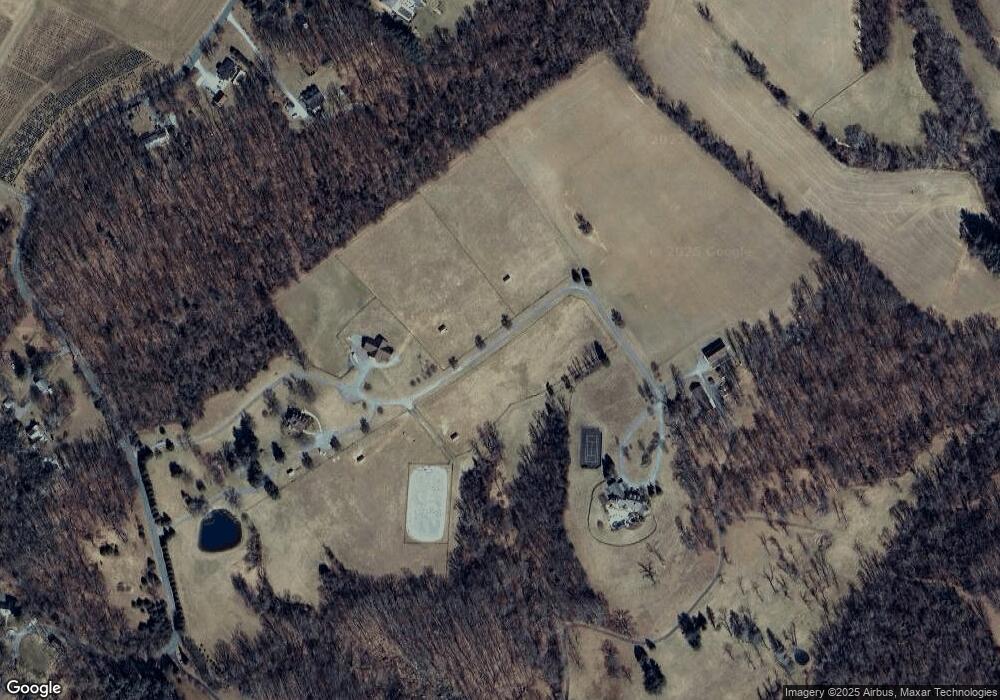
Map
Nearby Homes
- 3220 Mount Carmel Rd
- 3116 Mount Carmel Rd
- 1 Singletree Ct
- 42 Bush Cabin Ct
- 0 Falls Rd Unit MDBC2120964
- 17606 Pretty Boy Dam Rd
- 2105 Stringtown Rd
- 17718 Pretty Boy Dam Rd
- 16535 Trenton Rd
- 18319 Foreston Rd
- 15651 Duncan Hill Rd
- 18401 Foreston Rd
- 18423 Foreston Rd
- 16418 Cedar Grove Rd
- 14815 Dover Rd
- 16306 Trenton Rd
- 17515 Masemore Rd
- 1016 Cold Bottom Rd
- 17 Mamopa Ct
- 18626 Gunpowder Rd
- 16817 Gorsuch Mill Rd
- 16891 Gorsuch Mill Rd
- 16813 Gorsuch Mill Rd
- 16819 Gorsuch Mill Rd
- 16807 Gorsuch Mill Rd
- 16821 Gorsuch Mill Rd
- 16823 Gorsuch Mill Rd
- 16729 Gorsuch Mill Rd
- 16758 Gorsuch Mill Rd
- 1 Black Rock Ct
- 16901 Gorsuch Mill Rd Unit A
- 16901A Gorsuch Mill Rd
- 16903 Gorsuch Mill Rd
- 16710 Gorsuch Mill Rd
- 16911 Gorsuch Mill Rd
- 16776 Gorsuch Mill Rd
- 16628 Falls Rd
- 16542 Falls Rd
- 16425 Falls Rd
- 1 Falls Rd