16749 Port Royal Cir Jupiter, FL 33477
Jonathan's Landing NeighborhoodEstimated Value: $3,243,572 - $4,795,000
--
Bed
4
Baths
3,524
Sq Ft
$1,133/Sq Ft
Est. Value
About This Home
This home is located at 16749 Port Royal Cir, Jupiter, FL 33477 and is currently estimated at $3,991,393, approximately $1,132 per square foot. 16749 Port Royal Cir is a home located in Palm Beach County with nearby schools including Lighthouse Elementary School, Beacon Cove Intermediate School, and Jupiter Middle School.
Ownership History
Date
Name
Owned For
Owner Type
Purchase Details
Closed on
Jan 28, 2020
Sold by
Kaperst Bernice and Kaperst Bernice
Bought by
Kaperst Robin and Kaperst Bernice
Current Estimated Value
Purchase Details
Closed on
Dec 30, 2008
Sold by
Kaperst Robin Ann
Bought by
Kaperst Bernice
Purchase Details
Closed on
Jan 29, 2007
Sold by
Kaperst Robin Ann and The Bernice Kaperst Qualified
Bought by
Kaperst Robin Ann
Purchase Details
Closed on
Feb 11, 1997
Sold by
Kaperst Bernice and Kaperst Laurence E
Bought by
Kaperst Laurence E
Create a Home Valuation Report for This Property
The Home Valuation Report is an in-depth analysis detailing your home's value as well as a comparison with similar homes in the area
Home Values in the Area
Average Home Value in this Area
Purchase History
| Date | Buyer | Sale Price | Title Company |
|---|---|---|---|
| Kaperst Robin | -- | Attorney | |
| Kaperst Bernice | $1,750,000 | Attorney | |
| Kaperst Robin Ann | $1,750,000 | Attorney | |
| Kaperst Laurence E | $100 | -- |
Source: Public Records
Tax History Compared to Growth
Tax History
| Year | Tax Paid | Tax Assessment Tax Assessment Total Assessment is a certain percentage of the fair market value that is determined by local assessors to be the total taxable value of land and additions on the property. | Land | Improvement |
|---|---|---|---|---|
| 2024 | $32,228 | $1,981,761 | -- | -- |
| 2023 | $31,538 | $1,924,040 | $0 | $0 |
| 2022 | $33,702 | $2,004,702 | $0 | $0 |
| 2021 | $13,835 | $808,387 | $0 | $0 |
| 2020 | $13,761 | $797,226 | $0 | $0 |
| 2019 | $13,610 | $779,302 | $0 | $0 |
| 2018 | $12,917 | $764,771 | $0 | $0 |
| 2017 | $12,812 | $749,041 | $0 | $0 |
| 2016 | $12,878 | $733,635 | $0 | $0 |
| 2015 | $13,215 | $728,535 | $0 | $0 |
| 2014 | $13,256 | $722,753 | $0 | $0 |
Source: Public Records
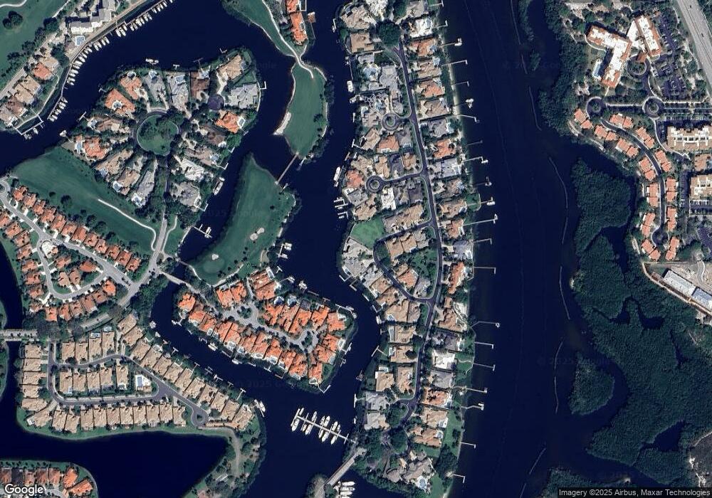
Map
Nearby Homes
- 3208 Pilots Point Cir
- 130 Mangrove Bay Way
- 138 E Mangrove Bay Way
- 140 E Mangrove Bay Way
- 16940 Bay St Unit 5040
- 16940 Bay St Unit 505
- 16910 Bay St Unit 2040
- 3322 Casseekey Island Rd Unit 901
- 3486 Lantern Bay Dr
- 169 Seabreeze Cir
- 135 Water Pointe Place Unit 24
- 135 Water Pointe Place Unit 22
- 297 Seabreeze Cir Unit 2970
- 17065 Bay St
- 154 Seabreeze Cir
- 246 Seabreeze Cir
- 104 Sunfish Ln
- 143 Ocean Cove Dr
- 130 Seabreeze Cir
- 348 S US Highway 1
- 16741 Port Royal Cir
- 16757 Port Royal Cir
- 16733 Port Royal Cir
- 3250 W Channel Cir
- 16766 Port Royal Cir
- 16773 Port Royal Cir
- 16725 Port Royal Cir
- 16774 Port Royal Cir
- 3260 W Channel Cir
- 3240 W Channel Cir
- 16781 Port Royal Cir
- 16717 Port Royal Cir
- 16718 Port Royal Cir
- 16790 Port Royal Cir
- 3230 W Channel Cir
- 3259 W Channel Cir
- 16789 Port Royal Cir
- 16709 Port Royal Cir
- 3299 Bridgegate Dr
- 16700 Port Royal Cir