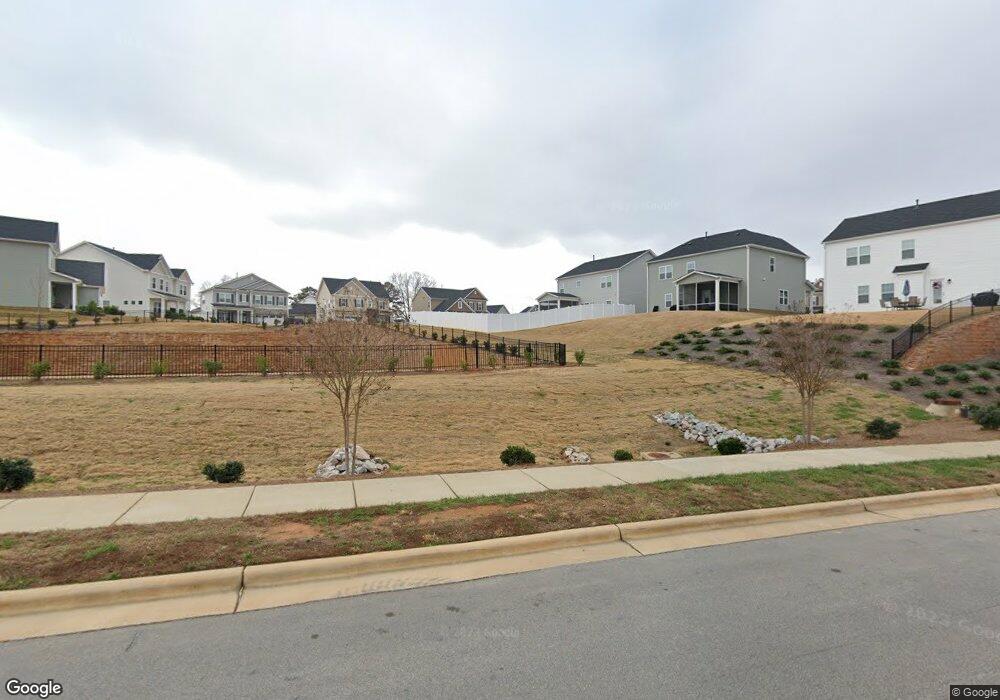
1675 Clifford Rd Garner, NC 27529
White Oak NeighborhoodEstimated Value: $590,926
--
Bed
2
Baths
2,564
Sq Ft
$230/Sq Ft
Est. Value
About This Home
This home is located at 1675 Clifford Rd, Garner, NC 27529 and is currently estimated at $590,926, approximately $230 per square foot. 1675 Clifford Rd is a home with nearby schools including Bryan Road Elementary, East Garner Middle School, and South Garner High.
Ownership History
Date
Name
Owned For
Owner Type
Purchase Details
Closed on
Jul 12, 2022
Sold by
Coleman Theresa D
Bought by
Sasa Development Llc
Current Estimated Value
Purchase Details
Closed on
Apr 7, 2021
Sold by
Bagley Isham T and Coleman Theresa D
Bought by
Coleman Theresa D
Purchase Details
Closed on
Mar 29, 2019
Sold by
Bagley Martha Burnette
Bought by
Bagley Isham T
Purchase Details
Closed on
Aug 27, 2012
Sold by
Burnette Ethel W
Bought by
Bagley Martha Burnette
Create a Home Valuation Report for This Property
The Home Valuation Report is an in-depth analysis detailing your home's value as well as a comparison with similar homes in the area
Home Values in the Area
Average Home Value in this Area
Purchase History
| Date | Buyer | Sale Price | Title Company |
|---|---|---|---|
| Sasa Development Llc | $600,000 | Midtown Property Law | |
| Sasa Development Llc | $600,000 | None Listed On Document | |
| Coleman Theresa D | -- | None Available | |
| Coleman Theresa D | -- | None Listed On Document | |
| Bagley Isham T | -- | None Available | |
| Bagley Isham T | -- | None Listed On Document | |
| Bagley Martha Burnette | -- | None Available |
Source: Public Records
Tax History Compared to Growth
Tax History
| Year | Tax Paid | Tax Assessment Tax Assessment Total Assessment is a certain percentage of the fair market value that is determined by local assessors to be the total taxable value of land and additions on the property. | Land | Improvement |
|---|---|---|---|---|
| 2025 | $2,418 | $378,000 | $378,000 | -- |
| 2024 | $2,347 | $378,000 | $378,000 | $0 |
| 2023 | $3,141 | $201,120 | $201,120 | $0 |
| 2022 | $2,912 | $397,711 | $201,120 | $196,591 |
| 2021 | $2,835 | $397,711 | $201,120 | $196,591 |
| 2020 | $2,788 | $397,711 | $201,120 | $196,591 |
| 2019 | $2,610 | $314,675 | $162,160 | $152,515 |
| 2018 | $0 | $314,675 | $162,160 | $152,515 |
| 2017 | $9,373 | $314,675 | $162,160 | $152,515 |
Source: Public Records
Map
Nearby Homes
- 1709 Clifford Rd
- 117 Sambar Deer Ln
- 168 Whitetail Deer Ln
- 101 Painted Rock Ct
- 128 Potomac River St
- 123 Gunderson Ln
- 168 Potomac River St
- 128 Umbrella Way
- 143 Umbrella Way
- 209 Potomac River St
- 156 Pinkie Ln
- 132 Siebold St
- 155 Siebold St
- 139 Siebold St
- 144 Siebold St
- 143 Siebold St
- 140 Siebold St
- 127 Siebold St
- 136 Siebold St
- 151 Siebold St
- 1709 Clifford Rd Unit 1675 Clifford Road
- 109 Whitetail Deer Ln
- 113 Whitetail Deer Ln
- 105 Whitetail Deer Ln
- 117 Whitetail Deer Ln
- 112 Blacktail Deer Ln
- 108 Blacktail Deer Ln
- 104 Blacktail Deer Ln
- 107 Pronghorn Deer Ct
- 111 Pronghorn Deer Ct
- 116 Blacktail Deer Ln
- 124 Blacktail Deer Ln
- 120 Blacktail Deer Ln
- 115 Pronghorn Deer Ct
- 123 Pronghorn Deer Ln
- 100 Sambar Deer Ln
- 125 Whitetail Deer Ln
- 119 Pronghorn Deer Ct
- 102 Sambar Deer Ln
- 248 Axis Deer Ln