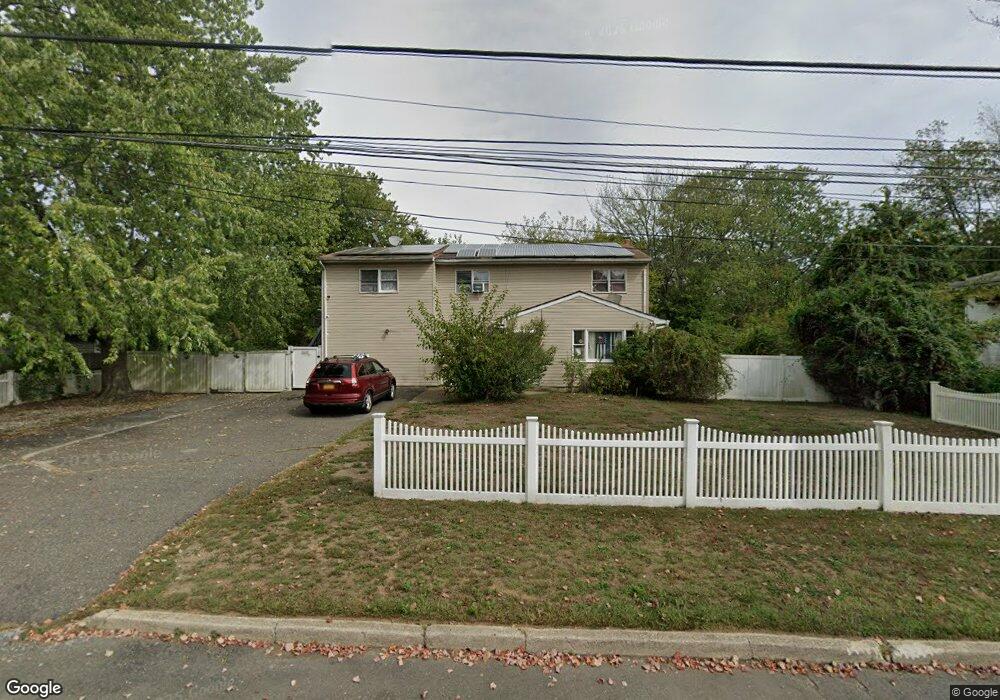
1675 Elsie Ln Bay Shore, NY 11706
Estimated Value: $626,000 - $658,539
2
Beds
1
Bath
2,734
Sq Ft
$235/Sq Ft
Est. Value
About This Home
This home is located at 1675 Elsie Ln, Bay Shore, NY 11706 and is currently estimated at $642,635, approximately $235 per square foot. 1675 Elsie Ln is a home located in Suffolk County with nearby schools including Heritage Christian Academy.
Ownership History
Date
Name
Owned For
Owner Type
Purchase Details
Closed on
Feb 29, 2016
Sold by
Taveras Azel and Taveras Bernarda
Bought by
Fan Liang Yi
Current Estimated Value
Home Financials for this Owner
Home Financials are based on the most recent Mortgage that was taken out on this home.
Original Mortgage
$240,000
Outstanding Balance
$189,959
Interest Rate
3.65%
Mortgage Type
New Conventional
Estimated Equity
$452,676
Purchase Details
Closed on
Oct 22, 2004
Sold by
Galit Harold
Bought by
Taveras Bernarda
Create a Home Valuation Report for This Property
The Home Valuation Report is an in-depth analysis detailing your home's value as well as a comparison with similar homes in the area
Home Values in the Area
Average Home Value in this Area
Purchase History
| Date | Buyer | Sale Price | Title Company |
|---|---|---|---|
| Fan Liang Yi | $320,000 | None Available | |
| Taveras Bernarda | $350,000 | Fernando Arias Jr. |
Source: Public Records
Mortgage History
| Date | Status | Borrower | Loan Amount |
|---|---|---|---|
| Open | Fan Liang Yi | $240,000 |
Source: Public Records
Tax History Compared to Growth
Tax History
| Year | Tax Paid | Tax Assessment Tax Assessment Total Assessment is a certain percentage of the fair market value that is determined by local assessors to be the total taxable value of land and additions on the property. | Land | Improvement |
|---|---|---|---|---|
| 2024 | $10,439 | $42,000 | $6,500 | $35,500 |
| 2023 | $10,439 | $42,000 | $6,500 | $35,500 |
| 2022 | $9,084 | $42,000 | $6,500 | $35,500 |
| 2021 | $9,084 | $42,000 | $6,500 | $35,500 |
| 2020 | $9,730 | $42,000 | $6,500 | $35,500 |
| 2019 | $9,730 | $0 | $0 | $0 |
| 2018 | -- | $42,000 | $6,500 | $35,500 |
| 2017 | $9,227 | $42,000 | $6,500 | $35,500 |
| 2016 | $9,119 | $42,000 | $6,500 | $35,500 |
| 2015 | -- | $42,000 | $6,500 | $35,500 |
| 2014 | -- | $42,000 | $6,500 | $35,500 |
Source: Public Records
Map
Nearby Homes
- 1706 Manatuck Blvd
- 1614 Brightshore Blvd
- 0 Locust Dr Unit KEY913800
- 1663 N Thompson Dr
- 188 Forrest Place
- 1678 N Thompson Dr
- 1 Hemlock Dr Unit C148
- 3C Hemlock Dr
- 7A Hemlock Dr Unit 65
- 1563 Baldwin Blvd
- 13 New Hampshire Ave
- 1728 N Gardiner Dr
- 1796 Wells Dr
- 1609 N Thompson Dr
- 25 Candlewood Rd
- 1655 Stein Dr
- 1739 Harrison Ave
- 1534 Pine Acres Blvd
- 117 Suffolk Ave
- 1776 Stein Dr