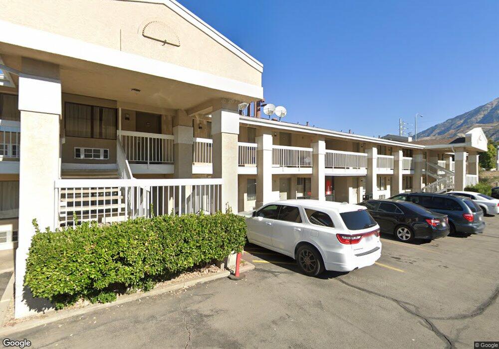
1675 N Freedom Blvd Unit 10-G Provo, UT 84604
Riverside NeighborhoodEstimated Value: $1,068,167
--
Bed
--
Bath
6,871
Sq Ft
$155/Sq Ft
Est. Value
About This Home
This home is located at 1675 N Freedom Blvd Unit 10-G, Provo, UT 84604 and is currently estimated at $1,068,167, approximately $155 per square foot. 1675 N Freedom Blvd Unit 10-G is a home located in Utah County with nearby schools including Rock Canyon Elementary School, Centennial Middle School, and Timpview High School.
Ownership History
Date
Name
Owned For
Owner Type
Purchase Details
Closed on
Nov 30, 2022
Sold by
Dha Investments Llc
Bought by
Moyer Enterprises Llc
Current Estimated Value
Purchase Details
Closed on
Jul 2, 2019
Sold by
Village Green Properties Llc
Bought by
D H A Investments Llc
Purchase Details
Closed on
Oct 2, 2012
Sold by
The Village Green Commerical Center Prop
Bought by
Village Green Properties Llc
Create a Home Valuation Report for This Property
The Home Valuation Report is an in-depth analysis detailing your home's value as well as a comparison with similar homes in the area
Home Values in the Area
Average Home Value in this Area
Purchase History
| Date | Buyer | Sale Price | Title Company |
|---|---|---|---|
| Moyer Enterprises Llc | -- | Old Republic Title | |
| D H A Investments Llc | -- | Old Republic Title Orem | |
| Village Green Properties Llc | -- | None Available |
Source: Public Records
Tax History Compared to Growth
Tax History
| Year | Tax Paid | Tax Assessment Tax Assessment Total Assessment is a certain percentage of the fair market value that is determined by local assessors to be the total taxable value of land and additions on the property. | Land | Improvement |
|---|---|---|---|---|
| 2025 | $7,709 | $1,002,900 | $300,500 | $702,400 |
| 2024 | $7,709 | $758,800 | $0 | $0 |
| 2023 | $7,727 | $749,800 | $0 | $0 |
| 2022 | $6,339 | $620,300 | $295,000 | $325,300 |
| 2021 | $6,609 | $620,300 | $295,000 | $325,300 |
| 2020 | $7,359 | $647,500 | $295,000 | $352,500 |
| 2019 | $8,194 | $749,800 | $295,000 | $454,800 |
| 2018 | $7,013 | $650,900 | $265,200 | $385,700 |
| 2017 | $7,780 | $721,400 | $0 | $0 |
| 2016 | $6,361 | $549,700 | $0 | $0 |
| 2015 | $6,293 | $549,700 | $0 | $0 |
| 2014 | $6,037 | $549,700 | $0 | $0 |
Source: Public Records
Map
Nearby Homes
- 1559 N Riverside Ave Unit 4
- 1533 N Riverside Ave Unit 27
- 1963 N Canyon Rd Unit 105
- 182 E 2090 N
- 186 E 2100 N
- 1661 Willowbrook Dr
- 360 Sumac Ln
- 260 E 2100 N
- 2244 N Canyon Rd Unit 305
- 2244 N Canyon Rd Unit 207
- 1685 Hickory Ln
- 920 W Columbia Ln
- 1633 Woodland Dr
- 1763 Willowbrook Dr Unit 4D1
- 819 W 2300 N
- 1254 N 800 W
- 1009 W 2000 N
- 2254 N 390 E
- 2295 N 470 E
- 1149 N 850 W
- 1675 N Freedom Blvd
- 1675 N Freedom Blvd Unit 9A
- 1675 N Freedom Blvd Unit 10 A
- 1675 N Freedom Blvd Unit 2
- 1675 N Freedom Blvd Unit 7B
- 1675 N Freedom Blvd Unit 9B
- 1675 N Freedom Blvd Unit 4B
- 1675 N Freedom Blvd Unit STE 7B
- 1675 Freedom Boulevard 200 W Unit 10-G
- 264 W 1625 N
- 290 W 1625 N
- 255 W 1625 N
- 285 W 1625 N
- 265 W 1625 N
- 1590 N 300 W
- 1580 N 300 W
- 1570 N 300 W
- 1600 N Freedom Blvd
- 1560 N 300 W
- 1567 N 300 W