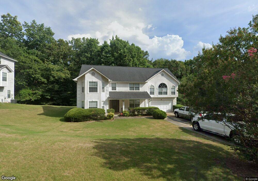
1675 Rolling Stone Dr Unit 2 Lithonia, GA 30058
Estimated Value: $328,000 - $366,000
4
Beds
3
Baths
3,054
Sq Ft
$113/Sq Ft
Est. Value
About This Home
This home is located at 1675 Rolling Stone Dr Unit 2, Lithonia, GA 30058 and is currently estimated at $344,708, approximately $112 per square foot. 1675 Rolling Stone Dr Unit 2 is a home located in DeKalb County with nearby schools including Rock Chapel Elementary School, Lithonia Middle School, and Lithonia High School.
Ownership History
Date
Name
Owned For
Owner Type
Purchase Details
Closed on
Jun 24, 2002
Sold by
Washington Susan L
Bought by
Washington Roy D
Current Estimated Value
Home Financials for this Owner
Home Financials are based on the most recent Mortgage that was taken out on this home.
Original Mortgage
$148,000
Outstanding Balance
$62,312
Interest Rate
6.75%
Mortgage Type
New Conventional
Estimated Equity
$282,396
Purchase Details
Closed on
May 31, 1995
Sold by
Herman Homes Inc
Bought by
Washington Roy D Susan L
Create a Home Valuation Report for This Property
The Home Valuation Report is an in-depth analysis detailing your home's value as well as a comparison with similar homes in the area
Home Values in the Area
Average Home Value in this Area
Purchase History
| Date | Buyer | Sale Price | Title Company |
|---|---|---|---|
| Washington Roy D | -- | -- | |
| Washington Roy D Susan L | $149,900 | -- |
Source: Public Records
Mortgage History
| Date | Status | Borrower | Loan Amount |
|---|---|---|---|
| Open | Washington Roy D | $148,000 | |
| Closed | Washington Roy D Susan L | $0 |
Source: Public Records
Tax History
| Year | Tax Paid | Tax Assessment Tax Assessment Total Assessment is a certain percentage of the fair market value that is determined by local assessors to be the total taxable value of land and additions on the property. | Land | Improvement |
|---|---|---|---|---|
| 2025 | $6,176 | $129,880 | $13,040 | $116,840 |
| 2024 | $6,477 | $136,760 | $13,040 | $123,720 |
| 2023 | $6,477 | $132,840 | $13,040 | $119,800 |
Source: Public Records
Map
Nearby Homes
- 1736 Mossy Rock Cove
- 8241 Mckenzie Place
- 8571 Secretariat Dr
- 8573 Secretariat Dr
- 8577 Secretariat Dr
- 8579 Secretariat Dr
- 8581 Secretariat Dr
- 8580 Secretariat Dr
- 8578 Preakness Pass
- 8580 Seabiscuit Rd
- 8581 Preakness Pass
- 8580 Preakness Pass
- 8582 Seabiscuit Rd
- 8583 Preakness Pass
- 8582 Preakness Pass
- 8585 Preakness Pass
- 8584 Preakness Pass
- 8586 Preakness Pass
- 8592 Secretariat Dr
- 8601 Secretariat Dr
- 1667 Rolling Stone Dr
- 1685 Rolling Stone Dr
- 1706 Mossy Rock Cove
- 8296 Bedrock Run Unit II
- 1718 Mossy Rock Cove Unit 2
- 1695 Rolling Stone Dr Unit 2
- 1724 Mossy Rock Cove
- 1684 Rolling Stone Dr Unit 2
- 1650 Rolling Stone Dr Unit 2
- 1674 Rolling Stone Dr
- 1700 Mossy Rock Cove Unit 2
- 1705 Rolling Stone Dr Unit 2
- 1711 Mossy Rock Cove
- 1723 Mossy Rock Cove Unit 2
- 8316 Bedrock Run Unit II
- 8306 Bedrock Run
- 1694 Rolling Stone Dr
- 1733 Mossy Rock Cove
- 1635 Rolling Stone Dr
- 1630 Rolling Stone Dr Unit 2
Your Personal Tour Guide
Ask me questions while you tour the home.