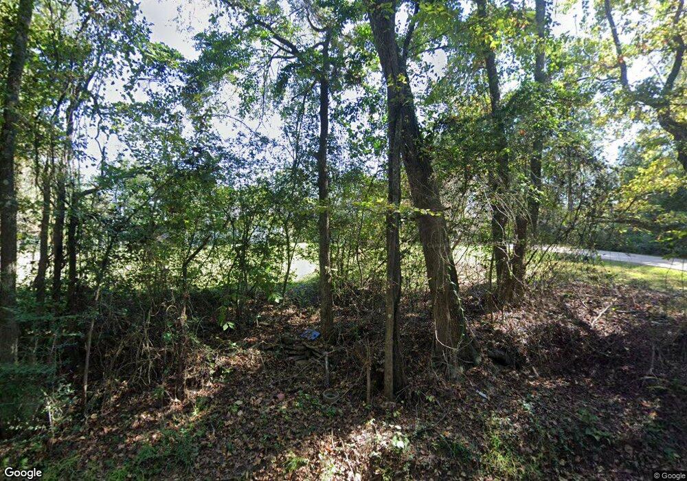
1676 Burns Rd Huntington, TX 75949
Estimated Value: $214,000 - $303,730
--
Bed
1
Bath
2,118
Sq Ft
$116/Sq Ft
Est. Value
About This Home
This home is located at 1676 Burns Rd, Huntington, TX 75949 and is currently estimated at $246,577, approximately $116 per square foot. 1676 Burns Rd is a home located in Angelina County with nearby schools including Huntington Elementary School, Huntington Intermediate School, and Huntington Middle School.
Ownership History
Date
Name
Owned For
Owner Type
Purchase Details
Closed on
Apr 4, 2025
Sold by
Golden Dorinda Kay
Bought by
Flores Anthony Richard
Current Estimated Value
Home Financials for this Owner
Home Financials are based on the most recent Mortgage that was taken out on this home.
Original Mortgage
$255,290
Outstanding Balance
$254,200
Interest Rate
6.85%
Mortgage Type
FHA
Estimated Equity
-$7,623
Create a Home Valuation Report for This Property
The Home Valuation Report is an in-depth analysis detailing your home's value as well as a comparison with similar homes in the area
Home Values in the Area
Average Home Value in this Area
Purchase History
| Date | Buyer | Sale Price | Title Company |
|---|---|---|---|
| Flores Anthony Richard | -- | Angelina Title |
Source: Public Records
Mortgage History
| Date | Status | Borrower | Loan Amount |
|---|---|---|---|
| Open | Flores Anthony Richard | $255,290 |
Source: Public Records
Tax History Compared to Growth
Tax History
| Year | Tax Paid | Tax Assessment Tax Assessment Total Assessment is a certain percentage of the fair market value that is determined by local assessors to be the total taxable value of land and additions on the property. | Land | Improvement |
|---|---|---|---|---|
| 2025 | $4,305 | $261,570 | $106,370 | $155,200 |
| 2024 | $4,338 | $263,590 | $106,370 | $157,220 |
| 2023 | $4,316 | $266,580 | $106,370 | $160,210 |
| 2022 | $2,287 | $216,890 | $62,450 | $154,440 |
| 2021 | $2,099 | $114,370 | $62,450 | $51,920 |
| 2020 | $1,862 | $100,810 | $49,780 | $51,030 |
| 2019 | $1,862 | $94,440 | $46,520 | $47,920 |
| 2018 | $904 | $88,040 | $46,520 | $41,520 |
| 2017 | $904 | $86,550 | $46,520 | $40,030 |
| 2016 | $1,811 | $86,610 | $46,520 | $40,090 |
| 2015 | $930 | $86,610 | $46,520 | $40,090 |
| 2014 | $930 | $84,980 | $46,520 | $38,460 |
Source: Public Records
Map
Nearby Homes
- 1905 Mill Creek Rd
- 2252 Fm 328
- 105 W Spruce St
- R41015 & R41016 Farm Market 2109
- R41007 Farm To Market 2109
- PID 25155 Farm To Market 2109
- R41009 & R41022 Farm To Market 2109
- R41008 Farm To Market 2109
- R41006 Farm To Market 2109
- R41015 & R41016 Farm To Market 2109
- R41012 & R41019 Farm To Market 2109
- R41013 & R41018 Farm To Market 2109
- Parcel #142407 Farm To Market 2109
- R41010 & R41021 Farm To Market 2109
- R41014 & R41017 Farm To Market 2109
- R41011 & R41020 Farm To Market 2109
- R41005 Farm To Market 2109
- 503 Nerren Cemetery Rd
- 353 Fm 1475
- 111 W Pecan St
- 1677 Burns Rd
- 1647 Burns Rd
- 1455 Burns Rd
- 453 Mill Creek Rd
- 1372,74,76 Mill Creek
- 1372 Mill Creek Rd
- 1483 Mill Creek Rd
- TBD Mill Creek Rd
- 1440 Mill Creek Rd
- 1524 Mill Creek Rd
- 1607 Mill Creek Rd
- 0 Wigley Ln
- 859 Burns Rd
- 247 McQuilkin Rd
- 153 Mill Creek Rd
- 5081 Fm 1669
- 4967 Fm 1669
- 5133 Fm 1669
- 5169 Fm 1669
- 0 Fm 1669 Unit 32419
