Estimated Value: $383,167 - $522,000
3
Beds
2
Baths
1,556
Sq Ft
$273/Sq Ft
Est. Value
About This Home
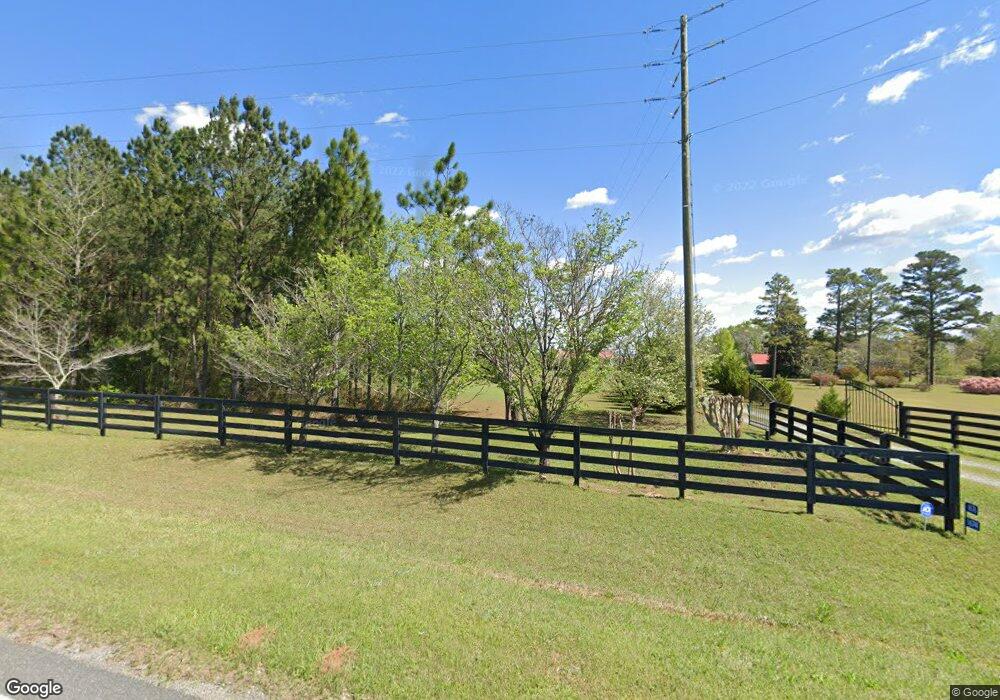
This home is located at 1676 Ga Highway 90 W, Mauk, GA 31058 and is currently estimated at $424,292, approximately $272 per square foot. 1676 Ga Highway 90 W is a home located in Taylor County with nearby schools including Taylor County Primary School, Taylor County Upper Elementary School, and Taylor County Middle School.
Ownership History
Date
Name
Owned For
Owner Type
Purchase Details
Closed on
Oct 9, 2015
Sold by
Gosnell Eddie R
Bought by
Sand Hill Plantation Llc
Current Estimated Value
Purchase Details
Closed on
Sep 4, 2012
Sold by
Gosnell Eddie R
Bought by
Carnes Gary W
Purchase Details
Closed on
Aug 9, 2006
Sold by
Gosnell Linda W
Bought by
Carnes Gary W
Purchase Details
Closed on
Aug 13, 2001
Sold by
Waller Robert S
Bought by
Gosnell Eddie R and Gosnell Li
Purchase Details
Closed on
May 8, 2001
Sold by
Waller Robert D Etal
Bought by
Waller Robert S
Purchase Details
Closed on
May 26, 2000
Sold by
Waller Robert D and Waller Et
Bought by
Waller Robert D Etal
Purchase Details
Closed on
Dec 7, 1999
Bought by
Waller Robert D and Waller Et
Create a Home Valuation Report for This Property
The Home Valuation Report is an in-depth analysis detailing your home's value as well as a comparison with similar homes in the area
Home Values in the Area
Average Home Value in this Area
Purchase History
| Date | Buyer | Sale Price | Title Company |
|---|---|---|---|
| Sand Hill Plantation Llc | $200,000 | -- | |
| Carnes Gary W | $40,000 | -- | |
| Carnes Gary W | $1,200 | -- | |
| Gosnell Eddie R | $80,000 | -- | |
| Waller Robert S | -- | -- | |
| Waller Robert D Etal | -- | -- | |
| Waller Robert D | -- | -- |
Source: Public Records
Tax History Compared to Growth
Tax History
| Year | Tax Paid | Tax Assessment Tax Assessment Total Assessment is a certain percentage of the fair market value that is determined by local assessors to be the total taxable value of land and additions on the property. | Land | Improvement |
|---|---|---|---|---|
| 2024 | $2,382 | $122,320 | $20,800 | $101,520 |
| 2023 | $2,099 | $99,840 | $17,080 | $82,760 |
| 2022 | $2,211 | $96,240 | $17,240 | $79,000 |
| 2021 | $1,965 | $91,800 | $17,240 | $74,560 |
| 2020 | $1,975 | $91,800 | $17,240 | $74,560 |
| 2019 | $2,001 | $91,800 | $17,240 | $74,560 |
| 2018 | $2,230 | $92,608 | $17,240 | $75,368 |
| 2017 | $1,793 | $84,822 | $17,424 | $67,398 |
| 2016 | $1,708 | $84,823 | $17,424 | $67,398 |
| 2015 | -- | $86,090 | $18,894 | $67,196 |
| 2014 | -- | $83,969 | $27,202 | $56,767 |
| 2013 | -- | $85,666 | $27,202 | $58,464 |
Source: Public Records
Map
Nearby Homes
- 15 Georgia 127
- 0 Brannon Montgomery Rd Unit 10453495
- 0 Brannon Montgomery Rd Unit 25510431
- 375 Village Ln
- 0 Liberty Rd
- 12 AC Liberty Rd
- 62 Brannon Montgomery Rd
- 3599 Ga Highway 127
- 221 Flamingo Dr
- 0 Poll Mill Rd
- 766 Parks Rd
- 65 Saddle Trail
- SR-240 Connector
- 2450 Fort Perry Rd
- 0 Miller Rd Unit 10319190
- 0 Miller Rd Unit 25510377
- 0 Miller Rd Unit 25510378
- 0 Moores Chapel Rd Unit 10650485
- 0 Moores Chapel Rd Unit 25800784
- 0 Moores Chapel Rd Unit 25510371