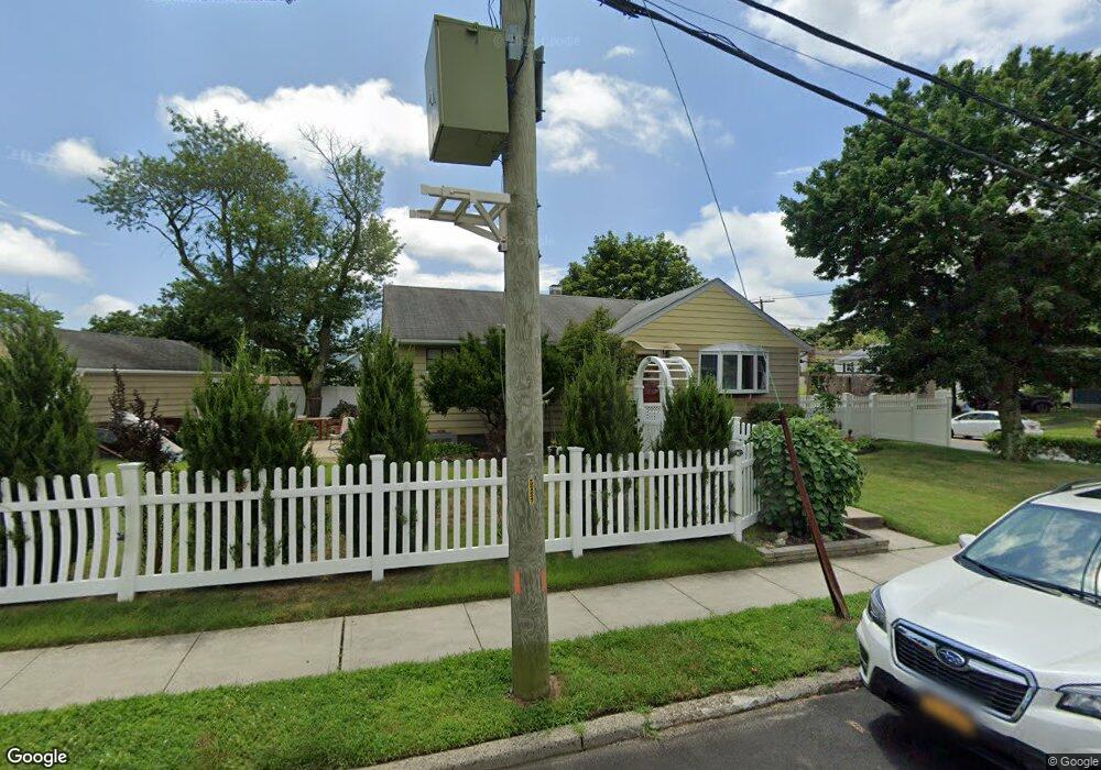
1676 Michael William Rd Merrick, NY 11566
Estimated Value: $719,000 - $723,883
Studio
2
Baths
1,130
Sq Ft
$638/Sq Ft
Est. Value
About This Home
This home is located at 1676 Michael William Rd, Merrick, NY 11566 and is currently estimated at $721,442, approximately $638 per square foot. 1676 Michael William Rd is a home located in Nassau County with nearby schools including Merrick Avenue Middle School, Sanford H Calhoun High School, and Sacred Heart School.
Ownership History
Date
Name
Owned For
Owner Type
Purchase Details
Closed on
Jun 22, 2010
Sold by
Zam Paul E
Bought by
Zam Robert S and Luchsinger Brandon M
Current Estimated Value
Home Financials for this Owner
Home Financials are based on the most recent Mortgage that was taken out on this home.
Original Mortgage
$292,000
Outstanding Balance
$193,866
Interest Rate
4.78%
Mortgage Type
Purchase Money Mortgage
Estimated Equity
$527,576
Purchase Details
Closed on
Oct 10, 2008
Sold by
Zam Paul Eliot and Zam Robert S
Bought by
Zam Paul E and Zam Robert S
Purchase Details
Closed on
Oct 2, 1998
Purchase Details
Closed on
Apr 11, 1997
Create a Home Valuation Report for This Property
The Home Valuation Report is an in-depth analysis detailing your home's value as well as a comparison with similar homes in the area
Home Values in the Area
Average Home Value in this Area
Purchase History
| Date | Buyer | Sale Price | Title Company |
|---|---|---|---|
| Zam Robert S | $342,000 | -- | |
| Zam Paul E | -- | Attorney | |
| Zam Paul E | -- | Attorney | |
| -- | -- | -- | |
| -- | -- | -- |
Source: Public Records
Mortgage History
| Date | Status | Borrower | Loan Amount |
|---|---|---|---|
| Open | Zam Robert S | $292,000 |
Source: Public Records
Tax History
| Year | Tax Paid | Tax Assessment Tax Assessment Total Assessment is a certain percentage of the fair market value that is determined by local assessors to be the total taxable value of land and additions on the property. | Land | Improvement |
|---|---|---|---|---|
| 2025 | $10,337 | $438 | $182 | $256 |
| 2024 | $3,040 | $466 | $194 | $272 |
Source: Public Records
Map
Nearby Homes
- 1721 Michael William Rd
- 1713 Camp Ave
- 1709 Camp Ave
- 1750 Henry Rd
- 1826 Camp Ave
- 1772 Rose St
- 57 Maeder Ave
- 49 Prospect St
- 1526 Rhode Ave
- 1871 Relyea Dr
- 45 Richard Ave
- 49 Elizabeth St
- 1719 William St
- 1656 Michalicki Place
- 25 Bainbridge St
- 379 Washington Ave
- 1741 Bushwick Ave
- 37 Decatur St
- 132 Webster St
- 1415 Rhode Ave
- 1663 Meadowbrook Rd
- 1704 Michael William Rd
- 1645 Michael William Rd
- 1669 Meadowbrook Rd
- 1710 Michael William Rd
- 1697 Michael William Rd
- 1703 Michael William Rd
- 1635 Meadowbrook Rd
- 1658 Meadowbrook Rd
- 1709 Michael William Rd
- 1716 Michael William Rd
- 1650 Meadowbrook Rd
- 1685 Meadowbrook Rd
- 1644 Meadowbrook Rd
- 1666 Meadowbrook Rd
- 1629 Meadowbrook Rd
- 1638 Meadowbrook Rd
- 1680 Meadowbrook Rd
- 1715 Michael William Rd
- 1692 Camp Ave
Your Personal Tour Guide
Ask me questions while you tour the home.