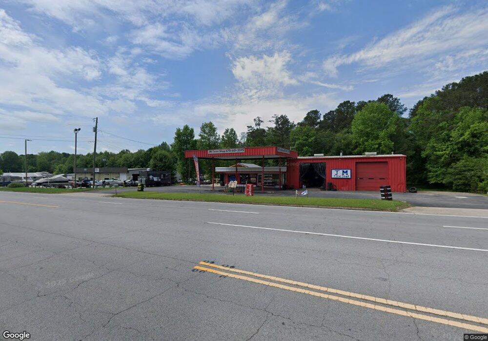
1676 N Highway 27 Carrollton, GA 30117
Abilene NeighborhoodEstimated Value: $241,795
--
Bed
--
Bath
1,920
Sq Ft
$126/Sq Ft
Est. Value
About This Home
This home is located at 1676 N Highway 27, Carrollton, GA 30117 and is currently estimated at $241,795, approximately $125 per square foot. 1676 N Highway 27 is a home located in Carroll County with nearby schools including Sharp Creek Elementary School, Central Middle School, and Central High School.
Ownership History
Date
Name
Owned For
Owner Type
Purchase Details
Closed on
Dec 29, 2022
Sold by
Vines Cheryl T
Bought by
Sbh Capital Llc
Current Estimated Value
Home Financials for this Owner
Home Financials are based on the most recent Mortgage that was taken out on this home.
Original Mortgage
$180,000
Interest Rate
6.49%
Mortgage Type
Mortgage Modification
Purchase Details
Closed on
Oct 29, 2001
Sold by
Vines Larry T
Bought by
Vines Larry T and Vines Cher
Purchase Details
Closed on
Aug 13, 1961
Bought by
Vines J C
Create a Home Valuation Report for This Property
The Home Valuation Report is an in-depth analysis detailing your home's value as well as a comparison with similar homes in the area
Home Values in the Area
Average Home Value in this Area
Purchase History
| Date | Buyer | Sale Price | Title Company |
|---|---|---|---|
| Sbh Capital Llc | $215,000 | -- | |
| Vines Larry T | -- | -- | |
| Vines J C | -- | -- |
Source: Public Records
Mortgage History
| Date | Status | Borrower | Loan Amount |
|---|---|---|---|
| Closed | Sbh Capital Llc | $180,000 |
Source: Public Records
Tax History Compared to Growth
Tax History
| Year | Tax Paid | Tax Assessment Tax Assessment Total Assessment is a certain percentage of the fair market value that is determined by local assessors to be the total taxable value of land and additions on the property. | Land | Improvement |
|---|---|---|---|---|
| 2024 | $2,725 | $120,439 | $89,600 | $30,839 |
| 2023 | $2,157 | $110,072 | $89,600 | $20,472 |
| 2022 | $2,577 | $102,738 | $69,300 | $33,438 |
| 2021 | $2,620 | $102,214 | $69,300 | $32,914 |
| 2020 | $2,671 | $104,052 | $69,300 | $34,752 |
| 2019 | $2,693 | $104,052 | $69,300 | $34,752 |
| 2018 | $2,609 | $99,359 | $69,300 | $30,059 |
| 2017 | $2,617 | $99,359 | $69,300 | $30,059 |
Source: Public Records
Map
Nearby Homes
- 524 Old Bremen Rd
- 110 Sharp Dr
- 300 Georgia 113
- 281 Northwinds Blvd
- 281 Northwinds Blvd Unit B3
- 281 Northwinds Blvd Unit D3
- 345 Henson Cir
- 101 Deer Park
- 0 Henson Cir Unit 10584639
- 0 Henson Cir Unit 7632920
- 70 Henson Cir
- 85 Mary Ln
- 2930 Highway 113
- 745 Kingsbridge Rd
- 219 Candlewood Dr
- 114 Kyle Way
- 70 W Meadowcliff Cir
- 125 Springwood Dr
- 0 Center Point Rd Unit TR 3 10274074
- 0 Center Point Rd Unit 7361099
- 1676 U S 27
- 1694 N Highway 27
- 0 Park Dr Unit 8815928
- 1683 Us Highway 27
- 25 Parkwood Cir
- 1720 U S 27
- 1683 N Highway 27
- 1683 U S 27
- 1720 N Highway 27
- 130 Parkwood Cir
- 101 Parkwood Cir
- 1731 Us Highway 27
- 128 Parkwood Cir
- 1750 U S 27
- 0 N Park St Unit 7494091
- 0 N Park St Unit 7427477
- 0 N Park St Unit 7153985
- 0 N Park St Unit 8431766
- 0 N Park St Unit 8725643
- N N Park St