1676 Robbins Station Rd North Huntingdon, PA 15642
Estimated Value: $530,507 - $703,000
--
Bed
--
Bath
3,138
Sq Ft
$201/Sq Ft
Est. Value
About This Home
This home is located at 1676 Robbins Station Rd, North Huntingdon, PA 15642 and is currently estimated at $630,127, approximately $200 per square foot. 1676 Robbins Station Rd is a home located in Westmoreland County with nearby schools including Stewartsville Elementary School, Hillcrest Intermediate School, and Norwin Middle School.
Ownership History
Date
Name
Owned For
Owner Type
Purchase Details
Closed on
Nov 18, 2020
Sold by
Nese Sherri L
Bought by
Tanner Christie Lynn and Campbell Ronald Walton
Current Estimated Value
Home Financials for this Owner
Home Financials are based on the most recent Mortgage that was taken out on this home.
Original Mortgage
$364,000
Outstanding Balance
$323,908
Interest Rate
2.8%
Mortgage Type
New Conventional
Estimated Equity
$306,219
Purchase Details
Closed on
Mar 12, 2004
Sold by
Vaughn Patricia and Vaughn Robert
Bought by
Nese James D and Nese Sherri L
Create a Home Valuation Report for This Property
The Home Valuation Report is an in-depth analysis detailing your home's value as well as a comparison with similar homes in the area
Home Values in the Area
Average Home Value in this Area
Purchase History
| Date | Buyer | Sale Price | Title Company |
|---|---|---|---|
| Tanner Christie Lynn | $460,000 | None Available | |
| Nese James D | -- | -- |
Source: Public Records
Mortgage History
| Date | Status | Borrower | Loan Amount |
|---|---|---|---|
| Open | Tanner Christie Lynn | $364,000 |
Source: Public Records
Tax History Compared to Growth
Tax History
| Year | Tax Paid | Tax Assessment Tax Assessment Total Assessment is a certain percentage of the fair market value that is determined by local assessors to be the total taxable value of land and additions on the property. | Land | Improvement |
|---|---|---|---|---|
| 2025 | $5,784 | $43,930 | $1,470 | $42,460 |
| 2024 | $5,528 | $43,930 | $1,470 | $42,460 |
| 2023 | $5,221 | $43,930 | $1,470 | $42,460 |
| 2022 | $5,177 | $43,930 | $1,470 | $42,460 |
| 2021 | $5,177 | $43,930 | $1,470 | $42,460 |
| 2020 | $5,071 | $43,930 | $1,470 | $42,460 |
| 2019 | $4,944 | $43,930 | $1,470 | $42,460 |
| 2018 | $4,838 | $43,930 | $1,470 | $42,460 |
| 2017 | $4,733 | $43,930 | $1,470 | $42,460 |
| 2016 | $4,546 | $43,930 | $1,470 | $42,460 |
| 2015 | $4,546 | $43,930 | $1,470 | $42,460 |
| 2014 | $4,465 | $43,930 | $1,470 | $42,460 |
Source: Public Records
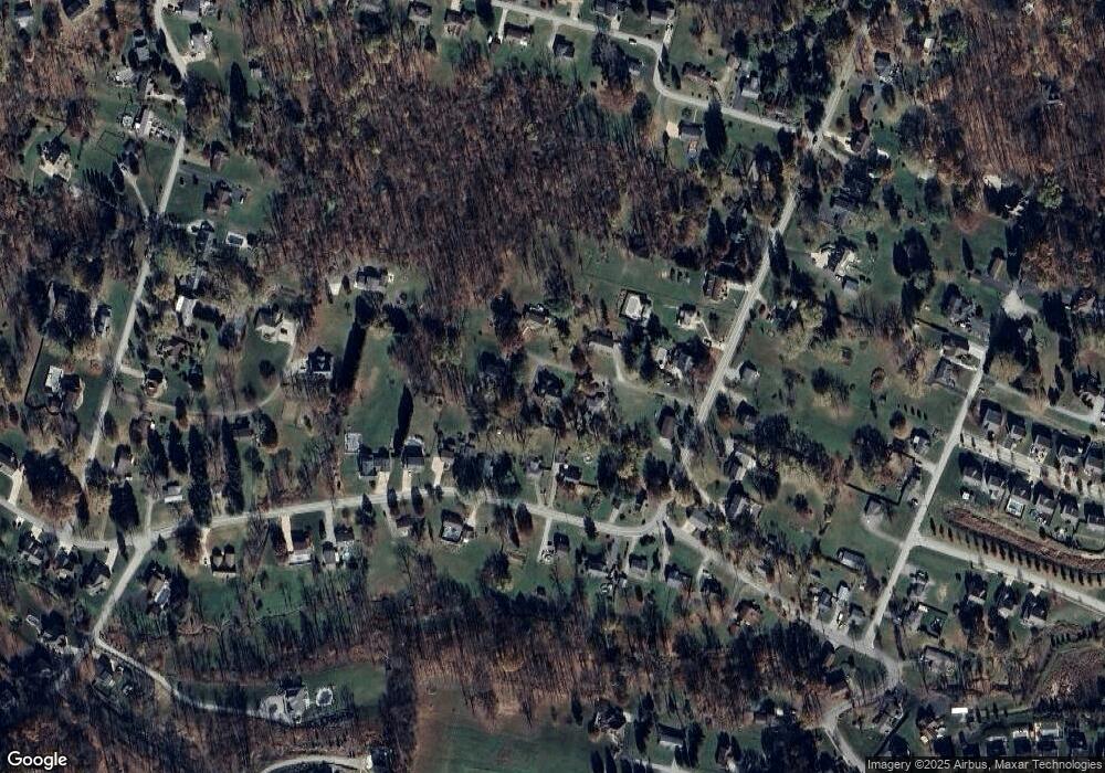
Map
Nearby Homes
- 2171 Robbins Station Rd
- 1754 Haflinger Dr
- 12729 Deborah Dr
- 12680 Veronica Ln
- 12620 Glennwood Dr
- 1201 Robbins Station Rd
- 12490 Adams Dr
- 11580 Percheron Cir
- 12429 Adams Dr
- 0 Ridge Rd
- 12220 Herold Dr
- 12329 Herold Dr
- 12509 Herold Dr
- 11740 Dennis Cir
- Parcel 3R Frank Wood Ridge Rd
- 12106 Center St
- 9030 Lucia Ln
- 11490 Mckee Rd
- 2331 Guffey Rd
- 12360 Church Dr
- 1172 Autumn Ln
- 1910 Robbins Station Rd
- 1200 Autumn Ln
- 1970 Robbins Station Rd
- 1193 Autumn Ln
- 1675 Robbins Station Rd
- 1870 Robbins Station Rd
- 1664 Robbins Station Rd
- 2010 Robbins Station Rd
- 1680 Robbins Station Rd
- 1670 Robbins Station Rd
- 1800 Robbins Station Rd
- 1800 Robbins Station Rd
- 1911 Robbins Station Rd
- 1941 Robbins Station Rd
- 1650 Robbins Station Rd
- 1851 Robbins Station Rd
- 1801 Robbins Station Rd
- 2050 Robbins Station Rd
- 1280 Lonestar Ln