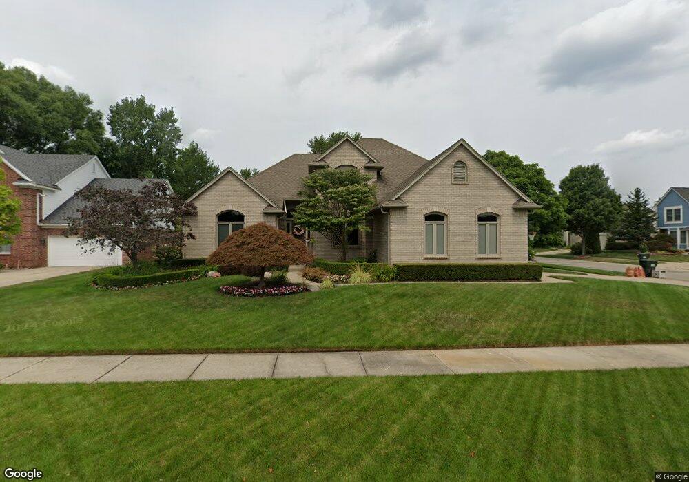
1676 Wethersfield Ct Rochester Hills, MI 48309
Estimated Value: $508,147 - $567,000
3
Beds
4
Baths
2,275
Sq Ft
$238/Sq Ft
Est. Value
About This Home
This home is located at 1676 Wethersfield Ct, Rochester Hills, MI 48309 and is currently estimated at $541,287, approximately $237 per square foot. 1676 Wethersfield Ct is a home located in Oakland County with nearby schools including Woodland Elementary School, Avondale Middle School, and Avondale High School.
Ownership History
Date
Name
Owned For
Owner Type
Purchase Details
Closed on
May 14, 2024
Sold by
Pastori David J and Pastori Sharon A
Bought by
Pastori Sharon A and Pastori Family Trust
Current Estimated Value
Purchase Details
Closed on
Apr 4, 1996
Sold by
Palazzolo Bros Constr Co
Bought by
Pastori David J
Home Financials for this Owner
Home Financials are based on the most recent Mortgage that was taken out on this home.
Original Mortgage
$191,500
Interest Rate
7.46%
Purchase Details
Closed on
Aug 8, 1995
Sold by
Singh Northbrooke Ltd Pt
Bought by
Brothers Palazollo
Create a Home Valuation Report for This Property
The Home Valuation Report is an in-depth analysis detailing your home's value as well as a comparison with similar homes in the area
Home Values in the Area
Average Home Value in this Area
Purchase History
| Date | Buyer | Sale Price | Title Company |
|---|---|---|---|
| Pastori Sharon A | -- | None Listed On Document | |
| Pastori David J | $239,635 | -- | |
| Brothers Palazollo | -- | -- |
Source: Public Records
Mortgage History
| Date | Status | Borrower | Loan Amount |
|---|---|---|---|
| Previous Owner | Pastori David J | $191,500 |
Source: Public Records
Tax History Compared to Growth
Tax History
| Year | Tax Paid | Tax Assessment Tax Assessment Total Assessment is a certain percentage of the fair market value that is determined by local assessors to be the total taxable value of land and additions on the property. | Land | Improvement |
|---|---|---|---|---|
| 2022 | $2,927 | $178,470 | $0 | $0 |
| 2018 | $4,453 | $175,480 | $0 | $0 |
| 2017 | $4,367 | $174,420 | $0 | $0 |
| 2015 | -- | $153,050 | $0 | $0 |
| 2014 | -- | $133,080 | $0 | $0 |
| 2011 | -- | $131,030 | $0 | $0 |
Source: Public Records
Map
Nearby Homes
- 3226 Fantail Dr Unit 12
- 1838 Alsdorf Ave
- 3225 Donley Ave
- 3315 Donley Ave
- 2106 Cattail Cir Unit 41
- 2119 Cattail Cir Unit 24
- 2179 Lagoon Dr Unit 19
- 0000 Auburn
- 3970 Cone Ave
- 2658 Simpson Dr
- 1370 South Blvd W
- 1755 South Blvd W
- 2222 Sanctuary Ct Unit 2
- 2579 Dearborn Ave
- 6952 Granger Dr
- 2533 Hartline Dr
- 3110 Raffler Dr
- 538 Scone Dr
- 3706 Winding Brook Cir Unit U42
- 2568 Devondale Rd
- 1690 Wethersfield Ct
- 3195 Davenport Ln
- 3210 Davenport Ln
- 3224 Davenport Ln
- 3181 Davenport Ln
- 1704 Wethersfield Ct
- 1675 Wethersfield Ct
- 3196 Davenport Ln
- 3238 Davenport Ln
- 1689 Wethersfield Ct
- 3182 Davenport Ln
- 1718 Wethersfield Ct
- 3167 Davenport Ln
- 3252 Davenport Ln
- 1703 Wethersfield Ct
- 3265 Davenport Ln
- 3207 Wren Ln
- 3168 Davenport Ln
- 3191 Wren Ln Unit 51
- 3223 Wren Ln