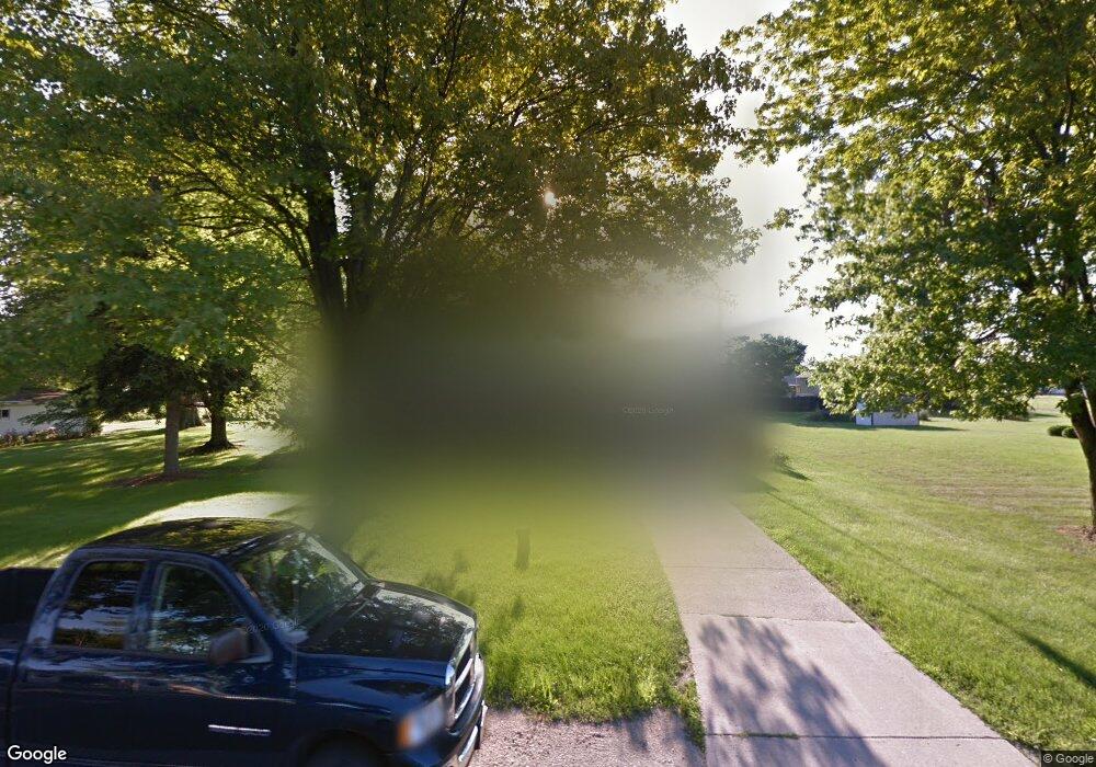
1677 Dier Rd Curtice, OH 43412
Estimated Value: $198,393 - $252,000
2
Beds
1
Bath
1,570
Sq Ft
$141/Sq Ft
Est. Value
About This Home
This home is located at 1677 Dier Rd, Curtice, OH 43412 and is currently estimated at $222,098, approximately $141 per square foot. 1677 Dier Rd is a home located in Lucas County.
Ownership History
Date
Name
Owned For
Owner Type
Purchase Details
Closed on
Apr 24, 1995
Sold by
Henning John E
Bought by
Henning John H and Henning Brenda J
Current Estimated Value
Home Financials for this Owner
Home Financials are based on the most recent Mortgage that was taken out on this home.
Original Mortgage
$65,050
Interest Rate
8.64%
Mortgage Type
New Conventional
Purchase Details
Closed on
Dec 3, 1992
Sold by
Kiss Mary M #
Purchase Details
Closed on
Mar 14, 1991
Sold by
Kiss R M and M M
Create a Home Valuation Report for This Property
The Home Valuation Report is an in-depth analysis detailing your home's value as well as a comparison with similar homes in the area
Purchase History
| Date | Buyer | Sale Price | Title Company |
|---|---|---|---|
| Henning John H | $68,500 | -- | |
| -- | $60,000 | -- | |
| -- | -- | -- |
Source: Public Records
Mortgage History
| Date | Status | Borrower | Loan Amount |
|---|---|---|---|
| Closed | Henning John H | $65,050 |
Source: Public Records
Tax History
| Year | Tax Paid | Tax Assessment Tax Assessment Total Assessment is a certain percentage of the fair market value that is determined by local assessors to be the total taxable value of land and additions on the property. | Land | Improvement |
|---|---|---|---|---|
| 2025 | -- | $59,850 | $6,510 | $53,340 |
| 2024 | $1,667 | $59,850 | $6,510 | $53,340 |
| 2023 | $3,546 | $53,340 | $6,300 | $47,040 |
| 2022 | $3,528 | $53,340 | $6,300 | $47,040 |
| 2021 | $3,547 | $53,340 | $6,300 | $47,040 |
| 2020 | $3,162 | $43,575 | $5,110 | $38,465 |
| 2019 | $3,017 | $43,575 | $5,110 | $38,465 |
| 2018 | $3,074 | $43,575 | $5,110 | $38,465 |
| 2017 | $3,204 | $43,890 | $5,145 | $38,745 |
| 2016 | $3,164 | $125,400 | $14,700 | $110,700 |
| 2015 | $3,145 | $125,400 | $14,700 | $110,700 |
| 2014 | $2,912 | $43,900 | $5,150 | $38,750 |
| 2013 | $2,912 | $43,900 | $5,150 | $38,750 |
Source: Public Records
Map
Nearby Homes
- 1626 Dier Rd
- 7105 N Curtice St
- 22771 W Toledo St
- 6927 N Wildacre Rd
- 22800 W Cedar Ave
- 22245 W Hollyhock Ln
- 7330 Jerusalem Rd
- 23284 W State Route 579
- 21224 W Toledo St
- 5531 Brown Rd
- 5837 Seaman Rd
- 5415 Seaman Rd
- 5914 Kacy Ln
- 5882 Kacy Ln
- 373 Jude Rd
- 5040 Easton Dr
- 5036 Easton Dr
- 5032 Easton Dr
- 5033 Easton Dr
- 5054 Magnolia Dr
- 1663 Dier Rd
- 1691 Dier Rd
- 1676 Cedar Brown Rd
- 1664 Cedar Brown Rd
- 1690 Cedar Brown Rd
- 1678 Dier Rd
- 1664 Dier Rd
- 1692 Dier Rd
- 1651 Dier Rd
- 1650 Cedar Brown Rd
- 1701 Dier Rd
- 1652 Dier Rd
- 1673 N Curtice Rd Unit S
- 1675 Cedar Brown Rd
- 1706 Dier Rd
- 1659 N Curtice Rd Unit S
- 1689 Cedar Brown Rd
- 1693 N Curtice Rd Unit S
- 1649 N Curtice Rd Unit S
- 7185 N Lake St
Your Personal Tour Guide
Ask me questions while you tour the home.