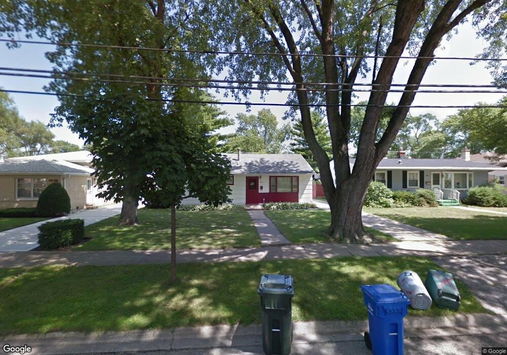
1677 Maple St Des Plaines, IL 60018
Estimated Value: $262,590 - $335,000
2
Beds
1
Bath
894
Sq Ft
$342/Sq Ft
Est. Value
About This Home
This home is located at 1677 Maple St, Des Plaines, IL 60018 and is currently estimated at $306,148, approximately $342 per square foot. 1677 Maple St is a home located in Cook County with nearby schools including South Elementary School, Algonquin Middle School, and Maine West High School.
Create a Home Valuation Report for This Property
The Home Valuation Report is an in-depth analysis detailing your home's value as well as a comparison with similar homes in the area
Home Values in the Area
Average Home Value in this Area
Tax History
| Year | Tax Paid | Tax Assessment Tax Assessment Total Assessment is a certain percentage of the fair market value that is determined by local assessors to be the total taxable value of land and additions on the property. | Land | Improvement |
|---|---|---|---|---|
| 2025 | $835 | $14,895 | $2,790 | $12,105 |
| 2024 | $835 | $10,729 | $2,325 | $8,404 |
| 2023 | $841 | $10,729 | $2,325 | $8,404 |
| 2022 | $841 | $10,729 | $2,325 | $8,404 |
| 2021 | $978 | $7,657 | $1,937 | $5,720 |
| 2020 | $1,270 | $7,657 | $1,937 | $5,720 |
| 2019 | $881 | $8,604 | $1,937 | $6,667 |
| 2018 | $981 | $8,800 | $1,705 | $7,095 |
| 2017 | $947 | $8,800 | $1,705 | $7,095 |
| 2016 | $1,244 | $8,800 | $1,705 | $7,095 |
| 2015 | $1,422 | $6,952 | $1,472 | $5,480 |
| 2014 | $1,677 | $6,952 | $1,472 | $5,480 |
| 2013 | $1,627 | $6,952 | $1,472 | $5,480 |
Source: Public Records
Map
Nearby Homes
- 1640 S River Rd
- 1721 Prospect Ave
- 1645 Illinois St
- 1990 Berry Ln
- 1700 E Forest Ave
- 1689 S Elm St
- 1696 S Elm St
- 1445 Everett Ave
- 1922 Fargo Ave
- 1630 Henry Ave
- 1561 E Walnut Ave
- 1370 Fargo Ave Unit E
- 2220 S Chestnut St
- 1638 Oakwood Ave
- 1080 Bogart St
- 700 Florence Dr
- 1649 Ashland Ave Unit 501
- 1524 Oakwood Ave
- 1641 E Touhy Ave
- 1629 E Touhy Ave
Your Personal Tour Guide
Ask me questions while you tour the home.