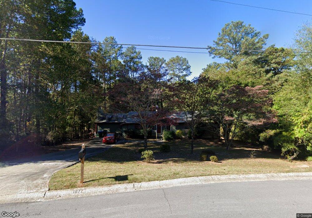
1677 Norton Estates Cir Unit 1 Snellville, GA 30078
Estimated Value: $365,000 - $412,000
3
Beds
2
Baths
1,824
Sq Ft
$210/Sq Ft
Est. Value
About This Home
This home is located at 1677 Norton Estates Cir Unit 1, Snellville, GA 30078 and is currently estimated at $383,911, approximately $210 per square foot. 1677 Norton Estates Cir Unit 1 is a home located in Gwinnett County with nearby schools including Brookwood Elementary School, Alton C. Crews Middle School, and Brookwood High School.
Ownership History
Date
Name
Owned For
Owner Type
Purchase Details
Closed on
Oct 29, 2004
Sold by
Sandberg Gary P and Sandberg Beverly
Bought by
Smith Shirley R
Current Estimated Value
Home Financials for this Owner
Home Financials are based on the most recent Mortgage that was taken out on this home.
Original Mortgage
$150,636
Outstanding Balance
$73,330
Interest Rate
5.62%
Mortgage Type
VA
Estimated Equity
$310,581
Create a Home Valuation Report for This Property
The Home Valuation Report is an in-depth analysis detailing your home's value as well as a comparison with similar homes in the area
Home Values in the Area
Average Home Value in this Area
Purchase History
| Date | Buyer | Sale Price | Title Company |
|---|---|---|---|
| Smith Shirley R | $153,000 | -- |
Source: Public Records
Mortgage History
| Date | Status | Borrower | Loan Amount |
|---|---|---|---|
| Open | Smith Shirley R | $150,636 |
Source: Public Records
Tax History Compared to Growth
Tax History
| Year | Tax Paid | Tax Assessment Tax Assessment Total Assessment is a certain percentage of the fair market value that is determined by local assessors to be the total taxable value of land and additions on the property. | Land | Improvement |
|---|---|---|---|---|
| 2025 | $1,524 | $169,480 | $22,200 | $147,280 |
| 2024 | $1,523 | $156,040 | $22,200 | $133,840 |
| 2023 | $1,523 | $158,800 | $24,800 | $134,000 |
| 2022 | $4,028 | $124,040 | $23,200 | $100,840 |
| 2021 | $906 | $90,200 | $14,800 | $75,400 |
| 2020 | $904 | $90,200 | $14,800 | $75,400 |
| 2019 | $840 | $79,720 | $14,800 | $64,920 |
| 2018 | $822 | $75,520 | $11,600 | $63,920 |
| 2016 | $862 | $63,280 | $11,600 | $51,680 |
| 2015 | $877 | $57,880 | $8,800 | $49,080 |
| 2014 | -- | $40,680 | $8,000 | $32,680 |
Source: Public Records
Map
Nearby Homes
- 3063 Bruckner Blvd
- 1686 Norton Estates Dr
- 1845 Lisa Springs Dr
- 1953 Watson Park Dr
- 1750 Manor Brook Way
- 3207 Aspen Cir SW
- 3173 Falconhurst Dr SW
- Kenwood Plan at Watson Park
- Stockbridge Plan at Watson Park
- Aiken Plan at Watson Park
- Lawrence Plan at Watson Park
- Easton Plan at Watson Park
- 1220 Edgebrook Ln
- 1809 Mornington Ln
- 1916 Oakwood Grove Dr Unit 1
- 3075 Oak Meadow Dr
- 2691 Holly Springs Dr
- 1526 Lechemin Dr
- 1937 Crescent Dr
- 1673 Norton Estates Cir Unit 1
- 3003 Fireside Dr Unit 3
- 1669 Norton Estates Cir
- 3013 Fireside Dr Unit 9
- 3013 Fireside Dr Unit 3
- 1685 Norton Estates Cir
- 1670 Norton Estates Cir Unit 1
- 1680 Norton Estates Cir
- 3024 Fireside Dr Unit 3
- 3024 Fireside Dr SW
- 3023 Fireside Dr SW
- 1665 Norton Estates Cir Unit 1
- 1689 Norton Estates Cir
- 1576 Ember Cir SW
- 1576 Ember Cir
- 1684 Norton Estates Cir
- 1586 Ember Cir Unit 2
- 1660 Norton Estates Cir Unit 1
- 0 Fireside Dr SW Unit 8349657
- 0 Fireside Dr SW Unit 8196547