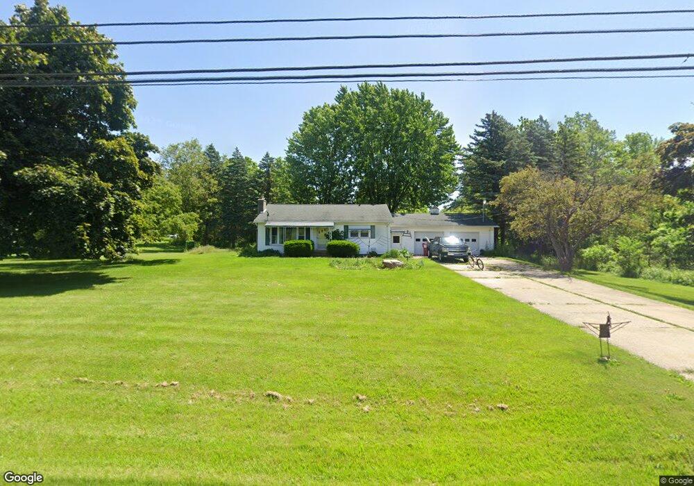
1677 S Chipman St Owosso, MI 48867
Estimated Value: $207,174 - $251,000
--
Bed
--
Bath
--
Sq Ft
4.6
Acres
About This Home
This home is located at 1677 S Chipman St, Owosso, MI 48867 and is currently estimated at $228,391. 1677 S Chipman St is a home with nearby schools including Owosso High School, Salem Lutheran School, and Owosso Christian School.
Ownership History
Date
Name
Owned For
Owner Type
Purchase Details
Closed on
Nov 22, 2017
Sold by
Burke Trenton R and Burke Alicia
Bought by
Cobley Ryan
Current Estimated Value
Purchase Details
Closed on
Apr 21, 2017
Sold by
Burke Trenton and Burke Trenton R
Bought by
Burke Trenton R and Burke Alicia N
Home Financials for this Owner
Home Financials are based on the most recent Mortgage that was taken out on this home.
Original Mortgage
$88,045
Interest Rate
3.75%
Mortgage Type
FHA
Purchase Details
Closed on
Apr 9, 2015
Sold by
Burke Alicia and Burke Trenton
Bought by
Burke Alicia and Burke Trenton
Create a Home Valuation Report for This Property
The Home Valuation Report is an in-depth analysis detailing your home's value as well as a comparison with similar homes in the area
Home Values in the Area
Average Home Value in this Area
Purchase History
| Date | Buyer | Sale Price | Title Company |
|---|---|---|---|
| Cobley Ryan | $125,000 | -- | |
| Burke Trenton R | -- | None Available | |
| Burke Alicia | -- | None Available |
Source: Public Records
Mortgage History
| Date | Status | Borrower | Loan Amount |
|---|---|---|---|
| Previous Owner | Burke Trenton R | $88,045 |
Source: Public Records
Tax History Compared to Growth
Tax History
| Year | Tax Paid | Tax Assessment Tax Assessment Total Assessment is a certain percentage of the fair market value that is determined by local assessors to be the total taxable value of land and additions on the property. | Land | Improvement |
|---|---|---|---|---|
| 2025 | $1,963 | $93,100 | $0 | $0 |
| 2024 | $2,333 | $90,000 | $0 | $0 |
| 2023 | $725 | $85,300 | $0 | $0 |
| 2022 | $691 | $78,100 | $0 | $0 |
| 2021 | $1,751 | $66,400 | $0 | $0 |
| 2020 | $1,963 | $60,100 | $0 | $0 |
| 2019 | $1,717 | $55,700 | $0 | $0 |
| 2018 | $1,853 | $51,800 | $0 | $0 |
| 2017 | $1,186 | $49,800 | $0 | $0 |
| 2016 | -- | $49,800 | $0 | $0 |
| 2015 | -- | $47,200 | $0 | $0 |
| 2014 | $6 | $44,000 | $0 | $0 |
Source: Public Records
Map
Nearby Homes
- 1560 S M 52
- 1627 Michigan 52
- 1510 S Chipman St
- V/L W South St
- 1610 W South St
- 1434 S Pearce St
- 1300 S Pearce St
- 539 W Wildwood Dr
- 1046 S Pearce St
- 810 Grace St
- 982 S Chestnut St
- 1318 W Stewart St
- 1701 W Stewart St
- Vacant Ash St
- 717 Nafus St
- 606 Ryan St
- 821 Fletcher St
- 2419 S Morrice Rd
- 209 W Stewart St
- 942 Division St
- 1665 S Morrice Rd
- 1 S Morrice Rd
- 1709 S Morrice Rd
- 1647 S Morrice Rd
- V/L #1 S Morrice Rd
- 1551 S Morrice Rd
- 1741 S Morrice Rd
- 1741 S Morrice Rd
- 1741 S Morrice Rd
- 1606 S M 52
- 1530 S M 52
- 1604 S M 52 Unit SS
- 1538 S M 52
- 1538 S M 52
- 1539 S Chipman St
- 1539 S Morrice Rd
- 1304 S M 52
- 1200 Penbrook Dr
- 1005 W South St
- 1510 Michigan 52