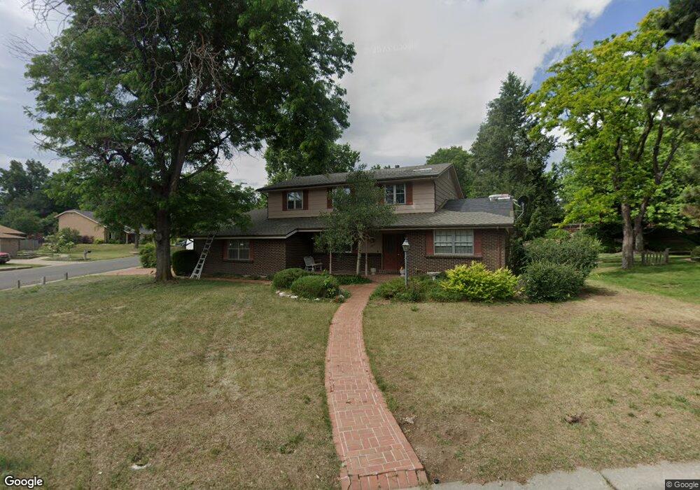
1677 S Robb Way Denver, CO 80232
Green Mountain NeighborhoodEstimated Value: $652,000 - $762,000
3
Beds
5
Baths
2,201
Sq Ft
$317/Sq Ft
Est. Value
About This Home
This home is located at 1677 S Robb Way, Denver, CO 80232 and is currently estimated at $697,667, approximately $316 per square foot. 1677 S Robb Way is a home located in Jefferson County with nearby schools including Kendrick Lakes Elementary School, Carmody Middle School, and Bear Creek High School.
Ownership History
Date
Name
Owned For
Owner Type
Purchase Details
Closed on
Aug 27, 2007
Sold by
Pulse Richard R and Pulse Willa J
Bought by
The Pulse Family Trust
Current Estimated Value
Create a Home Valuation Report for This Property
The Home Valuation Report is an in-depth analysis detailing your home's value as well as a comparison with similar homes in the area
Home Values in the Area
Average Home Value in this Area
Purchase History
| Date | Buyer | Sale Price | Title Company |
|---|---|---|---|
| The Pulse Family Trust | -- | None Available |
Source: Public Records
Tax History Compared to Growth
Tax History
| Year | Tax Paid | Tax Assessment Tax Assessment Total Assessment is a certain percentage of the fair market value that is determined by local assessors to be the total taxable value of land and additions on the property. | Land | Improvement |
|---|---|---|---|---|
| 2024 | $3,462 | $41,669 | $19,710 | $21,959 |
| 2023 | $3,462 | $41,669 | $19,710 | $21,959 |
| 2022 | $2,761 | $34,288 | $13,357 | $20,931 |
| 2021 | $2,796 | $35,274 | $13,741 | $21,533 |
| 2020 | $2,461 | $31,944 | $12,098 | $19,846 |
| 2019 | $2,431 | $31,944 | $12,098 | $19,846 |
| 2018 | $2,099 | $27,848 | $8,026 | $19,822 |
| 2017 | $1,918 | $27,848 | $8,026 | $19,822 |
| 2016 | $1,807 | $26,699 | $7,754 | $18,945 |
| 2015 | $1,634 | $26,699 | $7,754 | $18,945 |
| 2014 | $1,634 | $23,853 | $6,325 | $17,528 |
Source: Public Records
Map
Nearby Homes
- 1822 S Robb St
- 1577 S Pierson St
- 1865 S Union Blvd
- 1847 S Union Blvd Unit 36
- 1454 S Urban Way
- 1901 S Union Place
- 1537 S Owens St Unit 31
- 1799 S Van Gordon Ct
- 1474 S Pierson St Unit 65
- 1517 S Owens St Unit 5
- 11165 W Asbury Ave
- 10910 W Florida Ave Unit 502
- 11452 W Louisiana Ave
- 10960 W Florida Ave Unit 104
- 1501 S Welch Cir
- 1425 S Welch Cir
- 2154 S Parfet Dr
- 12116 W Texas Dr
- 2064 S Robb Way
- 10473 W Arkansas Dr
- 1667 S Robb Way
- 1733 S Robb St
- 1683 S Robb St
- 1717 S Robb Way
- 1722 S Robb St
- 1714 S Routt Way
- 1657 S Robb Way
- 1724 S Routt Way
- 1732 S Robb St
- 1682 S Robb St
- 1704 S Routt Way
- 1673 S Robb St
- 1743 S Robb St
- 1647 S Robb Way
- 1715 S Queen Way
- 1742 S Robb St
- 1725 S Queen Way
- 1672 S Robb St
- 1735 S Queen Way
- 1674 S Routt Way