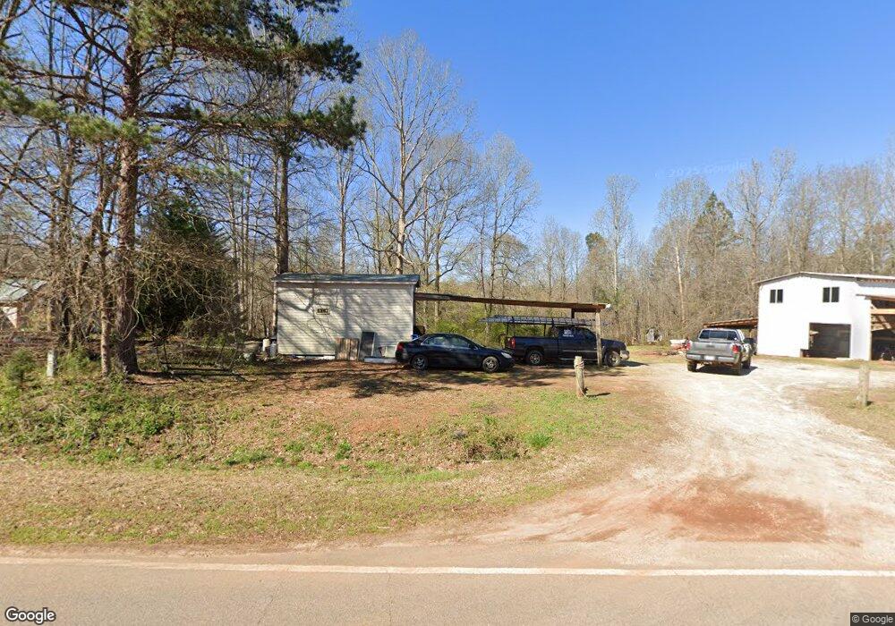
1678 Sims Bridge Rd Commerce, GA 30530
Estimated Value: $92,398 - $215,000
1
Bed
1
Bath
330
Sq Ft
$514/Sq Ft
Est. Value
About This Home
This home is located at 1678 Sims Bridge Rd, Commerce, GA 30530 and is currently estimated at $169,466, approximately $513 per square foot. 1678 Sims Bridge Rd is a home with nearby schools including Banks County Primary School, Banks County Elementary School, and Banks County Middle School.
Ownership History
Date
Name
Owned For
Owner Type
Purchase Details
Closed on
Apr 12, 2021
Sold by
Montgomery Shirley Williams
Bought by
Levigne Stanley
Current Estimated Value
Purchase Details
Closed on
Oct 6, 2015
Sold by
Erickson Frances M
Bought by
Montgomery Shirley and Montgomery Eugene
Create a Home Valuation Report for This Property
The Home Valuation Report is an in-depth analysis detailing your home's value as well as a comparison with similar homes in the area
Home Values in the Area
Average Home Value in this Area
Purchase History
| Date | Buyer | Sale Price | Title Company |
|---|---|---|---|
| Levigne Stanley | $18,000 | -- | |
| Montgomery Shirley | -- | -- |
Source: Public Records
Tax History
| Year | Tax Paid | Tax Assessment Tax Assessment Total Assessment is a certain percentage of the fair market value that is determined by local assessors to be the total taxable value of land and additions on the property. | Land | Improvement |
|---|---|---|---|---|
| 2025 | $671 | $35,139 | $17,624 | $17,515 |
| 2024 | $671 | $32,979 | $16,021 | $16,958 |
| 2023 | $650 | $24,988 | $13,292 | $11,696 |
| 2022 | $468 | $22,271 | $12,320 | $9,951 |
| 2021 | $388 | $17,365 | $8,302 | $9,063 |
| 2020 | $363 | $15,850 | $7,395 | $8,455 |
| 2019 | $170 | $7,395 | $7,395 | $0 |
| 2018 | $133 | $5,688 | $5,688 | $0 |
| 2017 | $121 | $4,946 | $4,946 | $0 |
| 2016 | $124 | $4,946 | $4,946 | $0 |
| 2015 | -- | $18,644 | $4,946 | $13,698 |
| 2014 | -- | $19,074 | $5,376 | $13,698 |
| 2013 | -- | $19,074 | $5,376 | $13,698 |
Source: Public Records
Map
Nearby Homes
- 163 M t Trail
- 224 Hebron Rd
- 166 Freedom Ln
- 0 Freedom Ln Unit 9B
- 0 Freedom Ln Unit 18C 10380663
- 0 Freedom Ln Unit 9D
- 0 Freedom Ln Unit 9C
- 0 Freedom Ln Unit 18B 10379747
- 0 Freedom Ln Unit 9E
- 731 Borders Rd
- 0 Lord Road Tract #5 Unit 10693839
- 0 Lord Road Tract #5 Unit CL349237
- 21 Jess Ln
- 161 Meadow Lake Dr
- 193 Wrights Mill Ln
- 482 Hooper Rd
- 333 Sims Bridge Rd
- 3381 Georgia 326
- 119 Gordon Rd
- 7527 Highway 326
- 1649 Sims Bridge Rd
- 1689 Sims Bridge Rd
- 1715 Sims Bridge Rd
- 125 Ambers Ln
- 125 Amber Ln
- 669 Duncan Rd
- 1590 Sims Bridge Rd
- 728 Duncan Rd
- 757 Duncan Rd
- 653 Duncan Rd
- 653 Duncan Rd
- 732 Duncan Rd
- 175 Amber Ln NW
- 779 Duncan Rd
- 1601 Sims Bridge Rd
- 207 Ambers Ln
- 136 Ladd Dr
- 711 Highway 63
- 241 Ambers Ln
- 1582 Sims Bridge Rd
Your Personal Tour Guide
Ask me questions while you tour the home.