168 Brookfield Ln Agawam, MA 01001
Estimated Value: $360,071 - $380,000
3
Beds
2
Baths
1,418
Sq Ft
$261/Sq Ft
Est. Value
About This Home
This home is located at 168 Brookfield Ln, Agawam, MA 01001 and is currently estimated at $370,268, approximately $261 per square foot. 168 Brookfield Ln is a home located in Hampden County with nearby schools including Agawam Junior High School, Agawam High School, and Suffield Academy.
Ownership History
Date
Name
Owned For
Owner Type
Purchase Details
Closed on
Jun 8, 2010
Sold by
Ricardi Aprile R
Bought by
Pratt Ann E
Current Estimated Value
Home Financials for this Owner
Home Financials are based on the most recent Mortgage that was taken out on this home.
Original Mortgage
$194,400
Outstanding Balance
$131,242
Interest Rate
5.12%
Mortgage Type
Purchase Money Mortgage
Estimated Equity
$239,026
Purchase Details
Closed on
Aug 29, 2006
Sold by
Cat Dev Llc
Bought by
Ricardi Aprile R
Home Financials for this Owner
Home Financials are based on the most recent Mortgage that was taken out on this home.
Original Mortgage
$183,920
Interest Rate
6.83%
Mortgage Type
Purchase Money Mortgage
Create a Home Valuation Report for This Property
The Home Valuation Report is an in-depth analysis detailing your home's value as well as a comparison with similar homes in the area
Home Values in the Area
Average Home Value in this Area
Purchase History
| Date | Buyer | Sale Price | Title Company |
|---|---|---|---|
| Pratt Ann E | $243,000 | -- | |
| Ricardi Aprile R | $229,900 | -- |
Source: Public Records
Mortgage History
| Date | Status | Borrower | Loan Amount |
|---|---|---|---|
| Open | Pratt Ann E | $194,400 | |
| Previous Owner | Ricardi Aprile R | $183,920 | |
| Previous Owner | Ricardi Aprile R | $34,485 |
Source: Public Records
Tax History Compared to Growth
Tax History
| Year | Tax Paid | Tax Assessment Tax Assessment Total Assessment is a certain percentage of the fair market value that is determined by local assessors to be the total taxable value of land and additions on the property. | Land | Improvement |
|---|---|---|---|---|
| 2025 | $4,585 | $313,200 | $0 | $313,200 |
| 2024 | $4,608 | $316,900 | $0 | $316,900 |
| 2023 | $4,440 | $281,400 | $0 | $281,400 |
| 2022 | $4,374 | $271,500 | $0 | $271,500 |
| 2021 | $3,834 | $228,200 | $0 | $228,200 |
| 2020 | $3,773 | $224,200 | $0 | $224,200 |
| 2019 | $3,648 | $219,100 | $0 | $219,100 |
| 2018 | $3,540 | $213,100 | $0 | $213,100 |
| 2017 | $3,389 | $207,800 | $0 | $207,800 |
| 2016 | $3,362 | $207,800 | $0 | $207,800 |
| 2015 | $3,315 | $210,600 | $0 | $210,600 |
Source: Public Records
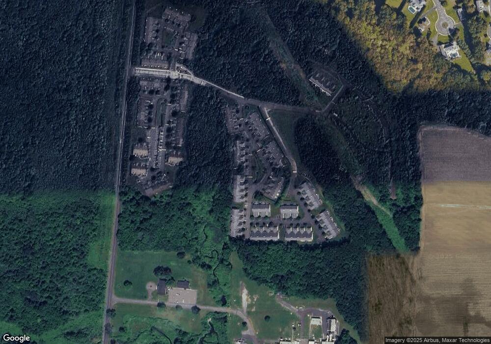
Map
Nearby Homes
- 128 Brookfield Ln
- 48 Cosgrove Ave
- 0 Hickory St Unit 24099336
- 47 Butternut Dr
- 36 Cottonwood Ln
- 511 Shoemaker Ln
- 15 B Castle Hills Rd Unit B
- Lot 54 North St
- 13 Castle Hills Rd Unit B
- 1 Meadow Wood Dr
- 6 Castle Hill Rd Unit E
- 441 Silver St
- 7 Castle Hill Rd Unit G
- 4H Mapleviewlane Unit 4H
- 35 Birch Hill Rd
- 0 Silver St
- 68 Peros Dr
- 73 Silver Lake Dr
- 52 Peros Dr
- Lot 114 Bark Haul Rd
- 162 Brookfield Ln
- 165 Brookfield Ln
- 169 Brookfield Ln
- 167 Brookfield Ln
- 166 Brookfield Ln
- 164 Brookfield Ln
- 163 Brookfield Ln
- 169 Brookfield Ln Unit 169
- 164 Brookfield Ln Unit 164
- 162 Brookfield Ln Unit 162
- 168 Brookfield Ln Unit 168
- 145 Brookfield Ln
- 144 Brookfield Ln
- 142 Brookfield Ln
- 141 Brookfield Ln
- 141 Brookfield Ln Unit 141,19
- 175 Brookfield Ln
- 173 Brookfield Ln
- 176 Brookfield Ln
- 174 Brookfield Ln