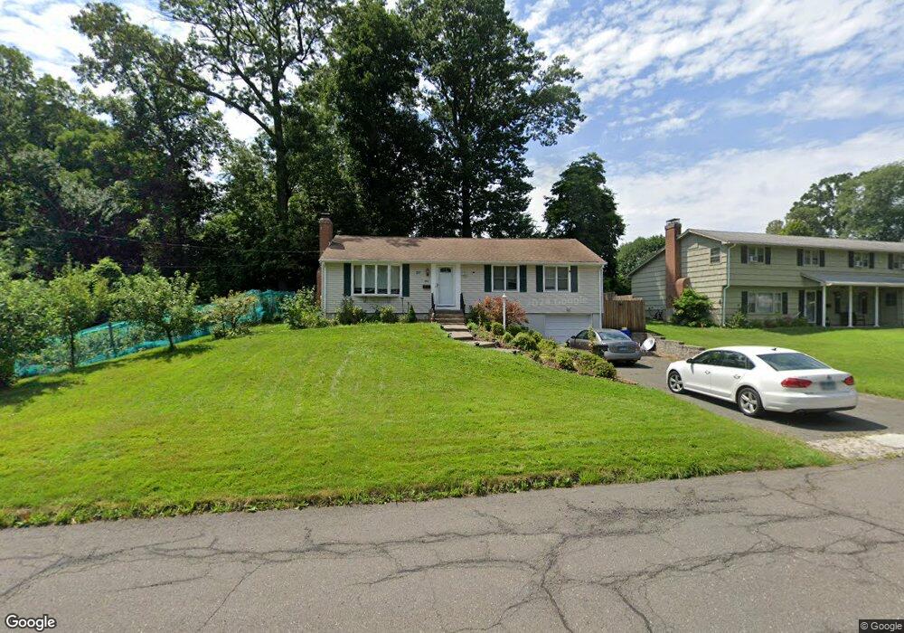
168 Brookside Rd Newington, CT 06111
Estimated Value: $322,000 - $362,000
3
Beds
2
Baths
1,132
Sq Ft
$304/Sq Ft
Est. Value
About This Home
This home is located at 168 Brookside Rd, Newington, CT 06111 and is currently estimated at $344,547, approximately $304 per square foot. 168 Brookside Rd is a home located in Hartford County with nearby schools including Elizabeth Green School, Martin Kellogg Middle School, and Newington High School.
Ownership History
Date
Name
Owned For
Owner Type
Purchase Details
Closed on
Nov 4, 2009
Sold by
Us Bank Na Tr
Bought by
Bankowski Marek A and Bankowska Boguslawa
Current Estimated Value
Home Financials for this Owner
Home Financials are based on the most recent Mortgage that was taken out on this home.
Original Mortgage
$145,300
Interest Rate
5.06%
Purchase Details
Closed on
Aug 25, 2008
Sold by
Steele Daniel P
Bought by
Us Bank Na
Purchase Details
Closed on
Apr 9, 1997
Sold by
Chapman Keith H and Chapman Christone A
Bought by
Rivera Maximino A and Rivera Maria S
Create a Home Valuation Report for This Property
The Home Valuation Report is an in-depth analysis detailing your home's value as well as a comparison with similar homes in the area
Home Values in the Area
Average Home Value in this Area
Purchase History
| Date | Buyer | Sale Price | Title Company |
|---|---|---|---|
| Bankowski Marek A | $176,000 | -- | |
| Us Bank Na | -- | -- | |
| Rivera Maximino A | $135,000 | -- |
Source: Public Records
Mortgage History
| Date | Status | Borrower | Loan Amount |
|---|---|---|---|
| Open | Rivera Maximino A | $147,000 | |
| Closed | Rivera Maximino A | $145,300 | |
| Previous Owner | Rivera Maximino A | $123,700 |
Source: Public Records
Tax History
| Year | Tax Paid | Tax Assessment Tax Assessment Total Assessment is a certain percentage of the fair market value that is determined by local assessors to be the total taxable value of land and additions on the property. | Land | Improvement |
|---|---|---|---|---|
| 2025 | $5,471 | $136,840 | $55,440 | $81,400 |
| 2024 | $5,428 | $136,840 | $55,440 | $81,400 |
| 2023 | $5,249 | $136,840 | $55,440 | $81,400 |
| 2022 | $5,267 | $136,840 | $55,440 | $81,400 |
| 2021 | $5,311 | $136,840 | $55,440 | $81,400 |
| 2020 | $5,180 | $131,880 | $51,970 | $79,910 |
| 2019 | $5,203 | $131,880 | $51,970 | $79,910 |
| 2018 | $5,077 | $131,880 | $51,970 | $79,910 |
| 2017 | $4,825 | $131,880 | $51,970 | $79,910 |
| 2016 | $4,715 | $131,880 | $51,970 | $79,910 |
| 2014 | $4,360 | $125,390 | $52,280 | $73,110 |
Source: Public Records
Map
Nearby Homes
- 76 Main St
- 138 Williamstown Ct Unit 138
- 134 Williamstown Ct Unit 134
- 32 Garvan St
- 161 Abbotsford Ave
- 46 Piper Brook Ave
- 79 Piper Brook Ave
- 149 Moylan Ct
- 43 Marion St
- 50 Hillcrest Ave
- 104 Hollywood Ave
- 22 Stafford St
- 24 Millbrook Ct Unit 24 Millbrook Ct Newi
- 14 Coolidge Ave
- 140 Camp Ave
- 27 Burgoyne St Unit E
- 5 Brinley Ave
- 25 Lewis Ln
- 26 Schoolhouse Dr Unit 308
- 49 Park Place Cir Unit 49
- 178 Brookside Rd
- 158 Brookside Rd
- 87 Brace Rd
- 186 Brookside Rd
- 91 Brace Rd
- 81 Brace Rd
- 152 Brookside Rd
- 175 Brookside Rd
- 192 Brookside Rd
- 159 Brookside Rd
- 167 Brookside Rd
- 153 Brookside Rd
- 95 Brace Rd
- 146 Brookside Rd
- 198 Brookside Rd
- 77 Brace Rd
- 185 Brookside Rd
- 147 Brookside Rd
- 140 Brookside Rd
- 101 Brace Rd
Your Personal Tour Guide
Ask me questions while you tour the home.