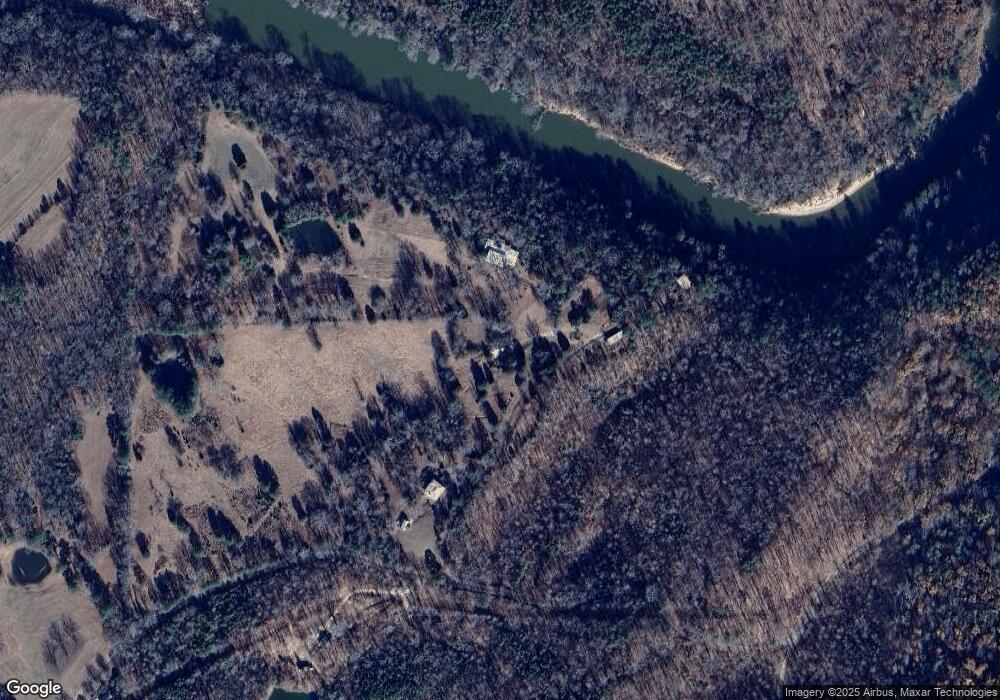
168 Brower Patch Dr Hayden, AL 35079
Estimated Value: $231,000 - $367,341
--
Bed
--
Bath
1,230
Sq Ft
$236/Sq Ft
Est. Value
About This Home
This home is located at 168 Brower Patch Dr, Hayden, AL 35079 and is currently estimated at $289,835, approximately $235 per square foot. 168 Brower Patch Dr is a home with nearby schools including Hayden Primary School, Hayden Elementary School, and Hayden Middle School.
Ownership History
Date
Name
Owned For
Owner Type
Purchase Details
Closed on
Feb 8, 2018
Sold by
Brower William J
Bought by
Brower William J and Brower Susan H
Current Estimated Value
Purchase Details
Closed on
Dec 21, 2012
Sold by
Brower Carl T
Bought by
Brower Frank and Brower Robin
Create a Home Valuation Report for This Property
The Home Valuation Report is an in-depth analysis detailing your home's value as well as a comparison with similar homes in the area
Home Values in the Area
Average Home Value in this Area
Purchase History
| Date | Buyer | Sale Price | Title Company |
|---|---|---|---|
| Brower William J | -- | -- | |
| Brower Frank | $500 | -- |
Source: Public Records
Tax History Compared to Growth
Tax History
| Year | Tax Paid | Tax Assessment Tax Assessment Total Assessment is a certain percentage of the fair market value that is determined by local assessors to be the total taxable value of land and additions on the property. | Land | Improvement |
|---|---|---|---|---|
| 2024 | $512 | $22,220 | $4,600 | $17,620 |
| 2023 | $728 | $14,940 | $4,360 | $10,580 |
| 2022 | $0 | $13,200 | $4,300 | $8,900 |
| 2021 | $248 | $11,700 | $4,140 | $7,560 |
| 2020 | $248 | $11,080 | $4,080 | $7,000 |
| 2019 | $364 | $11,020 | $4,020 | $7,000 |
| 2018 | $349 | $10,560 | $4,000 | $6,560 |
| 2017 | $306 | $9,220 | $0 | $0 |
| 2015 | $303 | $9,140 | $0 | $0 |
| 2014 | $301 | $9,080 | $0 | $0 |
| 2013 | -- | $14,800 | $0 | $0 |
Source: Public Records
Map
Nearby Homes
- 88 Church St
- 4980 Cox Cove Rd
- 617 County Road 514
- 255 Fieldcrest Dr Unit Lot 5
- 0 Fieldcrest Dr Unit Lot 6 21408632
- 353 Cox Cove Rd Unit 11
- 802 Holt Cir
- 492 Holt Cir
- 364 Holt Cir
- 2511 Graves Gap Rd
- 575 Guinns Cove Rd
- 8424 US Highway 31
- 00 Highway 9
- 3299 Graves Gap Rd
- 630 County Road 503
- 750 Co Rd 503
- 770 Co Rd 503
- 3705 Graves Gap Rd
- 150 Teal Dr
- 250 Runway Dr
- 240 Brower Patch Dr
- 45 Brower Patch Dr
- 961 Philpot Rd
- 1391 Philpot Rd
- 241 County Road 510
- 305 County Road 510
- 1484 Philpot Rd
- 1484 Philpot Rd
- 697 White Water Dr
- 1601 Philpot Rd
- 1601 Philpot Rd
- 1601 Philpot Rd Unit 40
- 531 White Water Dr
- 265 White Water Dr
- 485 White Water Dr
- 500 Philpot Rd
- 682 Whitewater Dr
- 682 White Water Dr
- 2080 County Road 509
- 556 White Water Dr
