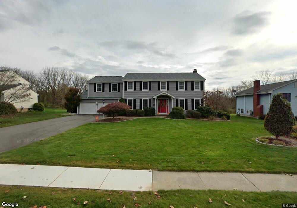
168 Debbie Dr South Windsor, CT 06074
Estimated Value: $429,000 - $672,000
4
Beds
4
Baths
2,712
Sq Ft
$221/Sq Ft
Est. Value
About This Home
This home is located at 168 Debbie Dr, South Windsor, CT 06074 and is currently estimated at $598,987, approximately $220 per square foot. 168 Debbie Dr is a home located in Hartford County with nearby schools including Timothy Edwards School and South Windsor High School.
Ownership History
Date
Name
Owned For
Owner Type
Purchase Details
Closed on
Apr 19, 2024
Sold by
Alford Karen
Bought by
Romero Ricardo and Romero Wanda
Current Estimated Value
Home Financials for this Owner
Home Financials are based on the most recent Mortgage that was taken out on this home.
Original Mortgage
$315,425
Outstanding Balance
$310,761
Interest Rate
7.25%
Mortgage Type
FHA
Estimated Equity
$288,226
Create a Home Valuation Report for This Property
The Home Valuation Report is an in-depth analysis detailing your home's value as well as a comparison with similar homes in the area
Home Values in the Area
Average Home Value in this Area
Purchase History
| Date | Buyer | Sale Price | Title Company |
|---|---|---|---|
| Romero Ricardo | $390,000 | None Available | |
| Romero Ricardo | $390,000 | None Available |
Source: Public Records
Mortgage History
| Date | Status | Borrower | Loan Amount |
|---|---|---|---|
| Open | Romero Ricardo | $315,425 | |
| Closed | Romero Ricardo | $315,425 |
Source: Public Records
Tax History Compared to Growth
Tax History
| Year | Tax Paid | Tax Assessment Tax Assessment Total Assessment is a certain percentage of the fair market value that is determined by local assessors to be the total taxable value of land and additions on the property. | Land | Improvement |
|---|---|---|---|---|
| 2025 | $12,186 | $342,200 | $116,100 | $226,100 |
| 2024 | $11,792 | $342,200 | $116,100 | $226,100 |
| 2023 | $11,341 | $342,200 | $116,100 | $226,100 |
| 2022 | $10,255 | $264,500 | $106,900 | $157,600 |
| 2021 | $10,014 | $264,500 | $106,900 | $157,600 |
| 2020 | $10,019 | $264,500 | $106,900 | $157,600 |
| 2019 | $10,183 | $264,500 | $106,900 | $157,600 |
| 2018 | $9,964 | $264,500 | $106,900 | $157,600 |
| 2017 | $9,828 | $258,100 | $106,900 | $151,200 |
| 2016 | $9,637 | $258,100 | $106,900 | $151,200 |
| 2015 | $9,431 | $258,100 | $106,900 | $151,200 |
| 2014 | $9,165 | $258,100 | $106,900 | $151,200 |
Source: Public Records
Map
Nearby Homes
- 155 New Marker Rd
- 29 Shady Brook Ln Unit 29
- 25 Oakview Place
- 721 Dart Hill Rd
- 565 Talcottville Rd Unit 1C4
- 18 Hayes Ave
- 343 Merline Rd
- 4 Loveland Hill Rd Unit C4
- 201 Regan Rd Unit 2B
- 2773 Ellington Rd
- 1 Abbott Rd Unit 85
- 1 Abbott Rd Unit 101
- 14 Pinney St Unit 24
- 2719 Ellington Rd
- 242 Talcottville Rd Unit 105
- 33 Sunset Terrace
- 113 Regan Rd
- 68 Kent Ln
- 60 Old Town Rd Unit 24
- 60 Old Town Rd Unit 143