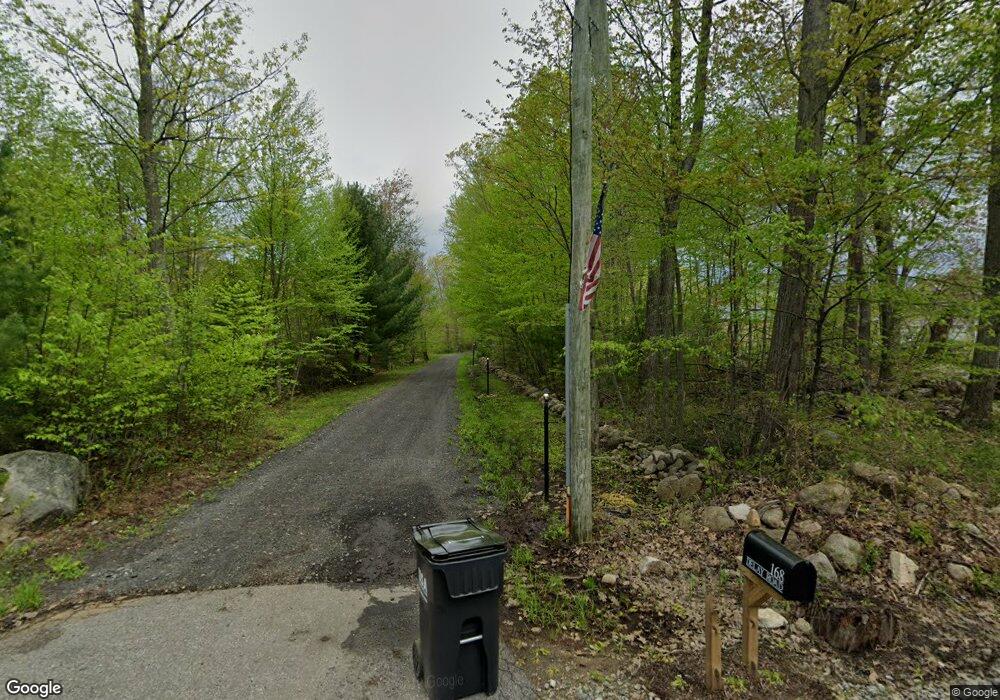
168 Delay Rd Harwinton, CT 06791
Estimated Value: $528,000
3
Beds
2
Baths
2,213
Sq Ft
$239/Sq Ft
Est. Value
About This Home
This home is located at 168 Delay Rd, Harwinton, CT 06791 and is currently priced at $528,000, approximately $238 per square foot. 168 Delay Rd is a home with nearby schools including Harwinton Consolidated School, Har-Bur Middle School, and Lewis S. Mills High School.
Create a Home Valuation Report for This Property
The Home Valuation Report is an in-depth analysis detailing your home's value as well as a comparison with similar homes in the area
Home Values in the Area
Average Home Value in this Area
Tax History
| Year | Tax Paid | Tax Assessment Tax Assessment Total Assessment is a certain percentage of the fair market value that is determined by local assessors to be the total taxable value of land and additions on the property. | Land | Improvement |
|---|---|---|---|---|
| 2025 | $8,979 | $390,410 | $96,050 | $294,360 |
| 2024 | $8,940 | $390,410 | $96,050 | $294,360 |
| 2023 | $9,146 | $313,220 | $70,470 | $242,750 |
| 2022 | $8,927 | $313,220 | $70,470 | $242,750 |
| 2021 | $8,989 | $313,220 | $70,470 | $242,750 |
| 2020 | $8,770 | $313,220 | $70,470 | $242,750 |
| 2019 | $8,770 | $313,220 | $70,470 | $242,750 |
| 2018 | $2,379 | $84,970 | $84,970 | $0 |
| 2017 | $2,362 | $84,970 | $84,970 | $0 |
| 2016 | $2,362 | $84,970 | $84,970 | $0 |
| 2015 | $2,320 | $84,970 | $84,970 | $0 |
| 2014 | $2,286 | $84,970 | $84,970 | $0 |
Source: Public Records
Map
Nearby Homes
- Lot 2 Birch Hill Rd
- 544 Litchfield Rd
- 184 Campville Hill Rd
- 21 South Rd
- 67 E Litchfield Rd S
- 164 Birge Park Rd
- 151 Highview Dr
- 0 Decker Dr Unit 24148478
- 68 Thomaston Rd
- 604 Wildcat Hill Rd
- 0 Reder Rd Unit 24133780
- 32 Ridgewood Dr
- 336 Oak Ave
- 7 Wilson Pond Rd
- 14 Hannah Way
- 65 Oak Meadow Ln Unit 65
- 23 Hannah Way
- 390 Park Ave
- 199 Mckinley St
- 323 Highfield Dr
Your Personal Tour Guide
Ask me questions while you tour the home.