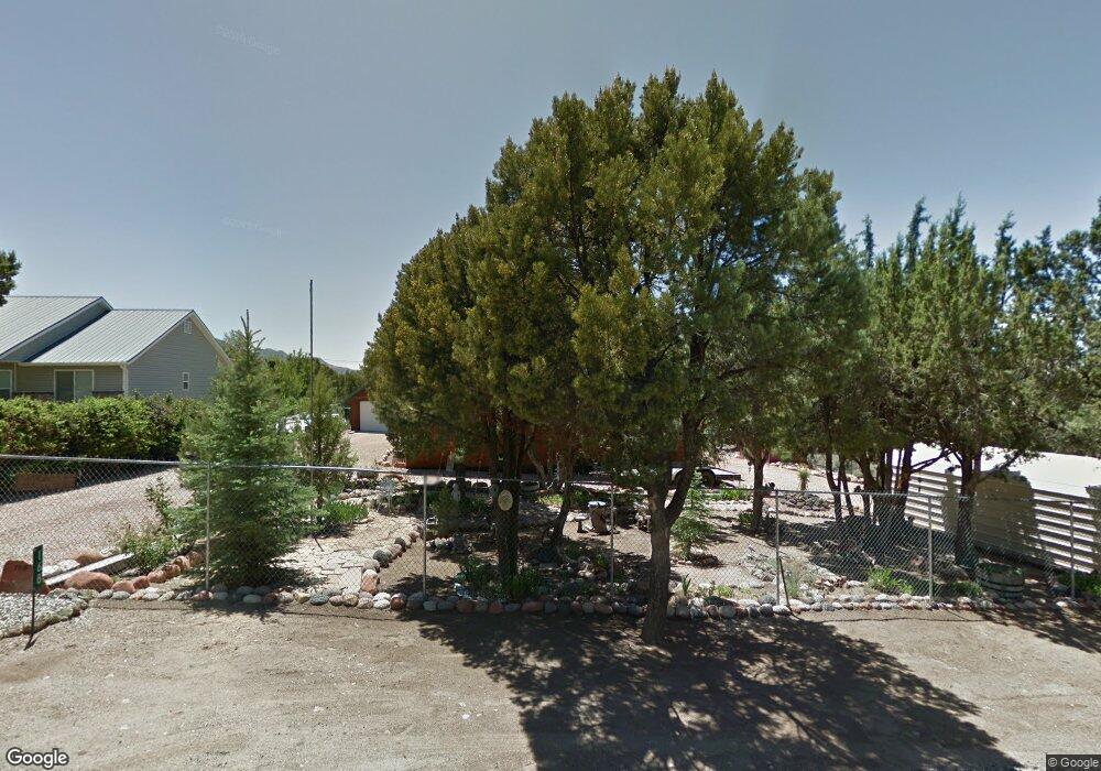
168 E Sumac Dr Central, UT 84722
Estimated Value: $354,000 - $434,000
3
Beds
2
Baths
1,454
Sq Ft
$275/Sq Ft
Est. Value
About This Home
This home is located at 168 E Sumac Dr, Central, UT 84722 and is currently estimated at $399,571, approximately $274 per square foot. 168 E Sumac Dr is a home located in Washington County with nearby schools including Enterprise School and Enterprise High School.
Ownership History
Date
Name
Owned For
Owner Type
Purchase Details
Closed on
Dec 14, 2018
Sold by
Kirk Bill J and Kirk Edyth Ethel
Bought by
Donatello John F
Current Estimated Value
Home Financials for this Owner
Home Financials are based on the most recent Mortgage that was taken out on this home.
Original Mortgage
$221,900
Outstanding Balance
$195,499
Interest Rate
4.8%
Mortgage Type
VA
Estimated Equity
$204,072
Purchase Details
Closed on
Jul 6, 2012
Sold by
Kirk Bill J and Kirk Edyth E
Bought by
Kirk Bill J and Kirk Edyth Ethel
Home Financials for this Owner
Home Financials are based on the most recent Mortgage that was taken out on this home.
Original Mortgage
$86,500
Interest Rate
2.94%
Mortgage Type
New Conventional
Create a Home Valuation Report for This Property
The Home Valuation Report is an in-depth analysis detailing your home's value as well as a comparison with similar homes in the area
Home Values in the Area
Average Home Value in this Area
Purchase History
| Date | Buyer | Sale Price | Title Company |
|---|---|---|---|
| Donatello John F | -- | Southern Utah Title Co | |
| Kirk Bill J | -- | Sun West Title |
Source: Public Records
Mortgage History
| Date | Status | Borrower | Loan Amount |
|---|---|---|---|
| Open | Donatello John F | $221,900 | |
| Previous Owner | Kirk Bill J | $86,500 |
Source: Public Records
Tax History
| Year | Tax Paid | Tax Assessment Tax Assessment Total Assessment is a certain percentage of the fair market value that is determined by local assessors to be the total taxable value of land and additions on the property. | Land | Improvement |
|---|---|---|---|---|
| 2025 | $776 | $215,875 | $41,250 | $174,625 |
| 2023 | $213 | $232,320 | $46,750 | $185,570 |
| 2022 | $213 | $221,815 | $30,250 | $191,565 |
| 2021 | $74 | $318,300 | $42,000 | $276,300 |
| 2020 | $10 | $287,900 | $42,000 | $245,900 |
| 2019 | $1,110 | $245,300 | $20,000 | $225,300 |
| 2018 | $1,172 | $131,505 | $0 | $0 |
| 2017 | $1,006 | $112,860 | $0 | $0 |
| 2016 | $1,033 | $106,810 | $0 | $0 |
| 2015 | $1,028 | $102,190 | $0 | $0 |
| 2014 | $777 | $78,265 | $0 | $0 |
Source: Public Records
Map
Nearby Homes
- 202 E Rye Dr
- 171 E Orchard
- 165 E Forest Dr Unit 4
- 0 E Forest Dr
- 4 E Forest Dr
- 177 E Forest Dr
- 425 E Mule Deer Rd
- 115 E Hunter Ln
- 324 Hillside Cir
- 380 W Butch Cassidy Cir
- 375 Hillcrest Cir
- 0 Hillcrest Cir
- 207 E Red Hill Rd
- 328 E Hillcrest
- 183 N Matt Dillon Trail
- 342 E Foothill Cir
- 370 E Foothill Cir
- 0 Utah 18
- 706 E Cottontail Rd
- 53-61 N Sundance Kid Trail
- 152 E Sumac Dr
- 184 E Sumac Dr
- 175 E Christie Ln
- 157 E Christie Ln
- 171 E Sumac Dr
- 208 E Sumac Dr
- 136 E Sumac Dr
- * E Sumac Dr
- 0 E Sumac Dr
- 185 E Sumac Dr
- 151 E Sumac Dr
- 151 E Christie Ln
- 207 E Sumac Dr
- 137 E Sumac Dr
- 222 E Sumac Dr
- 135 E Christie Ln
- 116 E Sumac Dr
- 172 E Rye Dr
- 172 E Christie Ln
- 225 E Christie Ln
Your Personal Tour Guide
Ask me questions while you tour the home.