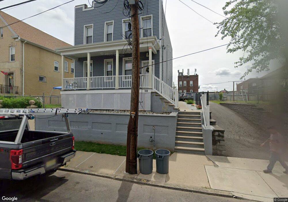
168 Macarthur Ave Unit 2 Garfield, NJ 07026
Estimated Value: $666,000 - $846,000
3
Beds
1
Bath
2,000
Sq Ft
$376/Sq Ft
Est. Value
About This Home
This home is located at 168 Macarthur Ave Unit 2, Garfield, NJ 07026 and is currently estimated at $752,427, approximately $376 per square foot. 168 Macarthur Ave Unit 2 is a home located in Bergen County with nearby schools including Garfield High School and Bergen Arts and Sciences Charter School.
Ownership History
Date
Name
Owned For
Owner Type
Purchase Details
Closed on
Aug 7, 2018
Sold by
Nizborski Dawid
Bought by
Macarthur Holdings Llc
Current Estimated Value
Purchase Details
Closed on
Nov 2, 2017
Sold by
Camisciolli Raymond A
Bought by
Nizborski Dawid
Purchase Details
Closed on
Aug 30, 2017
Sold by
Camiscioli Raymond A
Bought by
Camiscioli Raymond A
Purchase Details
Closed on
Dec 15, 1986
Bought by
Camiscioli Frank
Create a Home Valuation Report for This Property
The Home Valuation Report is an in-depth analysis detailing your home's value as well as a comparison with similar homes in the area
Home Values in the Area
Average Home Value in this Area
Purchase History
| Date | Buyer | Sale Price | Title Company |
|---|---|---|---|
| Macarthur Holdings Llc | -- | -- | |
| Nizborski Dawid | $200,000 | -- | |
| Camiscioli Raymond A | -- | None Available | |
| Camiscioli Frank | $40,000 | -- |
Source: Public Records
Tax History
| Year | Tax Paid | Tax Assessment Tax Assessment Total Assessment is a certain percentage of the fair market value that is determined by local assessors to be the total taxable value of land and additions on the property. | Land | Improvement |
|---|---|---|---|---|
| 2025 | $10,301 | $308,700 | $118,800 | $189,900 |
| 2024 | $10,128 | $308,700 | $118,800 | $189,900 |
| 2023 | $9,628 | $308,700 | $118,800 | $189,900 |
| 2022 | $9,628 | $308,700 | $118,800 | $189,900 |
| 2021 | $9,347 | $308,700 | $118,800 | $189,900 |
| 2020 | $9,144 | $308,700 | $118,800 | $189,900 |
| 2019 | $8,971 | $308,700 | $118,800 | $189,900 |
| 2018 | $5,844 | $205,700 | $118,800 | $86,900 |
| 2017 | $5,741 | $205,700 | $118,800 | $86,900 |
| 2016 | $5,570 | $205,700 | $118,800 | $86,900 |
| 2015 | $5,433 | $205,700 | $118,800 | $86,900 |
| 2014 | $5,289 | $205,700 | $118,800 | $86,900 |
Source: Public Records
Map
Nearby Homes
- 44 Malcolm Ave
- 126 Macarthur Ave
- 115 Macarthur Ave
- 270 Midland Ave
- 7 Westminster Place
- 255 Westminster Place
- 397 Passaic Ave
- 22 Harrison Ave Unit 2
- 22 Harrison Ave
- 158 Pierre Ave
- 104 Belmont Ave
- 363 Macarthur Ave
- 75 Cedar St
- 280 Malcolm Ave
- 22 Bernice Place
- 283 Malcolm Ave
- 283 Malcolm Ave Unit 2
- 229 Palisade Ave
- 122 Cedar St
- 72 Van Winkle Ave
- 168 Macarthur Ave
- 168 Macarthur Ave Unit 1
- 162 Macarthur Ave
- 174 Macarthur Ave Unit Store
- 174 Macarthur Ave
- 158 Macarthur Ave
- 158 Macarthur Ave Unit 2
- 171 Macarthur Ave
- 195 Harrison Ave
- 185 Harrison Ave
- 169 Macarthur Ave
- 165 Macarthur Ave
- 163 Macarthur Ave
- 159 Macarthur Ave
- 155 Macarthur Ave
- 173 Harrison Ave
- 153 Macarthur Ave
- 146 Macarthur Ave
- 76 Malcolm Ave
- 80 Malcolm Ave
Your Personal Tour Guide
Ask me questions while you tour the home.