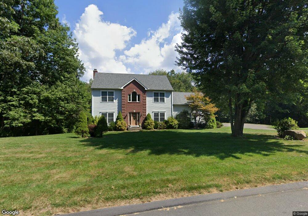
168 N Farms Rd Coventry, CT 06238
Estimated Value: $519,000 - $613,000
3
Beds
3
Baths
2,292
Sq Ft
$244/Sq Ft
Est. Value
About This Home
This home is located at 168 N Farms Rd, Coventry, CT 06238 and is currently estimated at $559,714, approximately $244 per square foot. 168 N Farms Rd is a home located in Tolland County with nearby schools including Coventry Grammar School, George Hersey Robertson School, and Capt. Nathan Hale School.
Ownership History
Date
Name
Owned For
Owner Type
Purchase Details
Closed on
Jan 12, 2015
Sold by
Sylvester Virginia
Bought by
Polikowski Steven
Current Estimated Value
Purchase Details
Closed on
Apr 3, 2001
Sold by
Crossen Bldrs
Bought by
Sylvester Virginia and Polinkowski Steven
Home Financials for this Owner
Home Financials are based on the most recent Mortgage that was taken out on this home.
Original Mortgage
$70,000
Interest Rate
6.96%
Create a Home Valuation Report for This Property
The Home Valuation Report is an in-depth analysis detailing your home's value as well as a comparison with similar homes in the area
Home Values in the Area
Average Home Value in this Area
Purchase History
| Date | Buyer | Sale Price | Title Company |
|---|---|---|---|
| Polikowski Steven | -- | -- | |
| Sylvester Virginia | $55,900 | -- | |
| Polikowski Steven | -- | -- | |
| Sylvester Virginia | $55,900 | -- |
Source: Public Records
Mortgage History
| Date | Status | Borrower | Loan Amount |
|---|---|---|---|
| Previous Owner | Sylvester Virginia | $140,000 | |
| Previous Owner | Sylvester Virginia | $200,000 | |
| Previous Owner | Sylvester Virginia | $70,000 |
Source: Public Records
Tax History
| Year | Tax Paid | Tax Assessment Tax Assessment Total Assessment is a certain percentage of the fair market value that is determined by local assessors to be the total taxable value of land and additions on the property. | Land | Improvement |
|---|---|---|---|---|
| 2025 | $8,829 | $371,600 | $97,400 | $274,200 |
| 2024 | $7,695 | $231,000 | $79,700 | $151,300 |
| 2023 | $7,332 | $231,000 | $79,700 | $151,300 |
| 2022 | $7,196 | $231,000 | $79,700 | $151,300 |
| 2021 | $7,196 | $231,000 | $79,700 | $151,300 |
| 2020 | $7,200 | $231,000 | $79,700 | $151,300 |
| 2019 | $7,451 | $231,400 | $79,700 | $151,700 |
| 2018 | $7,683 | $238,600 | $85,400 | $153,200 |
| 2017 | $7,635 | $238,600 | $85,400 | $153,200 |
| 2016 | $7,444 | $238,600 | $85,400 | $153,200 |
| 2015 | $7,444 | $238,600 | $85,400 | $153,200 |
| 2014 | $7,416 | $260,500 | $97,300 | $163,200 |
Source: Public Records
Map
Nearby Homes
- 456 Grant Hill Rd
- 395 Grant Hill Rd Unit Lot21
- 395 Grant Hill (Mill Race Drive) Lot #21 Rd
- 14 Woodland St
- 106 David Dr
- 37 Wolf Hill Rd Unit Lot 40
- 37 Wolf Hill Lot (#40) Rd
- 64 Columbine Rd
- 226 Goose Ln
- 15 Elm Rd
- 499 Woodmont Dr
- 279 Mark Dr
- 864 Boston Turnpike
- 312 Merrow Rd
- 284 Merrow Rd
- 317 Merrow Rd
- 39 Josephine Way
- 248 Merrow Rd
- 0 Boston Turnpike Unit 24128587
- 21 Josephine Way