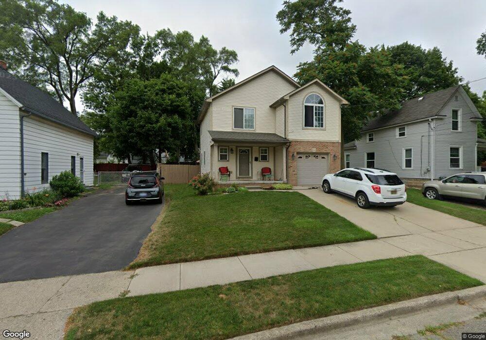
168 Perkins St Pontiac, MI 48342
Estimated Value: $169,306 - $246,000
3
Beds
3
Baths
1,335
Sq Ft
$153/Sq Ft
Est. Value
About This Home
This home is located at 168 Perkins St, Pontiac, MI 48342 and is currently estimated at $204,577, approximately $153 per square foot. 168 Perkins St is a home located in Oakland County with nearby schools including Walt Whitman Elementary School, Pontiac Middle School, and Pontiac High School.
Ownership History
Date
Name
Owned For
Owner Type
Purchase Details
Closed on
Jun 30, 2005
Sold by
Lighthouse Community Development
Bought by
Johnson Bridget Lynn
Current Estimated Value
Purchase Details
Closed on
Mar 8, 2004
Sold by
Fachini Roger A and Fachini Patrizia A
Bought by
Lighthouse Community Development
Purchase Details
Closed on
Sep 3, 2002
Sold by
City Of Pontiac
Bought by
Economic Development Corp
Create a Home Valuation Report for This Property
The Home Valuation Report is an in-depth analysis detailing your home's value as well as a comparison with similar homes in the area
Home Values in the Area
Average Home Value in this Area
Purchase History
| Date | Buyer | Sale Price | Title Company |
|---|---|---|---|
| Johnson Bridget Lynn | $115,000 | Metropolitan Title Company | |
| Lighthouse Community Development | -- | Lamont Title Corporation | |
| Economic Development Corp | -- | -- | |
| Lighthouse Community Development | $1,352 | -- |
Source: Public Records
Tax History Compared to Growth
Tax History
| Year | Tax Paid | Tax Assessment Tax Assessment Total Assessment is a certain percentage of the fair market value that is determined by local assessors to be the total taxable value of land and additions on the property. | Land | Improvement |
|---|---|---|---|---|
| 2024 | $1,044 | $55,170 | $0 | $0 |
| 2023 | $995 | $49,060 | $0 | $0 |
| 2022 | $1,852 | $43,320 | $0 | $0 |
| 2021 | $1,519 | $39,140 | $0 | $0 |
| 2020 | $904 | $35,080 | $0 | $0 |
| 2019 | $972 | $30,430 | $0 | $0 |
| 2018 | $936 | $26,460 | $0 | $0 |
| 2017 | $888 | $25,420 | $0 | $0 |
| 2016 | $913 | $24,800 | $0 | $0 |
| 2015 | -- | $23,280 | $0 | $0 |
| 2014 | -- | $22,510 | $0 | $0 |
| 2011 | -- | $32,820 | $0 | $0 |
Source: Public Records
Map
Nearby Homes
- 000 Wall St
- 397 S Jessie St
- 0 Woodward Ave
- 328 Whittemore St
- 187 Wall St
- 472 S Jessie St
- 000 Rapid St
- 209 Ferry Ave
- 389 Osmun St
- 18 S Shirley St
- 176 S Francis Ave
- 33 S Tasmania St
- 505 Auburn Ave
- 323 Ferry Ave
- 53 N Roselawn St
- 59 Bellevue St
- 54 Bellevue St
- 55 N Roselawn St
- 57 N Roselawn St
- 228 Hughes Ave