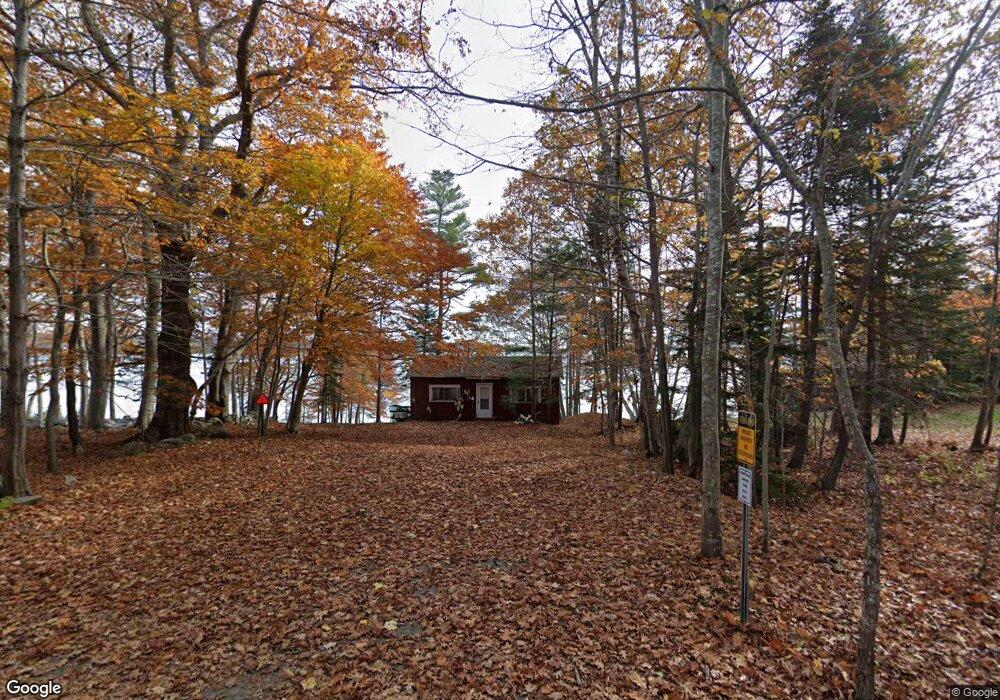
168 Spruce Point Rd Yarmouth, ME 04096
Cousins Island NeighborhoodEstimated Value: $721,000 - $1,507,000
1
Bed
1
Bath
648
Sq Ft
$1,724/Sq Ft
Est. Value
About This Home
This home is located at 168 Spruce Point Rd, Yarmouth, ME 04096 and is currently estimated at $1,117,465, approximately $1,724 per square foot. 168 Spruce Point Rd is a home located in Cumberland County with nearby schools including William H. Rowe School, Yarmouth Elementary School, and Frank H. Harrison Middle School.
Ownership History
Date
Name
Owned For
Owner Type
Purchase Details
Closed on
Feb 22, 2006
Sold by
Morrison Eldon L
Bought by
168 Spruce Pt Road Llc
Current Estimated Value
Create a Home Valuation Report for This Property
The Home Valuation Report is an in-depth analysis detailing your home's value as well as a comparison with similar homes in the area
Home Values in the Area
Average Home Value in this Area
Purchase History
| Date | Buyer | Sale Price | Title Company |
|---|---|---|---|
| 168 Spruce Pt Road Llc | -- | -- |
Source: Public Records
Tax History Compared to Growth
Tax History
| Year | Tax Paid | Tax Assessment Tax Assessment Total Assessment is a certain percentage of the fair market value that is determined by local assessors to be the total taxable value of land and additions on the property. | Land | Improvement |
|---|---|---|---|---|
| 2024 | $22,084 | $860,300 | $816,400 | $43,900 |
| 2023 | $20,251 | $860,300 | $816,400 | $43,900 |
| 2022 | $18,600 | $860,300 | $816,400 | $43,900 |
| 2021 | $17,034 | $860,300 | $816,400 | $43,900 |
| 2020 | $3,743 | $860,300 | $816,400 | $43,900 |
| 2019 | $5,860 | $860,300 | $816,400 | $43,900 |
| 2018 | $15,313 | $860,300 | $816,400 | $43,900 |
| 2017 | $2,909 | $860,300 | $816,400 | $43,900 |
| 2016 | $16,801 | $984,800 | $940,900 | $43,900 |
| 2015 | $15,101 | $700,400 | $679,700 | $20,700 |
| 2014 | $15,129 | $700,400 | $679,700 | $20,700 |
| 2013 | $15,409 | $700,400 | $0 | $0 |
Source: Public Records
Map
Nearby Homes
- 184 Spruce Point Rd
- 87 Wharf Rd
- 51 Oakland Ave
- 275 Littlejohn Rd
- Lot#8C North Rd
- 48 Pond Rd
- 61 Sawyer Rd
- 471 South Rd Unit A
- 471 South Rd Unit B
- 6 Daybreak Ln Unit 18
- Lot 2 Buxhill Blvd
- 51 Meeting House Farms Rd
- 15 Sea Cove Rd
- 258 Foreside Rd
- 186 Foreside Rd
- 24 York Ledge Dr
- 30 Seaside Way Unit Lot 3
- 59 Underwood Rd
- 263 Foreside Rd
- 86 Pleasant St
- 160 Spruce Point Rd
- 151 Spruce Point Rd
- 181 Spruce Point Rd
- 104 Spruce Point Rd
- 127 Spruce Point Rd
- 214 Spruce Point Rd
- 92 Spruce Point Rd
- 248 Spruce Point Rd
- 125 Spruce Point Rd
- 99 Spruce Point Rd
- 261 Spruce Point Rd
- 56 Spruce Point Rd
- 253 Spruce Point Rd
- 141 Wharf Rd
- 27 Harmony Hill
- 143 Wharf Rd
- 28 Harmony Hill
- 26 Harmony Hill
- 17 Harmony Hill
- 92 Wharf Rd