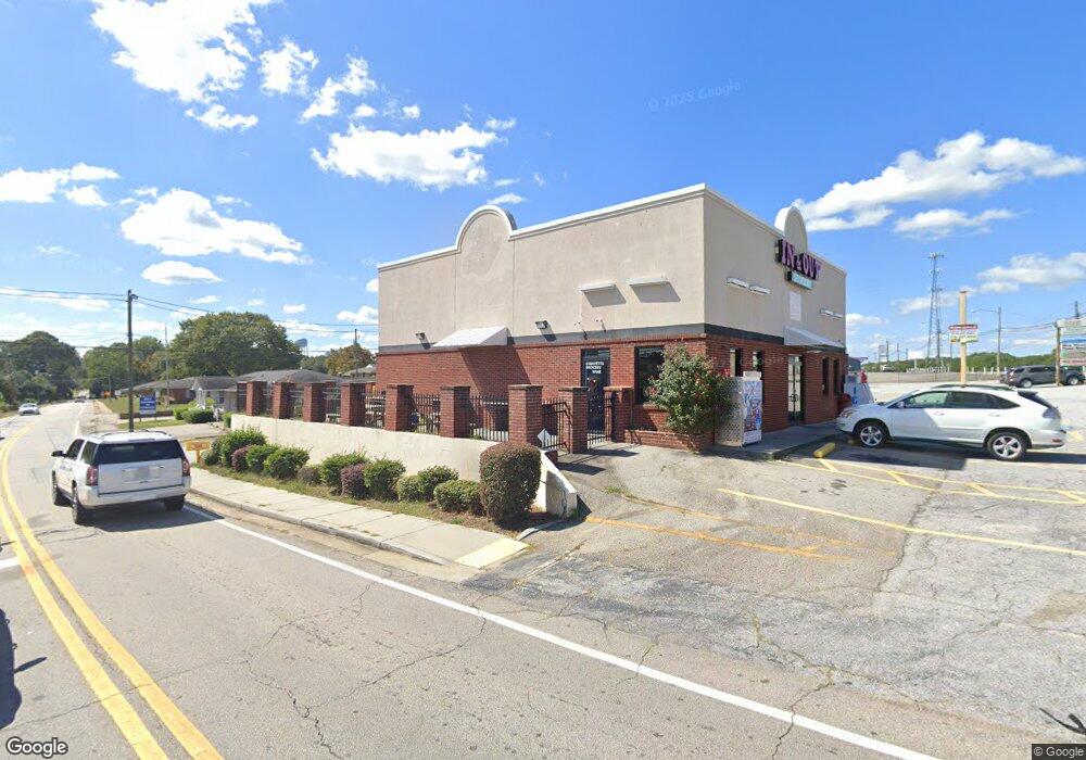
168 W May St Winder, GA 30680
Estimated Value: $1,193,676
--
Bed
--
Bath
5,040
Sq Ft
$237/Sq Ft
Est. Value
About This Home
This home is located at 168 W May St, Winder, GA 30680 and is currently estimated at $1,193,676, approximately $236 per square foot. 168 W May St is a home located in Barrow County with nearby schools including Kennedy Elementary School, Westside Middle School, and Apalachee High School.
Ownership History
Date
Name
Owned For
Owner Type
Purchase Details
Closed on
Nov 2, 2023
Sold by
Elder David A
Bought by
168 174 West May Investment Llc
Current Estimated Value
Home Financials for this Owner
Home Financials are based on the most recent Mortgage that was taken out on this home.
Original Mortgage
$770,000
Interest Rate
7.49%
Mortgage Type
New Conventional
Purchase Details
Closed on
Oct 5, 2023
Sold by
Elder David A
Bought by
Elder David A and Elder Mary Catherine
Home Financials for this Owner
Home Financials are based on the most recent Mortgage that was taken out on this home.
Original Mortgage
$770,000
Interest Rate
7.49%
Mortgage Type
New Conventional
Create a Home Valuation Report for This Property
The Home Valuation Report is an in-depth analysis detailing your home's value as well as a comparison with similar homes in the area
Home Values in the Area
Average Home Value in this Area
Purchase History
| Date | Buyer | Sale Price | Title Company |
|---|---|---|---|
| 168 174 West May Investment Llc | $1,100,000 | -- | |
| Elder David A | -- | -- |
Source: Public Records
Mortgage History
| Date | Status | Borrower | Loan Amount |
|---|---|---|---|
| Previous Owner | 168 174 West May Investment Llc | $770,000 |
Source: Public Records
Tax History Compared to Growth
Tax History
| Year | Tax Paid | Tax Assessment Tax Assessment Total Assessment is a certain percentage of the fair market value that is determined by local assessors to be the total taxable value of land and additions on the property. | Land | Improvement |
|---|---|---|---|---|
| 2024 | $8,118 | $289,058 | $51,200 | $237,858 |
| 2023 | $9,516 | $289,058 | $51,200 | $237,858 |
| 2022 | $9,682 | $289,058 | $51,200 | $237,858 |
| 2021 | $10,159 | $285,283 | $64,000 | $221,283 |
| 2020 | $9,537 | $285,283 | $64,000 | $221,283 |
| 2019 | $9,673 | $285,283 | $64,000 | $221,283 |
| 2018 | $9,541 | $281,971 | $64,000 | $217,971 |
| 2017 | $7,987 | $267,680 | $64,000 | $203,680 |
| 2016 | $6,318 | $189,727 | $64,000 | $125,727 |
| 2015 | $6,433 | $192,981 | $64,000 | $128,981 |
| 2014 | $5,665 | $168,766 | $35,840 | $132,926 |
| 2013 | -- | $164,022 | $31,360 | $132,662 |
Source: Public Records
Map
Nearby Homes
- 0 Bill Rutledge Rd Unit 10591503
- 0 Bill Rutledge Rd Unit 7630436
- 42 Horton St
- 221 Highway 211 NW
- 87 Clifton Dr
- 128 Mcneal Rd
- 132 Circle Dr
- 110 Mears St
- 281 Springdale Dr
- 2036 Massey Ln
- 254 Partridge Trail
- 217 Bellview St
- 155 Horton St
- 263 Elks St
- 145 Humphry Ct
- 2051 Massey Ln
- 151 Humphry Ct
- The Cary A Plan at Lake Shore
- The Marion A Plan at Lake Shore
- 281 Hillside Dr