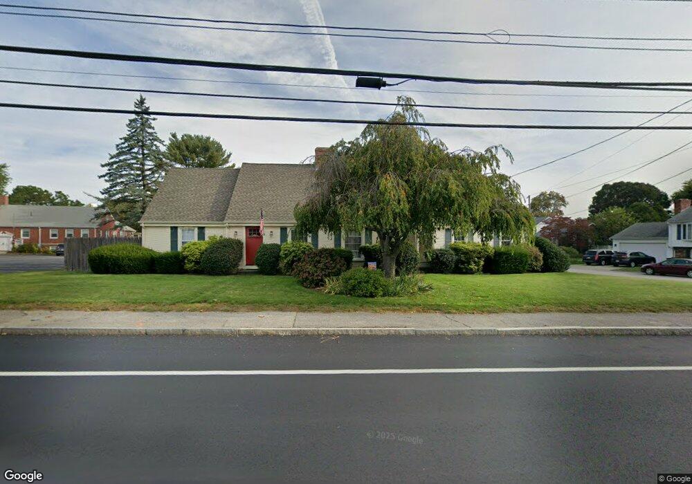
168 Wampanoag Trail Riverside, RI 02915
Kent Heights NeighborhoodEstimated Value: $504,000 - $561,000
4
Beds
2
Baths
1,834
Sq Ft
$289/Sq Ft
Est. Value
About This Home
This home is located at 168 Wampanoag Trail, Riverside, RI 02915 and is currently estimated at $529,829, approximately $288 per square foot. 168 Wampanoag Trail is a home located in Providence County with nearby schools including East Providence High School, The Gordon School, and St Mary Academy-Bay View.
Ownership History
Date
Name
Owned For
Owner Type
Purchase Details
Closed on
Dec 5, 2017
Sold by
Parella Frank J and Parella Mary E
Bought by
Parella 3Rd Frank J and Parella Arlene L
Current Estimated Value
Home Financials for this Owner
Home Financials are based on the most recent Mortgage that was taken out on this home.
Original Mortgage
$202,730
Outstanding Balance
$171,791
Interest Rate
3.88%
Mortgage Type
New Conventional
Estimated Equity
$358,038
Purchase Details
Closed on
May 30, 1995
Sold by
Jackowitz Bernard J
Bought by
Parella Mary Ellen and Parella Frank
Create a Home Valuation Report for This Property
The Home Valuation Report is an in-depth analysis detailing your home's value as well as a comparison with similar homes in the area
Home Values in the Area
Average Home Value in this Area
Purchase History
| Date | Buyer | Sale Price | Title Company |
|---|---|---|---|
| Parella 3Rd Frank J | $209,000 | -- | |
| Parella Mary Ellen | $140,000 | -- | |
| Parella 3Rd Frank J | $209,000 | -- | |
| Parella Mary Ellen | $140,000 | -- |
Source: Public Records
Mortgage History
| Date | Status | Borrower | Loan Amount |
|---|---|---|---|
| Open | Parella 3Rd Frank J | $202,730 | |
| Closed | Parella Mary Ellen | $202,730 |
Source: Public Records
Tax History Compared to Growth
Tax History
| Year | Tax Paid | Tax Assessment Tax Assessment Total Assessment is a certain percentage of the fair market value that is determined by local assessors to be the total taxable value of land and additions on the property. | Land | Improvement |
|---|---|---|---|---|
| 2025 | $6,500 | $497,300 | $138,900 | $358,400 |
| 2024 | $6,580 | $429,200 | $115,900 | $313,300 |
| 2023 | $6,335 | $429,200 | $115,900 | $313,300 |
| 2022 | $6,263 | $286,500 | $58,100 | $228,400 |
| 2021 | $6,160 | $286,500 | $58,100 | $228,400 |
| 2020 | $5,899 | $286,500 | $58,100 | $228,400 |
| 2019 | $5,736 | $286,500 | $58,100 | $228,400 |
| 2018 | $5,514 | $241,000 | $59,400 | $181,600 |
| 2017 | $5,391 | $241,000 | $59,400 | $181,600 |
| 2016 | $5,365 | $241,000 | $59,400 | $181,600 |
| 2015 | $5,166 | $225,100 | $52,400 | $172,700 |
| 2014 | $5,166 | $225,100 | $52,400 | $172,700 |
Source: Public Records
Map
Nearby Homes
- 108 Ivan Ave
- 53 Wampanoag Trail
- 10 Fairfield Ave
- 59 Merritt Rd
- 36 Gerald St
- 180 Grassmere Ave
- 25 Ide Ave
- 87 Vincent Ave
- 14 Waterview Ave Unit 16
- 50 Kettle Point Ave Unit 50
- 74 Brookhaven Dr
- 26 Mayflower St
- 740 Veterans Memorial Pkwy
- 1463 S Broadway
- 132 S Rose St
- 75 Belmont Ave
- 17 Brown St Unit 19
- 3421 Pawtucket Ave
- 16 N Rose St
- 11 N Rose St
- 5 Pickett Rd
- 141 Wampanoag Trail
- 6 Pickett Rd
- 149 Wampanoag Trail
- 155 Wampanoag Trail
- 10 Elder Ave
- 176 Wampanoag Trail
- 133 Wampanoag Trail
- 11 Pickett Rd
- 161 Wampanoag Trail
- 1 Fairbanks Ave Unit 1
- 10 Pickett Rd
- 18 Elder Ave
- 33 Garden Dr
- 180 Wampanoag Trail
- 123 Wampanoag Trail
- 15 Pickett Rd
- 29 Garden Dr
- 175 Wampanoag Trail
- 9 Fairbanks Ave