1680 Eagle Point Rd Grayling, MI 49738
Estimated Value: $512,000 - $783,301
3
Beds
1
Bath
600
Sq Ft
$1,071/Sq Ft
Est. Value
About This Home
This home is located at 1680 Eagle Point Rd, Grayling, MI 49738 and is currently estimated at $642,767, approximately $1,071 per square foot. 1680 Eagle Point Rd is a home located in Crawford County with nearby schools including Grayling Elementary School, Grayling Middle School, and Grayling High School.
Ownership History
Date
Name
Owned For
Owner Type
Purchase Details
Closed on
Sep 7, 2017
Sold by
Atchison Steven F and Atchison Bonnie A
Bought by
Atchison Steven F and Atchison Bonnie A
Current Estimated Value
Purchase Details
Closed on
Jul 14, 2005
Sold by
Atchison Mary and Atchison Daniel
Bought by
Atchison Steven and Atchison Bonnie
Purchase Details
Closed on
May 24, 2005
Sold by
Atchison Daniel
Bought by
Atchison Steven F and Atchison Bonnie A
Purchase Details
Closed on
May 22, 1999
Sold by
Naujakas Jim and Naujakas Buchanan P
Bought by
Atchison Daniel
Purchase Details
Closed on
Aug 25, 1998
Sold by
Debolt Vern and Wf Shirley
Bought by
Naujakas Jim
Create a Home Valuation Report for This Property
The Home Valuation Report is an in-depth analysis detailing your home's value as well as a comparison with similar homes in the area
Home Values in the Area
Average Home Value in this Area
Purchase History
| Date | Buyer | Sale Price | Title Company |
|---|---|---|---|
| Atchison Steven F | -- | -- | |
| Atchison Steven | $160,000 | -- | |
| Atchison Steven F | -- | -- | |
| Atchinson Daniel | $120,200 | -- | |
| Atchison Daniel | $140,000 | -- | |
| Naujakas Jim | -- | -- | |
| Naujakas Jim | $40,500 | -- |
Source: Public Records
Tax History
| Year | Tax Paid | Tax Assessment Tax Assessment Total Assessment is a certain percentage of the fair market value that is determined by local assessors to be the total taxable value of land and additions on the property. | Land | Improvement |
|---|---|---|---|---|
| 2025 | $0 | $0 | $0 | $0 |
| 2024 | -- | $0 | $0 | $0 |
| 2023 | -- | $0 | $0 | $0 |
| 2022 | $0 | $0 | $0 | $0 |
| 2021 | $5,574 | $0 | $0 | $0 |
| 2020 | $5,574 | $244,300 | $244,300 | $0 |
| 2019 | $5,453 | $213,500 | $213,500 | $0 |
| 2018 | $5,235 | $225,400 | $91,400 | $134,000 |
| 2017 | $5,147 | $194,300 | $91,400 | $102,900 |
| 2016 | $4,379 | $203,300 | $91,400 | $111,900 |
| 2015 | $5,149 | $203,300 | $0 | $0 |
| 2014 | -- | $203,300 | $0 | $0 |
| 2013 | -- | $205,600 | $0 | $0 |
Source: Public Records
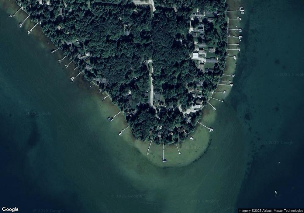
Map
Nearby Homes
- 000 Ray Ave
- 0 Battalion Blvd Unit 1940218
- 9143 N Lake Shore Dr
- V/L 6 Lots Battalion Blvd
- 9246 Outing Place
- VL 20-29 Monroe Ave
- V/L L18-21 Monroe Ave
- 10333 Madison Ave
- 2916 N Portage Ave
- 6960 Trem Pal Rd
- V/L Lot 9 Norseman Dr
- V/L Lot 2 Norseman Dr
- V/L Lot 10 Norseman Dr
- V/L Lot 1 Norseman Dr
- 11846 W M-72 Hwy
- V/L L71-75 Evergreen Dr
- 5973 W M-72 Hwy
- 15981 Snay Dr SE
- 14972 Riverview Rd SE
- 000 W M-72 Hwy
- 9441 Spinnaker St
- 1655 Eagle Point Rd
- 1632 Eagle Point Rd
- 1632 Eagle Point Rd
- 9457 Spinnaker St
- 1670 Eagle Point Rd
- 9482 Ray Ave
- 1652 Eagle Point Rd
- 1652 Eagle Point Rd
- 1602 Eagle Point Rd
- 9549 Spinnaker St
- 1595 Eagle Point Rd
- 9462 Ray Ave
- 9534 Spinnaker St
- 9480 Spinnaker St
- 1674 Eagle Point Rd
- 9433 Spinnaker St
- 1590 Malcolm St
- 1672 Lost Ln
- 9491 Ray Ave
Your Personal Tour Guide
Ask me questions while you tour the home.