16800 Spanker Branch Rd Aviston, IL 62216
Estimated Value: $333,234 - $454,000
--
Bed
1
Bath
2,160
Sq Ft
$180/Sq Ft
Est. Value
About This Home
This home is located at 16800 Spanker Branch Rd, Aviston, IL 62216 and is currently estimated at $389,809, approximately $180 per square foot. 16800 Spanker Branch Rd is a home located in Clinton County with nearby schools including St Rose Elementary School and Central Community High School.
Ownership History
Date
Name
Owned For
Owner Type
Purchase Details
Closed on
Oct 7, 2021
Sold by
Wilke Ronald L and Wilke Family Revocable Living
Bought by
Wilke Lucas and Wilke Alyssa
Current Estimated Value
Home Financials for this Owner
Home Financials are based on the most recent Mortgage that was taken out on this home.
Original Mortgage
$200,000
Outstanding Balance
$182,248
Interest Rate
2.75%
Mortgage Type
New Conventional
Estimated Equity
$207,561
Purchase Details
Closed on
Jun 12, 2017
Sold by
Wilke Ronald and Wilke Bonnie
Bought by
Wilke Ronald and Wilke Bonnie
Create a Home Valuation Report for This Property
The Home Valuation Report is an in-depth analysis detailing your home's value as well as a comparison with similar homes in the area
Home Values in the Area
Average Home Value in this Area
Purchase History
| Date | Buyer | Sale Price | Title Company |
|---|---|---|---|
| Wilke Lucas | $250,000 | Community Title | |
| Wilke Ronald | -- | Attorney |
Source: Public Records
Mortgage History
| Date | Status | Borrower | Loan Amount |
|---|---|---|---|
| Open | Wilke Lucas | $200,000 |
Source: Public Records
Tax History Compared to Growth
Tax History
| Year | Tax Paid | Tax Assessment Tax Assessment Total Assessment is a certain percentage of the fair market value that is determined by local assessors to be the total taxable value of land and additions on the property. | Land | Improvement |
|---|---|---|---|---|
| 2024 | $6,454 | $99,270 | $9,160 | $90,110 |
| 2023 | $6,454 | $90,250 | $8,330 | $81,920 |
| 2022 | $5,890 | $89,980 | $9,450 | $80,530 |
| 2021 | $5,484 | $84,090 | $8,830 | $75,260 |
| 2020 | $5,020 | $79,330 | $8,330 | $71,000 |
| 2019 | $5,121 | $79,330 | $8,330 | $71,000 |
| 2018 | $5,121 | $75,140 | $7,330 | $67,810 |
| 2017 | $5,237 | $75,140 | $7,330 | $67,810 |
| 2016 | $5,200 | $75,140 | $7,330 | $67,810 |
| 2015 | $3,699 | $75,140 | $7,330 | $67,810 |
| 2013 | $3,699 | $79,230 | $7,330 | $71,900 |
Source: Public Records
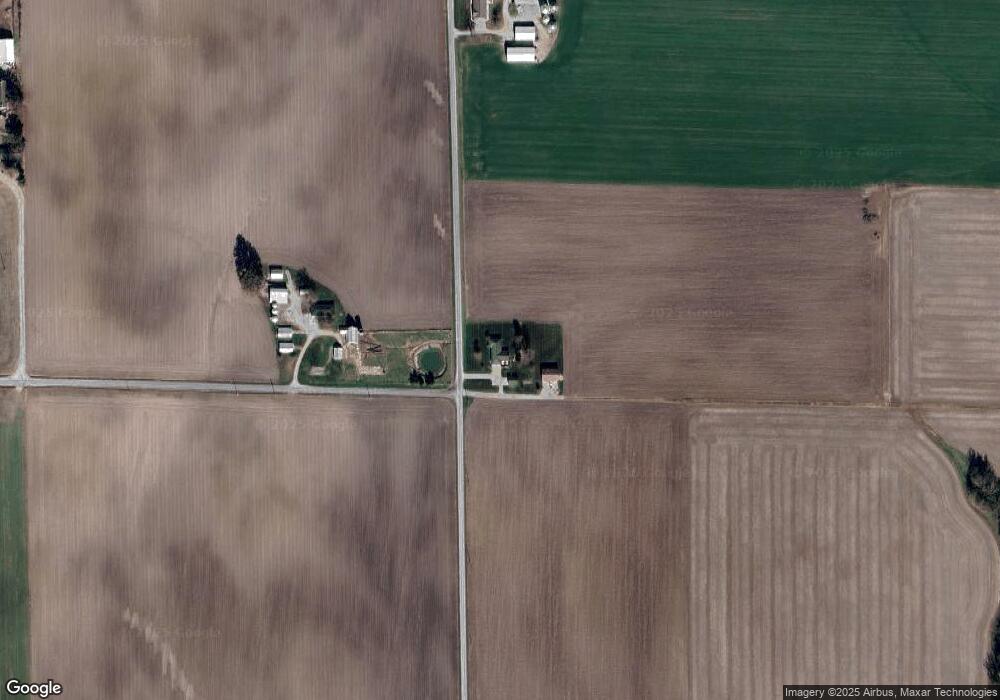
Map
Nearby Homes
- 17811 East St
- xxxx Main St
- 13636 Alpine Way
- 13613 Alpine Way
- 22809 Saint Rose Rd
- 13964 Best One Dr
- 751 E 4th St
- 13898 Lincoln Dr
- 10 S Hull St
- 10675 Buckingham Ct
- 923 N 6th St
- 290 N Elm St
- 889 N 1st St
- 13642 Saint Rose Rd
- 1031 N 1st St
- 429 S 6th St
- 620 S 6th St
- 126 Jefferson Dr
- 3265 Venhaus Rd
- 3221 Venhaus Rd
- 16930 Spanker Branch Rd
- 6809 Dairyman Rd
- 17122 Spanker Branch Rd
- 16520 Spanker Branch Rd
- 6701 Dairyman Rd
- 7104 Wayne Rd
- 16470 Spanker Branch Rd
- 17317 Spanker Branch Rd
- 7021 Wayne Rd
- 16330 Spanker Branch Rd
- 17449 Spanker Branch Rd
- 6315 Dairyman Rd
- 7580 Wayne Rd
- 6935 Lee Rd
- 7596 Wayne Rd
- 6801 Lee Rd
- 7601 Wayne Rd
- 6716 Lee Rd
- 7067 Lee Rd
- 7055 Lee Rd