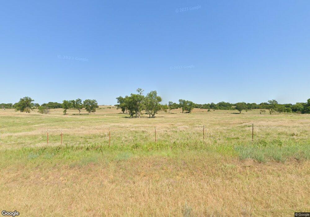
16800 State Highway 24 Purcell, OK 73080
Estimated Value: $578,000 - $653,695
3
Beds
1
Bath
1,353
Sq Ft
$455/Sq Ft
Est. Value
About This Home
This home is located at 16800 State Highway 24, Purcell, OK 73080 and is currently estimated at $615,848, approximately $455 per square foot. 16800 State Highway 24 is a home located in McClain County with nearby schools including Wayne Elementary School, Wayne Middle School, and Wayne High School.
Ownership History
Date
Name
Owned For
Owner Type
Purchase Details
Closed on
Jan 8, 2025
Sold by
Hogue Bill C and Hogue Linda G
Bought by
Dauzat Bryant C and Dauzat Vickie M
Current Estimated Value
Purchase Details
Closed on
Apr 7, 2024
Sold by
Miller Thomas A
Bought by
Miller Nancy S
Purchase Details
Closed on
Mar 5, 2022
Sold by
Key Trust and Yarborough Sophie
Bought by
Devise Family Llc and Dark Onyx Llc
Create a Home Valuation Report for This Property
The Home Valuation Report is an in-depth analysis detailing your home's value as well as a comparison with similar homes in the area
Home Values in the Area
Average Home Value in this Area
Purchase History
| Date | Buyer | Sale Price | Title Company |
|---|---|---|---|
| Dauzat Bryant C | $624,000 | Stewart Title | |
| Dauzat Bryant C | $624,000 | Stewart Title | |
| Miller Nancy S | -- | None Listed On Document | |
| Devise Family Llc | -- | None Listed On Document |
Source: Public Records
Tax History Compared to Growth
Tax History
| Year | Tax Paid | Tax Assessment Tax Assessment Total Assessment is a certain percentage of the fair market value that is determined by local assessors to be the total taxable value of land and additions on the property. | Land | Improvement |
|---|---|---|---|---|
| 2024 | $295 | $3,563 | $3,274 | $289 |
| 2023 | $295 | $3,459 | $2,863 | $596 |
| 2022 | $287 | $3,358 | $2,767 | $591 |
| 2021 | $282 | $3,260 | $2,672 | $588 |
| 2020 | $279 | $3,166 | $2,542 | $624 |
| 2019 | $315 | $3,556 | $2,982 | $574 |
| 2018 | $308 | $3,549 | $2,975 | $574 |
| 2017 | $303 | $3,446 | $2,872 | $574 |
| 2016 | $535 | $6,010 | $2,382 | $3,628 |
| 2015 | $527 | $5,835 | $1,608 | $4,227 |
| 2014 | $513 | $5,685 | $1,516 | $4,169 |
Source: Public Records
Map
Nearby Homes
- 17402 Oklahoma 24
- 20850 Oklahoma 24
- 21000 180th St
- 0000 Sooner Ave
- 7 Ac State Highway 24
- 25043 Doe Creek Trail
- 0 Johnson Ave
- 21788 201st St
- 15697 State Highway 74
- 18304 Johnson Ave
- 20158 140th St
- 21850 201st St
- 20195 Wolf Creek Dr
- 40 201st ( Lot 14) St
- 20309 Lampkin Trail
- 20260 Lampkin Trail
- 20308 Lampkin Trail
- 20224 Lampkin Trail
- 40 201st ( Lot 9) St
- 40 201st ( Lot 15) St
- 17023 State Highway 24
- 22117 170th St
- 17054 State Highway 24
- 16502 State Highway 24
- 17042 State Highway 24
- 17088 State Highway 24
- 17088 State Highway 24
- 22163 Austin Dr
- 22455 170th St
- 17129 State Highway 24
- 22047 Austin Dr
- 17278 State Highway 24
- 22680 170th St
- 17393 State Highway 24
- 21623 160th St
- 0 170th St
- 0000 Oklahoma 24
- 0 Oklahoma 24
- 21842 160th St
- 17602 State Highway 24
