16801 Queen Anne Rd Upper Marlboro, MD 20774
Queen Anne NeighborhoodEstimated Value: $688,115 - $907,000
4
Beds
3
Baths
3,516
Sq Ft
$231/Sq Ft
Est. Value
About This Home
This home is located at 16801 Queen Anne Rd, Upper Marlboro, MD 20774 and is currently estimated at $811,779, approximately $230 per square foot. 16801 Queen Anne Rd is a home located in Prince George's County with nearby schools including Pointer Ridge Elementary School, Benjamin Tasker Middle School, and Bowie High School.
Ownership History
Date
Name
Owned For
Owner Type
Purchase Details
Closed on
Jan 12, 2010
Sold by
Nucker Mark and Nucker Christine
Bought by
Boyer Lucretia M and Evans William A
Current Estimated Value
Home Financials for this Owner
Home Financials are based on the most recent Mortgage that was taken out on this home.
Original Mortgage
$456,577
Interest Rate
4.5%
Mortgage Type
FHA
Purchase Details
Closed on
Feb 11, 1981
Sold by
Four Thirty Seven
Bought by
Nucker Mark and Nucker Christine
Create a Home Valuation Report for This Property
The Home Valuation Report is an in-depth analysis detailing your home's value as well as a comparison with similar homes in the area
Home Values in the Area
Average Home Value in this Area
Purchase History
| Date | Buyer | Sale Price | Title Company |
|---|---|---|---|
| Boyer Lucretia M | $465,000 | -- | |
| Nucker Mark | $31,500 | -- |
Source: Public Records
Mortgage History
| Date | Status | Borrower | Loan Amount |
|---|---|---|---|
| Previous Owner | Boyer Lucretia M | $456,577 |
Source: Public Records
Tax History Compared to Growth
Tax History
| Year | Tax Paid | Tax Assessment Tax Assessment Total Assessment is a certain percentage of the fair market value that is determined by local assessors to be the total taxable value of land and additions on the property. | Land | Improvement |
|---|---|---|---|---|
| 2025 | $6,236 | $468,900 | $203,000 | $265,900 |
| 2024 | $6,236 | $462,733 | $0 | $0 |
| 2023 | $7,046 | $456,567 | $0 | $0 |
| 2022 | $6,802 | $450,400 | $150,400 | $300,000 |
| 2021 | $6,521 | $433,500 | $0 | $0 |
| 2020 | $6,405 | $416,600 | $0 | $0 |
| 2019 | $6,250 | $399,700 | $150,400 | $249,300 |
| 2018 | $6,144 | $393,267 | $0 | $0 |
| 2017 | $6,038 | $386,833 | $0 | $0 |
| 2016 | -- | $380,400 | $0 | $0 |
| 2015 | $5,855 | $380,400 | $0 | $0 |
| 2014 | $5,855 | $380,400 | $0 | $0 |
Source: Public Records
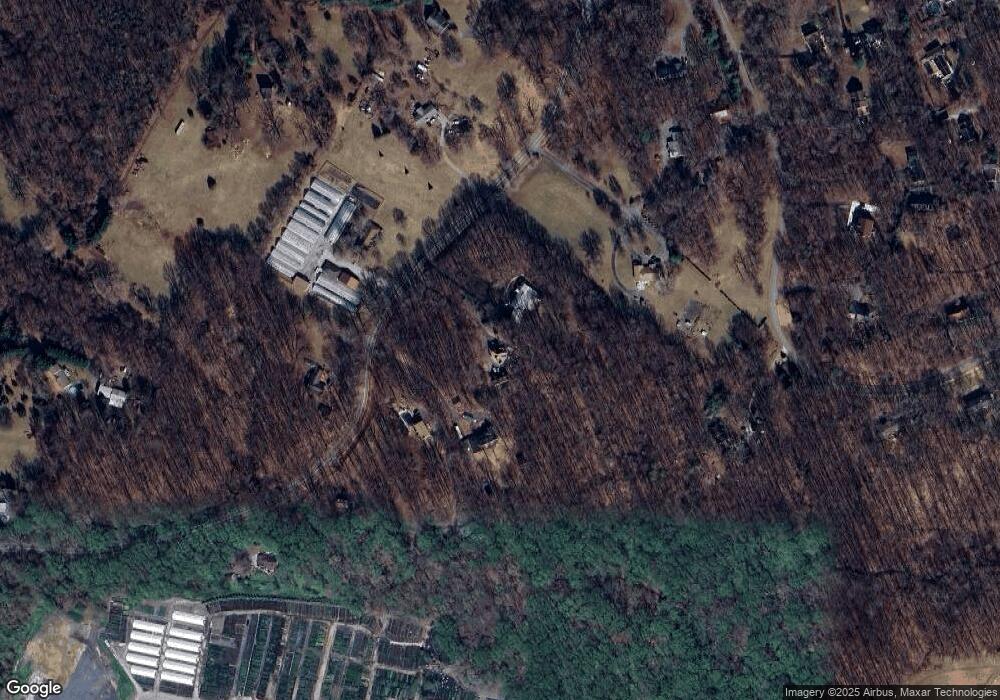
Map
Nearby Homes
- 210 Queen Marie Ct
- 116 Prospect Dr
- 16508 Kilby Ct
- 303 King James Ct
- 17410 Queen Anne Rd
- Hampton II Plan at Marshall's Landing
- Preston Plan at Marshall's Landing
- Stonehaven II Plan at Marshall's Landing
- 16502 Rolling Knolls Ln
- 16500 Rolling Knolls Ln
- 653 Fairmont Dr Unit 216A
- 226 Matisse Place Unit 1012A
- 16505 Rolling Knolls Ln
- 232 Matisse Place Unit 1012D
- 234 Matisse Place Unit 1012E
- 244 Matisse Place Unit 1012K
- 240 Matisse Place Unit 1012H
- 228 Matisse Place Unit 1012B QUICK DELIVERY
- 16503 Rolling Knolls Ln
- 202 Matisse Place Unit 1009B
- 16805 Queen Anne Rd
- 16729 Queen Anne Rd
- 16723 Queen Anne Rd
- 16809 Queen Anne Rd
- 16730 Queen Anne Rd
- 16740 Queen Anne Rd
- 16702 Queen Anne Rd
- 209 King James Rd
- 16800 Queen Anne Rd
- 16903 Queen Anne Rd
- 207 King James Rd
- 16707 Queen Anne Rd
- 180 Crain Hwy
- 180 Crain Hwy
- 17001 Queen Anne Rd
- 206 King James Rd
- 208 King James Rd
- 211 King James Rd
- 202 King James Rd
- 216 Crain Hwy