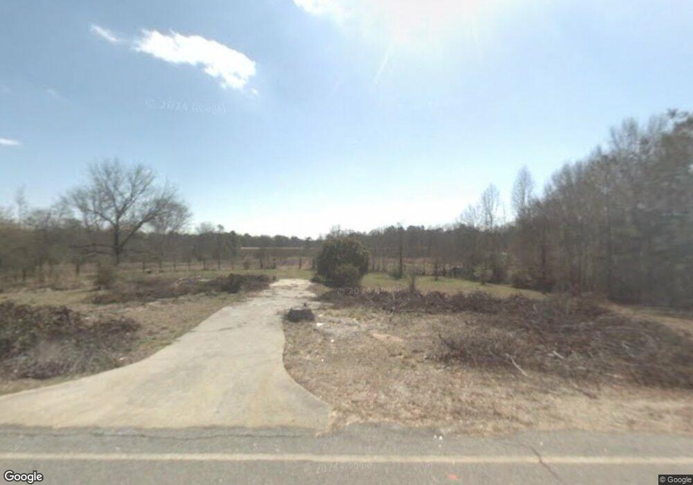
1681 Airport Rd Greensboro, GA 30642
Estimated Value: $36,287 - $316,000
--
Bed
--
Bath
--
Sq Ft
6.32
Acres
About This Home
This home is located at 1681 Airport Rd, Greensboro, GA 30642 and is currently estimated at $161,762. 1681 Airport Rd is a home with nearby schools including Greene County High School.
Ownership History
Date
Name
Owned For
Owner Type
Purchase Details
Closed on
Jul 5, 2022
Sold by
Foxworth Venus M
Bought by
Foxworth Venus M and Mendez Francisco O
Current Estimated Value
Purchase Details
Closed on
Nov 21, 2007
Sold by
Foxworth Venus
Bought by
Greene County Georgia
Purchase Details
Closed on
Aug 6, 2004
Sold by
Brown James E
Bought by
Foxworth Venus M
Purchase Details
Closed on
Jan 2, 1984
Sold by
Bank Of Greensboro
Bought by
Brown James E
Purchase Details
Closed on
Jan 1, 1984
Sold by
Johnson Cornelius
Bought by
Bank Of Greensboro
Purchase Details
Closed on
Jan 2, 1983
Sold by
Bank Of Greensboro
Bought by
Dunn Willie C
Purchase Details
Closed on
Jan 1, 1983
Sold by
Farmers Bank
Bought by
Bank Of Greensboro
Purchase Details
Closed on
Jan 1, 1977
Sold by
Douglas Charles R
Bought by
Johnson Cornelius
Purchase Details
Closed on
Jan 1, 1972
Sold by
Warren Josephine
Bought by
Douglas Charles R
Purchase Details
Closed on
Jan 1, 1936
Bought by
Warren Josephine
Create a Home Valuation Report for This Property
The Home Valuation Report is an in-depth analysis detailing your home's value as well as a comparison with similar homes in the area
Home Values in the Area
Average Home Value in this Area
Purchase History
| Date | Buyer | Sale Price | Title Company |
|---|---|---|---|
| Foxworth Venus M | -- | -- | |
| Greene County Georgia | $16,959 | -- | |
| Foxworth Venus M | $25,000 | -- | |
| Brown James E | -- | -- | |
| Bank Of Greensboro | -- | -- | |
| Johnson Cornelius | -- | -- | |
| Dunn Willie C | -- | -- | |
| Bank Of Greensboro | -- | -- | |
| Farmers Bank | -- | -- | |
| Johnson Cornelius | -- | -- | |
| Douglas Charles R | -- | -- | |
| Warren Josephine | -- | -- |
Source: Public Records
Tax History Compared to Growth
Tax History
| Year | Tax Paid | Tax Assessment Tax Assessment Total Assessment is a certain percentage of the fair market value that is determined by local assessors to be the total taxable value of land and additions on the property. | Land | Improvement |
|---|---|---|---|---|
| 2024 | $401 | $24,800 | $24,800 | $0 |
| 2023 | $309 | $18,760 | $18,760 | $0 |
| 2022 | $328 | $17,720 | $17,720 | $0 |
| 2021 | $357 | $18,040 | $17,720 | $320 |
| 2020 | $233 | $10,244 | $10,040 | $204 |
| 2019 | $242 | $10,244 | $10,040 | $204 |
| 2018 | $242 | $10,244 | $10,040 | $204 |
| 2017 | $228 | $10,254 | $10,046 | $208 |
| 2016 | $228 | $10,254 | $10,046 | $208 |
| 2015 | $202 | $10,253 | $10,046 | $208 |
| 2014 | $207 | $10,239 | $10,046 | $194 |
Source: Public Records
Map
Nearby Homes
- 0 Cunningham Rd
- 2260 Cunningham Rd
- 0 Union Point Hwy Unit 69532
- 0 Union Point Hwy Unit 7607786
- 0 Union Point Hwy Unit 10555176
- 0 Shady Side Ln
- 1641 Bowden Pond Rd
- 1141 Planing Mill Rd
- 0 Old Union Point Rd Unit 1 10557753
- 1131 Planing Mill Rd
- 1251 Brickhouse Rd
- 1251 Brick House Rd
- LOT 1 Penfield
- 1681 Sibley School Rd
- 1531 E Broad St
- 3021 Penfield Rd
- 0 Railroad St Unit 218854
- 0 Railroad St Unit 10578007
- 0 Railroad St Unit 531919
- 1020 Horton Dr
- 1661 Airport Rd
- 1631 Airport Rd
- 1650 Airport Rd Unit 1
- 1650 Airport Rd
- 1630 Airport Rd
- 1590 Airport Rd
- 2060 Old Union Point Rd
- 1580 Airport Rd
- 1570 Airport Rd
- 1020 Cunningham Rd
- 1781 Airport Rd
- 1560 Airport Rd
- 1550 Airport Rd
- 1040 Cunningham Rd
- Parcel 1 Cunningham Rd
- N/A Cunningham Rd
- 11 Union Point Hwy
- 0 Union Point Hwy Unit 8295548
- 0 Union Point Hwy Unit 20125340
- 0 Union Point Hwy Unit 62911