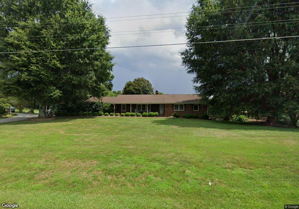
1681 Brown Mountain Rd Westfield, NC 27053
Estimated Value: $310,632 - $441,000
4
Beds
3
Baths
1,815
Sq Ft
$195/Sq Ft
Est. Value
About This Home
This home is located at 1681 Brown Mountain Rd, Westfield, NC 27053 and is currently estimated at $354,408, approximately $195 per square foot. 1681 Brown Mountain Rd is a home with nearby schools including Nancy Reynolds Elementary School, Piney Grove Middle, and North Stokes High.
Ownership History
Date
Name
Owned For
Owner Type
Purchase Details
Closed on
Aug 19, 2025
Sold by
Cox Janice Annette
Bought by
Cox Janice Annette and Leftwich Eleatha Faries
Current Estimated Value
Purchase Details
Closed on
Feb 16, 2024
Sold by
Leftwich Eleatha Faries
Bought by
Cox Janice Annette
Create a Home Valuation Report for This Property
The Home Valuation Report is an in-depth analysis detailing your home's value as well as a comparison with similar homes in the area
Home Values in the Area
Average Home Value in this Area
Purchase History
| Date | Buyer | Sale Price | Title Company |
|---|---|---|---|
| Cox Janice Annette | -- | None Listed On Document | |
| Cox Janice Annette | -- | None Listed On Document | |
| Cox Janice Annette | -- | None Listed On Document | |
| Cox Janice Annette | -- | None Listed On Document |
Source: Public Records
Tax History Compared to Growth
Tax History
| Year | Tax Paid | Tax Assessment Tax Assessment Total Assessment is a certain percentage of the fair market value that is determined by local assessors to be the total taxable value of land and additions on the property. | Land | Improvement |
|---|---|---|---|---|
| 2025 | $1,860 | $285,000 | $46,000 | $239,000 |
| 2024 | $1,860 | $170,300 | $24,900 | $145,400 |
| 2023 | $1,290 | $170,300 | $24,900 | $145,400 |
| 2022 | $1,179 | $170,300 | $24,900 | $145,400 |
| 2021 | $1,179 | $170,300 | $24,900 | $145,400 |
| 2020 | $1,020 | $148,900 | $23,900 | $125,000 |
| 2019 | $1,020 | $148,900 | $23,900 | $125,000 |
| 2018 | $1,020 | $148,900 | $23,900 | $125,000 |
| 2017 | $1,013 | $148,900 | $23,900 | $125,000 |
| 2016 | $978 | $144,200 | $23,900 | $120,300 |
| 2015 | $972 | $144,200 | $23,900 | $120,300 |
| 2014 | $1,017 | $144,200 | $23,900 | $120,300 |
Source: Public Records
Map
Nearby Homes
- 1202 Farm Rd
- 74.83 Windy Hill Rd
- 00 Jackson Rd
- 0 Dearmin Rd Unit 25131549
- 0 Dearmin Rd Unit 25132044
- 0 Dearmin Rd Unit 25131530
- 0 Dearmin Rd Unit 1198608
- 0 Dearmin Rd Unit 1198590
- 3.9Ac Pell Rd
- 1934 N Carolina 66
- 1288 & 1292 Pilot Westfield Rd
- 1125 Apple Blossom Ln
- 1020 Willow Creek Dr
- 3595 N Carolina 268
- 0 Marshall Ridge Rd
- 00 Thore Rd
- 1078 Nc 66 Hwy S
- 00 Nc Highway 268 Unit 7.22
- 0 Simmons Rd
- 1928 Frye Rd
- 1743 Brown Mountain Rd
- 1107 J C Cox Rd
- 1621 Brown Mountain Rd
- 1780 Brown Mountain Rd
- 1208 J C Cox Rd
- 1226 J C Cox Rd
- 1060 J C Cox Rd
- 1547 Brown Mountain Rd
- 1523 Brown Mountain Rd
- xx 17.304 acres Inman Rd
- 1815 Brown Mountain Rd
- O Inman Rd
- 1011 Inman Rd
- 1255 J C Cox Rd
- 1014 Inman Rd
- 1840 Brown Mountain Rd
- 1065 Inman Rd
- 1516 Brown Mountain Rd
- 1025 Gordy Rd
- 1075 Wesley Cox Rd