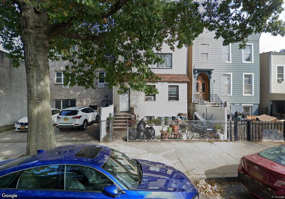
1681 Dean St Brooklyn, NY 11213
Crown Heights NeighborhoodEstimated Value: $1,048,000 - $1,350,000
--
Bed
--
Bath
2,879
Sq Ft
$422/Sq Ft
Est. Value
About This Home
This home is located at 1681 Dean St, Brooklyn, NY 11213 and is currently estimated at $1,214,000, approximately $421 per square foot. 1681 Dean St is a home located in Kings County with nearby schools including P.S. 243K- The Weeksville School and KIPP AMP Middle School.
Ownership History
Date
Name
Owned For
Owner Type
Purchase Details
Closed on
Jan 28, 2021
Sold by
Yaish Yair
Bought by
Sc Buyers Llc
Current Estimated Value
Purchase Details
Closed on
Oct 22, 2020
Sold by
Sc Buyers Llc
Bought by
Yaish Yair
Home Financials for this Owner
Home Financials are based on the most recent Mortgage that was taken out on this home.
Original Mortgage
$351,866
Interest Rate
2.8%
Mortgage Type
New Conventional
Purchase Details
Closed on
Sep 24, 2014
Sold by
Addar Jefferson Sole Heir At Law
Bought by
S C Buyers Llc
Purchase Details
Closed on
Oct 22, 1996
Sold by
Slade Olivia
Bought by
Jefferson Robert
Home Financials for this Owner
Home Financials are based on the most recent Mortgage that was taken out on this home.
Original Mortgage
$147,000
Interest Rate
7.81%
Create a Home Valuation Report for This Property
The Home Valuation Report is an in-depth analysis detailing your home's value as well as a comparison with similar homes in the area
Home Values in the Area
Average Home Value in this Area
Purchase History
| Date | Buyer | Sale Price | Title Company |
|---|---|---|---|
| Sc Buyers Llc | -- | -- | |
| Yaish Yair | -- | -- | |
| S C Buyers Llc | $375,000 | -- | |
| Jefferson Robert | $150,000 | Chicago Title Insurance Co |
Source: Public Records
Mortgage History
| Date | Status | Borrower | Loan Amount |
|---|---|---|---|
| Previous Owner | Yaish Yair | $351,866 | |
| Previous Owner | Jefferson Robert | $147,000 |
Source: Public Records
Tax History Compared to Growth
Tax History
| Year | Tax Paid | Tax Assessment Tax Assessment Total Assessment is a certain percentage of the fair market value that is determined by local assessors to be the total taxable value of land and additions on the property. | Land | Improvement |
|---|---|---|---|---|
| 2025 | $2,093 | $85,080 | $26,220 | $58,860 |
| 2024 | $2,093 | $84,660 | $26,220 | $58,440 |
| 2023 | $2,001 | $100,320 | $26,220 | $74,100 |
| 2022 | $1,967 | $83,820 | $26,220 | $57,600 |
| 2021 | $1,960 | $89,340 | $26,220 | $63,120 |
| 2020 | $962 | $94,320 | $26,220 | $68,100 |
| 2019 | $1,817 | $75,000 | $26,220 | $48,780 |
| 2018 | $1,674 | $8,210 | $4,157 | $4,053 |
| 2017 | $1,674 | $8,210 | $3,356 | $4,854 |
| 2016 | $1,551 | $7,761 | $4,282 | $3,479 |
| 2015 | $714 | $7,663 | $3,660 | $4,003 |
| 2014 | $714 | $7,239 | $4,150 | $3,089 |
Source: Public Records
Map
Nearby Homes
- 111 Schenectady Ave
- 1735 Pacific St
- 118 Utica Ave
- 141 Schenectady Ave
- 107 Utica Ave
- 147 Schenectady Ave
- 1770 Pacific St
- 176 Utica Ave
- 1796 Pacific St
- 1226 St Marks Ave Unit 4B
- 1226 St Marks Ave Unit 3 B
- 1226 St Marks Ave Unit 1 B
- 1248 Prospect Place
- 22 Hattie Jones Ct
- 1582A Pacific St
- 1423 Park Place
- 139 Rochester Ave
- 1411 Sterling Place
- 1607 Pacific St Unit 3 A
- 1337 Sterling Place
- 1681 Dean St Unit 2
- 1685 Dean St Unit 1687
- 1685 Dean St Unit 3
- 1685-1687 Dean St
- 1679 Dean St
- 1687 Dean St
- 1673-1675 Dean St
- 1689 Dean St
- 1693 Dean St
- 1693 Dean St Unit 1
- 1669 Dean St
- 1704 Pacific St
- 1695 Dean St
- 1695 Dean St Unit 1
- 1700 Pacific St
- 1698 Pacific St
- 1699 Dean St
- 1716 Pacific St
- 1703 Dean St
- 1694 Pacific St