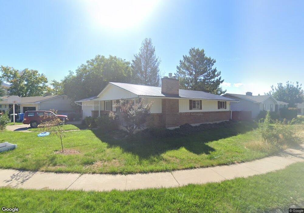
1681 Willow Way Logan, UT 84341
Hillcrest NeighborhoodEstimated Value: $465,000 - $542,000
6
Beds
3
Baths
2,640
Sq Ft
$192/Sq Ft
Est. Value
About This Home
This home is located at 1681 Willow Way, Logan, UT 84341 and is currently estimated at $506,353, approximately $191 per square foot. 1681 Willow Way is a home located in Cache County with nearby schools including Hillcrest Elementary School, Mount Logan Middle School, and Logan High School.
Ownership History
Date
Name
Owned For
Owner Type
Purchase Details
Closed on
Jan 5, 2019
Sold by
Westover Kathleen and Sanders Kathleen
Bought by
Sanders Kathleen
Current Estimated Value
Home Financials for this Owner
Home Financials are based on the most recent Mortgage that was taken out on this home.
Original Mortgage
$40,000
Interest Rate
4.8%
Mortgage Type
Credit Line Revolving
Create a Home Valuation Report for This Property
The Home Valuation Report is an in-depth analysis detailing your home's value as well as a comparison with similar homes in the area
Home Values in the Area
Average Home Value in this Area
Purchase History
| Date | Buyer | Sale Price | Title Company |
|---|---|---|---|
| Sanders Kathleen | -- | American Secure Title Brigha |
Source: Public Records
Mortgage History
| Date | Status | Borrower | Loan Amount |
|---|---|---|---|
| Closed | Sanders Kathleen | $40,000 |
Source: Public Records
Tax History Compared to Growth
Tax History
| Year | Tax Paid | Tax Assessment Tax Assessment Total Assessment is a certain percentage of the fair market value that is determined by local assessors to be the total taxable value of land and additions on the property. | Land | Improvement |
|---|---|---|---|---|
| 2025 | $2,194 | $283,805 | $0 | $0 |
| 2024 | $2,266 | $283,805 | $0 | $0 |
| 2023 | $2,363 | $282,155 | $0 | $0 |
| 2022 | $2,111 | $235,405 | $0 | $0 |
| 2021 | $1,998 | $344,240 | $65,000 | $279,240 |
| 2020 | $1,920 | $297,700 | $65,000 | $232,700 |
| 2019 | $1,654 | $245,266 | $65,000 | $180,266 |
| 2018 | $1,608 | $217,768 | $65,000 | $152,768 |
| 2017 | $1,432 | $102,520 | $0 | $0 |
| 2016 | $1,484 | $102,520 | $0 | $0 |
| 2015 | $1,486 | $102,520 | $0 | $0 |
| 2014 | $1,212 | $92,480 | $0 | $0 |
| 2013 | -- | $92,480 | $0 | $0 |
Source: Public Records
Map
Nearby Homes
- 1586 N Sharptail Cir
- 1891 E 1500 N
- 1901 Southpointe Ct
- 1902 E 1500 N
- 1949 Deer Crest Cir Unit 49
- 1451 N Aspen Dr
- 1454 N 1400 E
- 1405 N Aspen Dr
- 1465 N Stonecrest Ln Unit 14
- 1872 N 1850 E
- 1285 E 1600 N
- 1395 E Talmage Ln Unit 31
- 1901 N 1380 E
- 2025 N 1550 E
- 1374 N 1250 E
- Sydney Plan at Mountainside Estates
- Providence Plan at Mountainside Estates
- Maryland Plan at Mountainside Estates
- Rochester Plan at Mountainside Estates
- Oakley Plan at Mountainside Estates