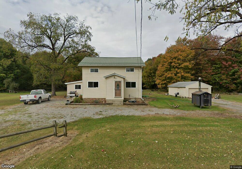
16813 Maple Rd Linesville, PA 16424
Estimated Value: $93,287 - $228,000
--
Bed
--
Bath
--
Sq Ft
9
Acres
About This Home
This home is located at 16813 Maple Rd, Linesville, PA 16424 and is currently estimated at $152,572. 16813 Maple Rd is a home with nearby schools including Conneaut Valley Elementary School, Conneaut Valley Middle School, and Conneaut Area Senior High School.
Ownership History
Date
Name
Owned For
Owner Type
Purchase Details
Closed on
Apr 16, 2021
Sold by
Wheeler Cody D
Bought by
Wheeler Cody D and Wheeler Brittany L
Current Estimated Value
Home Financials for this Owner
Home Financials are based on the most recent Mortgage that was taken out on this home.
Original Mortgage
$96,000
Outstanding Balance
$86,746
Interest Rate
3.05%
Mortgage Type
Balloon
Estimated Equity
$65,826
Purchase Details
Closed on
Feb 12, 2012
Sold by
Taylor Larry W and Taylor Shari D
Bought by
Wheeler Cody D
Home Financials for this Owner
Home Financials are based on the most recent Mortgage that was taken out on this home.
Original Mortgage
$48,400
Interest Rate
3.16%
Mortgage Type
New Conventional
Create a Home Valuation Report for This Property
The Home Valuation Report is an in-depth analysis detailing your home's value as well as a comparison with similar homes in the area
Home Values in the Area
Average Home Value in this Area
Purchase History
| Date | Buyer | Sale Price | Title Company |
|---|---|---|---|
| Wheeler Cody D | -- | None Listed On Document | |
| Wheeler Cody D | $60,500 | None Available |
Source: Public Records
Mortgage History
| Date | Status | Borrower | Loan Amount |
|---|---|---|---|
| Open | Wheeler Cody D | $96,000 | |
| Previous Owner | Wheeler Cody D | $48,400 |
Source: Public Records
Tax History Compared to Growth
Tax History
| Year | Tax Paid | Tax Assessment Tax Assessment Total Assessment is a certain percentage of the fair market value that is determined by local assessors to be the total taxable value of land and additions on the property. | Land | Improvement |
|---|---|---|---|---|
| 2025 | $418 | $16,804 | $1,350 | $15,454 |
| 2024 | $1,284 | $16,804 | $1,350 | $15,454 |
| 2023 | $1,284 | $16,804 | $1,350 | $15,454 |
| 2022 | $1,284 | $16,804 | $1,350 | $15,454 |
| 2021 | $1,284 | $16,804 | $1,350 | $15,454 |
| 2020 | $1,284 | $16,804 | $1,350 | $15,454 |
| 2019 | $1,167 | $16,804 | $1,350 | $15,454 |
| 2018 | $1,221 | $16,804 | $1,350 | $15,454 |
| 2017 | $1,221 | $16,804 | $1,350 | $15,454 |
| 2016 | $367 | $16,804 | $1,350 | $15,454 |
| 2015 | $367 | $16,804 | $1,350 | $15,454 |
| 2014 | -- | $15,200 | $1,350 | $13,850 |
Source: Public Records
Map
Nearby Homes
- 17263 Airport Rd
- 15916 Airport Rd
- 15287 Airport Rd
- 0 Conaway Rd
- 14711 Wallace Avenue Extension
- 0 B and B Dr
- 351 Homestead Ave
- 3+ /- Acres on 3+ - Acres On Phelps Rd
- 17315 Phelps Rd
- 126 E Erie St
- 3+ /- Acres on Phelps Rd
- 218 S Mercer St
- 0 Steamburg Rd
- 00 Cole Rd
- 1793 Stuart Ave
- 6855 Woodard Rd
- 0 Hickory Dr
- 7262 Turner Rd
- 12490 Ash Dr
- 2149 Aldee Dr