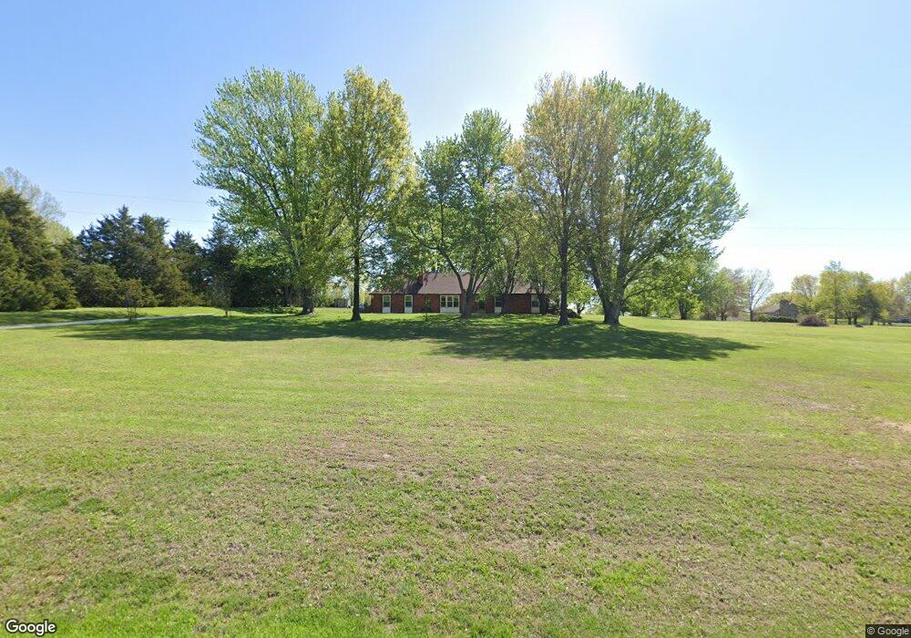
16813 Ragsdale Rd Kearney, MO 64060
Estimated Value: $436,382 - $492,000
4
Beds
3
Baths
1,774
Sq Ft
$263/Sq Ft
Est. Value
About This Home
This home is located at 16813 Ragsdale Rd, Kearney, MO 64060 and is currently estimated at $467,346, approximately $263 per square foot. 16813 Ragsdale Rd is a home located in Clay County with nearby schools including Kearney Junior High School and Kearney High School.
Ownership History
Date
Name
Owned For
Owner Type
Purchase Details
Closed on
Apr 25, 2002
Sold by
Scrivner Vertis Wayne and Scrivner Deborah V
Bought by
Hill Gerald A and Hill Linda S
Current Estimated Value
Home Financials for this Owner
Home Financials are based on the most recent Mortgage that was taken out on this home.
Original Mortgage
$193,500
Outstanding Balance
$81,930
Interest Rate
7.11%
Estimated Equity
$385,416
Purchase Details
Closed on
Aug 10, 1999
Sold by
Terry James E and Terry Heidi
Bought by
Scrivner Vertis Wayne and Scrivner Deborah V
Home Financials for this Owner
Home Financials are based on the most recent Mortgage that was taken out on this home.
Original Mortgage
$170,000
Interest Rate
7.71%
Purchase Details
Closed on
Jun 18, 1997
Sold by
Baker James D and Baker Linda K
Bought by
Terry James Edward and Terry James E
Home Financials for this Owner
Home Financials are based on the most recent Mortgage that was taken out on this home.
Original Mortgage
$120,000
Interest Rate
7.93%
Create a Home Valuation Report for This Property
The Home Valuation Report is an in-depth analysis detailing your home's value as well as a comparison with similar homes in the area
Home Values in the Area
Average Home Value in this Area
Purchase History
| Date | Buyer | Sale Price | Title Company |
|---|---|---|---|
| Hill Gerald A | -- | -- | |
| Scrivner Vertis Wayne | -- | United Title Company | |
| Terry James Edward | -- | Security Land Title Company |
Source: Public Records
Mortgage History
| Date | Status | Borrower | Loan Amount |
|---|---|---|---|
| Open | Hill Gerald A | $193,500 | |
| Previous Owner | Scrivner Vertis Wayne | $170,000 | |
| Previous Owner | Terry James Edward | $120,000 |
Source: Public Records
Tax History Compared to Growth
Tax History
| Year | Tax Paid | Tax Assessment Tax Assessment Total Assessment is a certain percentage of the fair market value that is determined by local assessors to be the total taxable value of land and additions on the property. | Land | Improvement |
|---|---|---|---|---|
| 2025 | $2,820 | $51,220 | -- | -- |
| 2024 | $2,820 | $44,570 | -- | -- |
| 2023 | $2,809 | $44,570 | $0 | $0 |
| 2022 | $2,663 | $40,910 | $0 | $0 |
| 2021 | $2,606 | $40,907 | $7,657 | $33,250 |
| 2020 | $2,736 | $39,030 | $0 | $0 |
| 2019 | $2,720 | $39,030 | $0 | $0 |
| 2018 | $2,564 | $35,550 | $0 | $0 |
| 2017 | $2,398 | $35,540 | $5,980 | $29,560 |
| 2016 | $2,398 | $33,640 | $5,980 | $27,660 |
| 2015 | $2,398 | $33,640 | $5,980 | $27,660 |
| 2014 | $2,278 | $31,780 | $5,980 | $25,800 |
Source: Public Records
Map
Nearby Homes
- 16211 Dr
- 16115 Kountry Ridge Dr
- 15617 Oakmont Dr
- 15025 Jesse James Farm Rd
- 0 N Jefferson St Mo-33 Hwy Unit HMS2578203
- 610 E Porter Ridge Ct
- 102 W Lawrence St
- 205 E Washington St
- 201 E Washington St
- 21619 NE 150th St
- Lot 12 Melinda Dr
- Lot 14 Melinda Dr
- Lot 1 Melinda Dr
- Lot 3 Melinda Dr
- Lot 5 Melinda Dr
- Lot 13 Melinda Dr
- Lot 15 Melinda Dr
- Lot 2 Melinda Dr
- Lot 4 Melinda Dr
- Lot 8 Melinda Dr
- 16827 Ragsdale Rd
- 20616 Michael Dr
- 16816 Ragsdale Rd
- 20800 Leesa Ln
- 16826 Ragsdale Rd
- 20810 Leesa Ln
- 20605 NE 170th St
- 16800 Ragsdale Rd
- 20619 NE 170th St
- 16719 Ragsdale Rd
- 20617 Michael Dr
- 20807 Michael Dr
- 20817 Leesa Ln
- 20421 NE 170th St
- 16720 Ragsdale Rd
- 20818 Michael Dr
- 20822 Leesa Ln
- 20809 NE 170th St
- 16823 Cole Rd
- 16909 Cole Rd