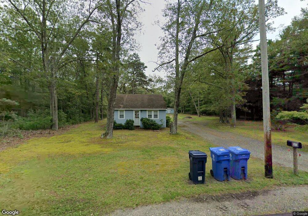
1682 Route 542 Egg Harbor City, NJ 08215
Estimated Value: $188,945 - $273,000
--
Bed
--
Bath
900
Sq Ft
$264/Sq Ft
Est. Value
About This Home
This home is located at 1682 Route 542, Egg Harbor City, NJ 08215 and is currently estimated at $237,736, approximately $264 per square foot. 1682 Route 542 is a home located in Burlington County.
Ownership History
Date
Name
Owned For
Owner Type
Purchase Details
Closed on
May 6, 2015
Sold by
Sullick Misty M and Reed Misty M
Bought by
Reed Sharon L
Current Estimated Value
Purchase Details
Closed on
Nov 9, 2001
Sold by
Donovan Oliver M and Donovan Carolyn T
Bought by
Reed Sharon
Home Financials for this Owner
Home Financials are based on the most recent Mortgage that was taken out on this home.
Original Mortgage
$64,000
Outstanding Balance
$29,590
Interest Rate
9.24%
Mortgage Type
Purchase Money Mortgage
Estimated Equity
$208,146
Create a Home Valuation Report for This Property
The Home Valuation Report is an in-depth analysis detailing your home's value as well as a comparison with similar homes in the area
Home Values in the Area
Average Home Value in this Area
Purchase History
| Date | Buyer | Sale Price | Title Company |
|---|---|---|---|
| Reed Sharon L | -- | None Available | |
| Reed Sharon | $80,000 | Victorian Title Agency Inc |
Source: Public Records
Mortgage History
| Date | Status | Borrower | Loan Amount |
|---|---|---|---|
| Open | Reed Sharon | $64,000 |
Source: Public Records
Tax History Compared to Growth
Tax History
| Year | Tax Paid | Tax Assessment Tax Assessment Total Assessment is a certain percentage of the fair market value that is determined by local assessors to be the total taxable value of land and additions on the property. | Land | Improvement |
|---|---|---|---|---|
| 2025 | $2,854 | $136,600 | $70,600 | $66,000 |
| 2024 | $2,270 | $136,600 | $70,600 | $66,000 |
| 2023 | $2,270 | $136,600 | $70,600 | $66,000 |
| 2022 | $1,747 | $136,600 | $70,600 | $66,000 |
| 2021 | $1,770 | $136,600 | $70,600 | $66,000 |
| 2020 | $1,738 | $136,600 | $70,600 | $66,000 |
| 2019 | $1,709 | $136,600 | $70,600 | $66,000 |
| 2018 | $2,007 | $136,600 | $70,600 | $66,000 |
| 2017 | $2,294 | $136,600 | $70,600 | $66,000 |
| 2016 | $2,375 | $136,600 | $70,600 | $66,000 |
| 2015 | $2,251 | $136,600 | $70,600 | $66,000 |
| 2014 | $2,061 | $136,600 | $70,600 | $66,000 |
Source: Public Records
Map
Nearby Homes
- 1868 Route 542
- 2100 River Rd
- 13 Charles Ave
- 13 Henderson Ave
- 1424 Route 542
- 10 Hillside Ave
- 2043 Route 542
- 5573 Route 9
- 3 Amasa Landing Rd
- 15 Oak Ln
- 138 N Maple Ave
- 14 Teaberry Ln
- 0 Route 9 Unit NJOC2025980
- 265 N Cologne Ave
- 511 Chestnut Neck Rd
- 275 N Mannheim Ave
- 5140 Venice Ave
- 5143 Venice Ave
- 5401 Pleasant Mills Rd
- 333 Cologne Port Rd
- 1684 Route 542
- 1680 Route 542
- 1683 Route 542
- 1688 Route 542
- 1690 1688 Rt 542
- 1678 Route 542
- 1676 Route 542
- 1704 Route 542
- 1706 Route 542
- 6 Turtle Creek Rd
- 8 Turtle Creek Rd
- 1 Turtle Creek Rd
- 4 Ridge Rd
- 9 Turtle Creek Rd
- 1709 Route 542
- 1712 County Road 542
- 1712 Route 542
- 22 Turtle Creek Rd
- 10 Cedar Ln
- 1714 Route 542