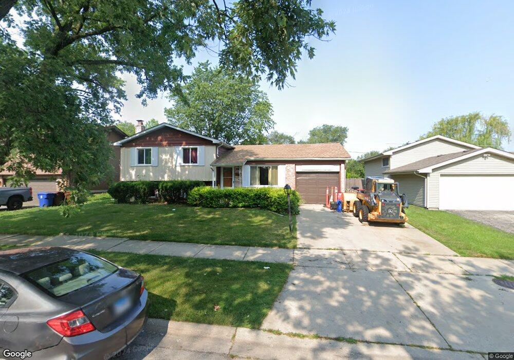
16824 Laramie Ave Unit 2 Oak Forest, IL 60452
Estimated Value: $254,000 - $308,000
4
Beds
2
Baths
1,100
Sq Ft
$263/Sq Ft
Est. Value
About This Home
This home is located at 16824 Laramie Ave Unit 2, Oak Forest, IL 60452 and is currently estimated at $289,702, approximately $263 per square foot. 16824 Laramie Ave Unit 2 is a home located in Cook County with nearby schools including Kimberly Heights Elementary School, Scarlet Oak Elementary School, and Arbor Park Middle School.
Ownership History
Date
Name
Owned For
Owner Type
Purchase Details
Closed on
Feb 27, 2024
Sold by
Garnica Benito and Garnica Bertha
Bought by
Marquette Bank
Current Estimated Value
Purchase Details
Closed on
Apr 11, 1995
Sold by
Ptaszek James P and Brylewski Marcelle A
Bought by
Garnica Benito and Garnica Bertha
Home Financials for this Owner
Home Financials are based on the most recent Mortgage that was taken out on this home.
Original Mortgage
$138,650
Interest Rate
8.55%
Mortgage Type
FHA
Create a Home Valuation Report for This Property
The Home Valuation Report is an in-depth analysis detailing your home's value as well as a comparison with similar homes in the area
Home Values in the Area
Average Home Value in this Area
Purchase History
| Date | Buyer | Sale Price | Title Company |
|---|---|---|---|
| Marquette Bank | -- | None Listed On Document | |
| Garnica Benito | $140,000 | Attorneys Natl Title Network |
Source: Public Records
Mortgage History
| Date | Status | Borrower | Loan Amount |
|---|---|---|---|
| Previous Owner | Garnica Benito | $138,650 |
Source: Public Records
Tax History Compared to Growth
Tax History
| Year | Tax Paid | Tax Assessment Tax Assessment Total Assessment is a certain percentage of the fair market value that is determined by local assessors to be the total taxable value of land and additions on the property. | Land | Improvement |
|---|---|---|---|---|
| 2024 | $3,306 | $24,001 | $3,762 | $20,239 |
| 2023 | $4,393 | $24,001 | $3,762 | $20,239 |
| 2022 | $4,393 | $16,273 | $3,249 | $13,024 |
| 2021 | $4,669 | $16,272 | $3,248 | $13,024 |
| 2020 | $4,410 | $16,272 | $3,248 | $13,024 |
| 2019 | $6,442 | $17,787 | $2,906 | $14,881 |
| 2018 | $6,298 | $17,787 | $2,906 | $14,881 |
| 2017 | $6,295 | $17,787 | $2,906 | $14,881 |
| 2016 | $5,683 | $15,020 | $2,564 | $12,456 |
| 2015 | $5,465 | $15,020 | $2,564 | $12,456 |
| 2014 | $5,353 | $15,020 | $2,564 | $12,456 |
| 2013 | $5,016 | $15,726 | $2,564 | $13,162 |
Source: Public Records
Map
Nearby Homes
- 5256 169th Place
- 5112 Deerpath Rd Unit 4
- 5103 Elmwood Rd
- 5185 Greentree Rd
- 16740 Forest Ave
- 5048 171st St
- 5125 171st St
- 16934 Cicero Ave
- 17213 Arrowhead Trace
- 5524 Christopher Dr
- 5432 163rd St
- 16159 Long Ave
- 16224 S Cicero Ave
- 17410 Brennan Hwy
- 5150 Shadow Creek Dr Unit 4
- 16101 Debra Dr
- 16465 Roy St
- 16104 Oak Ave
- 6000 Lake Bluff Dr Unit 402
- 6020 Lake Bluff Dr Unit 701
- 16818 Laramie Ave
- 16836 Laramie Ave Unit 7
- 16812 Laramie Ave
- 16831 Laramie Ave
- 16825 Laramie Ave
- 16842 Laramie Ave
- 16837 Laramie Ave
- 16819 Laramie Ave
- 16855 Thackery Ave
- 16813 Laramie Ave
- 16848 Laramie Ave
- 16861 Thackery Ave
- 16800 Laramie Ave
- 5174 Newport Dr
- 16807 Laramie Ave
- 5156 Oakwood Ct
- 16901 Thackery Ave
- 16854 Laramie Ave
- 5168 Newport Dr
- 16754 Laramie Ave