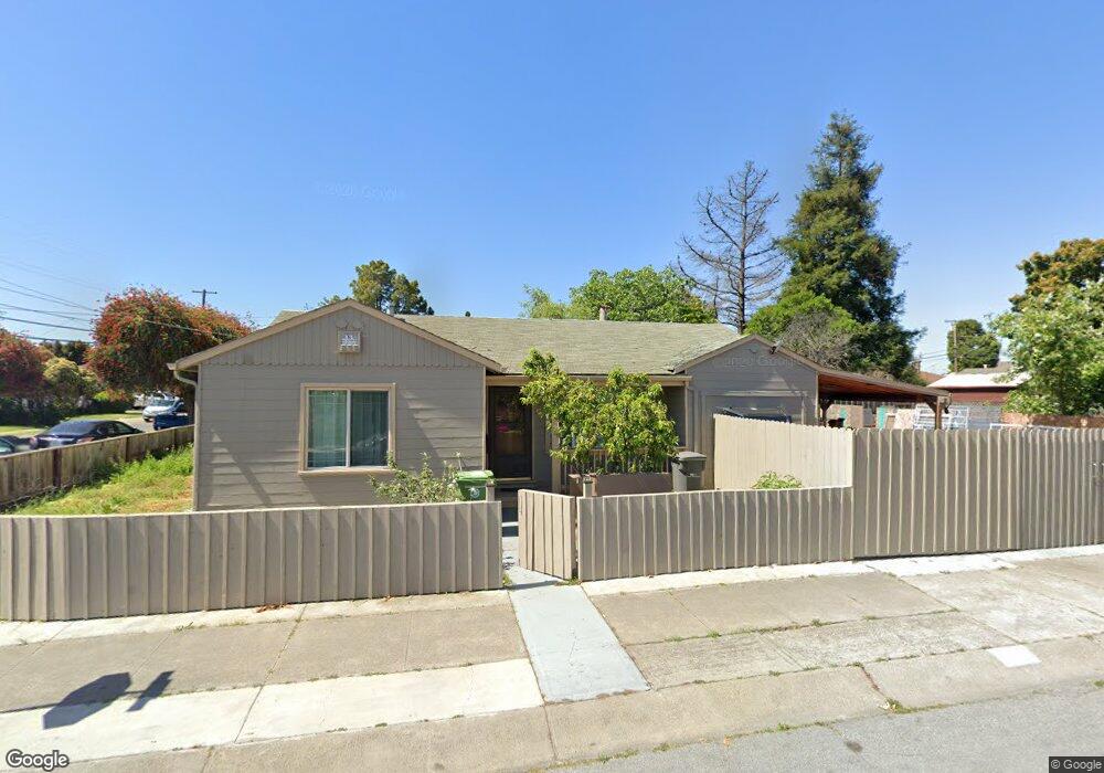
1683 142nd Ave San Leandro, CA 94578
Upper Bal NeighborhoodEstimated Value: $498,000 - $643,000
2
Beds
1
Bath
743
Sq Ft
$798/Sq Ft
Est. Value
About This Home
This home is located at 1683 142nd Ave, San Leandro, CA 94578 and is currently estimated at $593,140, approximately $798 per square foot. 1683 142nd Ave is a home located in Alameda County with nearby schools including Jefferson Elementary School, Bancroft Middle School, and San Leandro High School.
Ownership History
Date
Name
Owned For
Owner Type
Purchase Details
Closed on
May 13, 2009
Sold by
Federal National Mortgage Association
Bought by
Liu Hong Liang
Current Estimated Value
Purchase Details
Closed on
Apr 8, 2009
Sold by
Nee David T and Nee Marta C
Bought by
Fannie Mae and Federal National Mortgage Association
Purchase Details
Closed on
May 5, 2003
Sold by
Nee David T and Nee Marta C
Bought by
Nee David T and Nee Marta C
Home Financials for this Owner
Home Financials are based on the most recent Mortgage that was taken out on this home.
Original Mortgage
$260,000
Interest Rate
5.84%
Purchase Details
Closed on
Jun 9, 1997
Sold by
Ell Peterson Daniel and Ell Jennifer Seaborn
Bought by
Nee David T and Nee Marta C
Home Financials for this Owner
Home Financials are based on the most recent Mortgage that was taken out on this home.
Original Mortgage
$138,750
Interest Rate
7.98%
Mortgage Type
FHA
Purchase Details
Closed on
Nov 4, 1993
Sold by
Seaborn John K
Bought by
Seaborn Ellen P
Create a Home Valuation Report for This Property
The Home Valuation Report is an in-depth analysis detailing your home's value as well as a comparison with similar homes in the area
Home Values in the Area
Average Home Value in this Area
Purchase History
We collect this data history from publicly available records. To have your information removed, we recommend requesting removal directly through your county’s website.
| Date | Buyer | Sale Price | Title Company |
|---|---|---|---|
| Liu Hong Liang | $205,000 | Stewart Title Of California | |
| Liu Hong Liang | -- | Stewartt Title Of California | |
| Fannie Mae | $197,427 | None Available | |
| Nee David T | $87,000 | Fidelity Natl Title Co Milpi | |
| Nee David T | $140,000 | North American Title Co | |
| Seaborn Ellen P | -- | Old Republic Title Company |
Source: Public Records
Mortgage History
We collect this data history from publicly available records. To have your information removed, we recommend requesting removal directly through your county’s website.
| Date | Status | Borrower | Loan Amount |
|---|---|---|---|
| Previous Owner | Nee David T | $260,000 | |
| Previous Owner | Nee David T | $138,750 |
Source: Public Records
Tax History
| Year | Tax Paid | Tax Assessment Tax Assessment Total Assessment is a certain percentage of the fair market value that is determined by local assessors to be the total taxable value of land and additions on the property. | Land | Improvement |
|---|---|---|---|---|
| 2025 | $3,779 | $256,971 | $79,191 | $184,780 |
| 2024 | $3,779 | $251,797 | $77,639 | $181,158 |
| 2023 | $3,997 | $253,724 | $76,117 | $177,607 |
| 2022 | $3,972 | $241,750 | $74,625 | $174,125 |
| 2021 | $3,558 | $236,873 | $73,162 | $170,711 |
| 2020 | $3,460 | $241,374 | $72,412 | $168,962 |
| 2019 | $3,347 | $236,643 | $70,993 | $165,650 |
| 2018 | $3,227 | $232,004 | $69,601 | $162,403 |
| 2017 | $3,180 | $227,454 | $68,236 | $159,218 |
| 2016 | $3,005 | $222,996 | $66,899 | $156,097 |
| 2015 | $2,945 | $219,648 | $65,894 | $153,754 |
| 2014 | $2,920 | $215,347 | $64,604 | $150,743 |
Source: Public Records
Map
Nearby Homes
- 13904 Lark St
- 13955 School St
- 2724 Benedict Dr
- 14564 Wake Ave
- 14590 Bancroft Ave
- 0 Montrose Dr
- 1336 139th Ave
- 1268 136th Ave
- 0 Saturn Dr
- 14621 Pansy St
- 14831 Bancroft Ave Unit Space 27
- 2082 Placer Dr
- 1522 Dennis Ave
- 1315 135th Ave
- 1233 Benedict Ct
- 1902 Evergreen Ave
- 575 Mckinley Ct
- 2016 Bancroft Ave
- 1961 Marineview Dr
- 928 Evergreen Ave
Your Personal Tour Guide
Ask me questions while you tour the home.