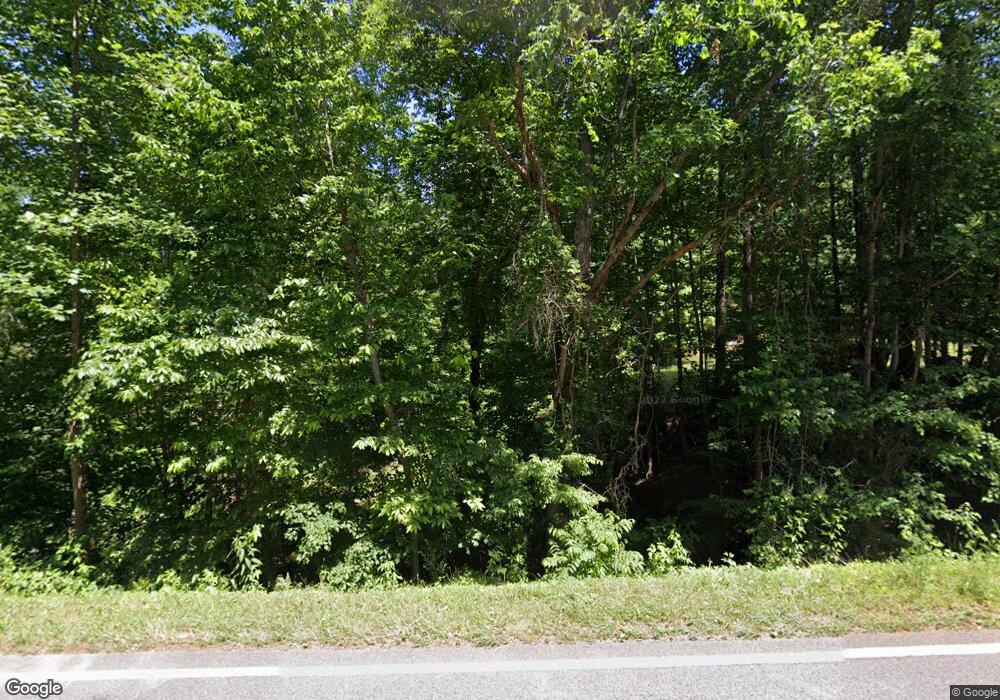
1683 Auraria Rd Dahlonega, GA 30533
Estimated Value: $415,000 - $492,000
--
Bed
4
Baths
2,576
Sq Ft
$177/Sq Ft
Est. Value
About This Home
This home is located at 1683 Auraria Rd, Dahlonega, GA 30533 and is currently estimated at $456,366, approximately $177 per square foot. 1683 Auraria Rd is a home located in Lumpkin County with nearby schools including Lumpkin County High School.
Ownership History
Date
Name
Owned For
Owner Type
Purchase Details
Closed on
Nov 17, 2020
Sold by
Clay Phyllis Malinda
Bought by
Clay Phyllis Malinda and Clay Ronald Paul
Current Estimated Value
Purchase Details
Closed on
May 24, 2007
Sold by
Not Provided
Bought by
Mcnich Phyllis M
Purchase Details
Closed on
Nov 7, 2006
Sold by
Not Provided
Bought by
Mcnich Phyllis M
Purchase Details
Closed on
Sep 29, 2005
Sold by
Krummel Teresa W
Bought by
Krummel Andrew B
Purchase Details
Closed on
Mar 5, 2002
Sold by
Lumpkin County Bank
Bought by
Krummel Andrew
Purchase Details
Closed on
Sep 9, 1999
Sold by
Ivy Richard and Ivy Sylvia
Bought by
Krummel Andrew
Create a Home Valuation Report for This Property
The Home Valuation Report is an in-depth analysis detailing your home's value as well as a comparison with similar homes in the area
Home Values in the Area
Average Home Value in this Area
Purchase History
| Date | Buyer | Sale Price | Title Company |
|---|---|---|---|
| Clay Phyllis Malinda | -- | -- | |
| Mcnich Phyllis M | $221,000 | -- | |
| Mcnich Phyllis M | $199,900 | -- | |
| Krummel Andrew B | -- | -- | |
| Krummel Andrew | -- | -- | |
| Krummel Andrew | $83,900 | -- |
Source: Public Records
Tax History Compared to Growth
Tax History
| Year | Tax Paid | Tax Assessment Tax Assessment Total Assessment is a certain percentage of the fair market value that is determined by local assessors to be the total taxable value of land and additions on the property. | Land | Improvement |
|---|---|---|---|---|
| 2024 | $990 | $155,886 | $32,485 | $123,401 |
| 2023 | $536 | $145,678 | $30,360 | $115,318 |
| 2022 | $2,599 | $106,977 | $10,005 | $96,972 |
| 2021 | $2,329 | $90,970 | $10,005 | $80,965 |
| 2020 | $2,279 | $88,390 | $9,588 | $78,802 |
| 2019 | $2,300 | $88,390 | $9,588 | $78,802 |
| 2018 | $2,191 | $79,216 | $9,588 | $69,628 |
| 2017 | $2,144 | $76,102 | $9,588 | $66,514 |
| 2016 | $1,964 | $67,688 | $9,588 | $58,100 |
| 2015 | $1,749 | $67,688 | $9,588 | $58,100 |
| 2014 | $1,749 | $68,349 | $9,588 | $58,761 |
| 2013 | -- | $69,670 | $9,587 | $60,082 |
Source: Public Records
Map
Nearby Homes
- 1047 Nugget Ct
- 775 Crooked Creek Dr
- 0 Honey Tree Terrace Unit 10448792
- 0 Honey Tree Terrace Unit 7516071
- 114 Funaro Ln
- 3149 Auraria Rd
- 251 Bearslide Hollow
- 1170 Calhoun Rd
- 0 Dawsonville Hwy Unit 10631159
- 00 Dawsonville Hwy
- 735 Calhoun Rd
- 99 Madeline Anthony Road Lots 44 and 45
- 1415 Calhoun Rd
- 99 Madeline Anthony Rd
- Lot 5 Still Rd
- 190 Grand Oak Ln
- 191 Sleepy Hollow Rd
- 567 Crown Mountain Way
- LOT 13 Crown Mountain Way
- Lot 28 Crown Mountain Way
- 1701 Auraria Rd
- 1797 Auraria Rd
- 1823 Auraria Rd
- 12 Price Ln
- 185 Walnut Rd
- 16 Gold Spur
- 25 Price Ln
- 44 Gold Spur
- 44 Gold Spr
- 1447 Auraria Rd
- 184 Walnut Rd
- 62 Gold Spur
- 181 Walnut Rd
- 11 Gold Spur
- 0 Price Ln Unit 7022081
- 0 Price Ln Unit LOT 11 10032368
- LOT 11 Price Ln
- 0 Price Ln Unit 6990913
- 0 Price Ln
- 0 Walnut Ridge Dr
