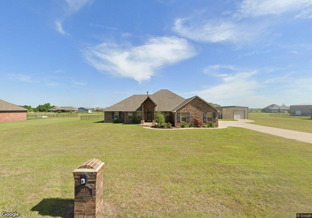
16831 Homestead El Reno, OK 73036
Estimated Value: $407,743 - $420,000
4
Beds
3
Baths
2,346
Sq Ft
$176/Sq Ft
Est. Value
About This Home
This home is located at 16831 Homestead, El Reno, OK 73036 and is currently estimated at $413,436, approximately $176 per square foot. 16831 Homestead is a home with nearby schools including Banner School.
Ownership History
Date
Name
Owned For
Owner Type
Purchase Details
Closed on
Jul 25, 2019
Sold by
Lowe George H and Lowe Kristi D
Bought by
Lowe George and Lowe Kristi
Current Estimated Value
Purchase Details
Closed on
Nov 20, 2015
Sold by
Cheri Fine Homes & Storm Shelters Llc
Bought by
Lowe George H and Lowe Kristi D
Home Financials for this Owner
Home Financials are based on the most recent Mortgage that was taken out on this home.
Original Mortgage
$270,964
Outstanding Balance
$213,199
Interest Rate
3.8%
Mortgage Type
New Conventional
Estimated Equity
$200,237
Purchase Details
Closed on
Nov 19, 2014
Sold by
Roles Garry and Roles Sharon
Bought by
Cheri Fine Homes & Storm Shelters Llc
Home Financials for this Owner
Home Financials are based on the most recent Mortgage that was taken out on this home.
Original Mortgage
$224,000
Interest Rate
4.14%
Mortgage Type
Construction
Create a Home Valuation Report for This Property
The Home Valuation Report is an in-depth analysis detailing your home's value as well as a comparison with similar homes in the area
Home Values in the Area
Average Home Value in this Area
Purchase History
| Date | Buyer | Sale Price | Title Company |
|---|---|---|---|
| Lowe George | -- | None Available | |
| Lowe George H | $284,000 | First American Title | |
| Cheri Fine Homes & Storm Shelters Llc | $39,000 | Fatco |
Source: Public Records
Mortgage History
| Date | Status | Borrower | Loan Amount |
|---|---|---|---|
| Open | Lowe George H | $270,964 | |
| Previous Owner | Cheri Fine Homes & Storm Shelters Llc | $224,000 |
Source: Public Records
Tax History Compared to Growth
Tax History
| Year | Tax Paid | Tax Assessment Tax Assessment Total Assessment is a certain percentage of the fair market value that is determined by local assessors to be the total taxable value of land and additions on the property. | Land | Improvement |
|---|---|---|---|---|
| 2024 | $2,758 | $38,273 | $4,977 | $33,296 |
| 2023 | $2,758 | $37,157 | $4,886 | $32,271 |
| 2022 | $2,699 | $36,076 | $4,800 | $31,276 |
| 2021 | $2,632 | $35,025 | $4,800 | $30,225 |
| 2020 | $2,522 | $34,005 | $4,800 | $29,205 |
| 2019 | $2,460 | $33,014 | $4,800 | $28,214 |
| 2018 | $2,421 | $32,053 | $4,800 | $27,253 |
| 2017 | $2,440 | $32,053 | $4,800 | $27,253 |
| 2016 | $2,476 | $33,133 | $4,800 | $28,333 |
| 2015 | -- | $468 | $468 | $0 |
Source: Public Records
Map
Nearby Homes
- 16861 Homestead
- 16801 Homestead
- 16830 Homestead
- 16820 Single Tree
- 16891 Homestead
- 16860 Homestead St
- 16761 Homestead
- 16790 Single Tree
- 16850 Single Tree
- 16890 Homestead
- 16750 Single Tree
- 16760 Homestead
- 16931 Homestead
- 16931 Homestead
- 16880 Single Tree St
- 16930 Homestead
- 16920 Single Tree
- 16821 Single Tree
- 16851 Single Tree
- 16881 Single Tree St