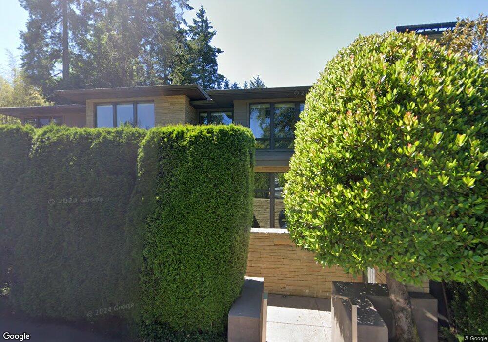
16833 Allen Rd Lake Oswego, OR 97035
Bryant NeighborhoodEstimated Value: $2,186,000 - $2,594,000
2
Beds
3
Baths
2,920
Sq Ft
$835/Sq Ft
Est. Value
About This Home
This home is located at 16833 Allen Rd, Lake Oswego, OR 97035 and is currently estimated at $2,439,083, approximately $835 per square foot. 16833 Allen Rd is a home located in Clackamas County with nearby schools including Westridge Elementary School, Lakeridge Middle School, and Lakeridge High School.
Ownership History
Date
Name
Owned For
Owner Type
Purchase Details
Closed on
Jun 24, 2024
Sold by
Lamb Carl and Lamb Brenda J
Bought by
Brenda J And Carl Lamb Family Trust and Lamb
Current Estimated Value
Purchase Details
Closed on
Aug 7, 2015
Sold by
Lamb Carl and Lamb Brenda J
Bought by
Lamb Carl and Lamb Brenda J
Home Financials for this Owner
Home Financials are based on the most recent Mortgage that was taken out on this home.
Original Mortgage
$610,000
Interest Rate
4.05%
Mortgage Type
New Conventional
Purchase Details
Closed on
Jul 14, 2005
Sold by
Lamb Dorothy J
Bought by
Lamb Carl
Home Financials for this Owner
Home Financials are based on the most recent Mortgage that was taken out on this home.
Original Mortgage
$800,000
Interest Rate
5.55%
Mortgage Type
Fannie Mae Freddie Mac
Purchase Details
Closed on
Jun 4, 2004
Sold by
Lamb Dorothy J
Bought by
Lamb Dorothy J and Dorothy J Lamb Trust
Create a Home Valuation Report for This Property
The Home Valuation Report is an in-depth analysis detailing your home's value as well as a comparison with similar homes in the area
Home Values in the Area
Average Home Value in this Area
Purchase History
| Date | Buyer | Sale Price | Title Company |
|---|---|---|---|
| Brenda J And Carl Lamb Family Trust | -- | None Listed On Document | |
| Lamb Carl | -- | Wfg Title | |
| Lamb Carl | $1,235,000 | Chicago Title Co | |
| Lamb Dorothy J | -- | -- |
Source: Public Records
Mortgage History
| Date | Status | Borrower | Loan Amount |
|---|---|---|---|
| Previous Owner | Lamb Carl | $610,000 | |
| Previous Owner | Lamb Carl | $800,000 |
Source: Public Records
Tax History Compared to Growth
Tax History
| Year | Tax Paid | Tax Assessment Tax Assessment Total Assessment is a certain percentage of the fair market value that is determined by local assessors to be the total taxable value of land and additions on the property. | Land | Improvement |
|---|---|---|---|---|
| 2025 | $24,585 | $1,280,212 | -- | -- |
| 2024 | $23,029 | $1,196,112 | -- | -- |
| 2023 | $23,029 | $1,161,274 | $0 | $0 |
| 2022 | $21,689 | $1,127,451 | $0 | $0 |
| 2021 | $20,032 | $1,094,613 | $0 | $0 |
| 2020 | $19,529 | $1,062,732 | $0 | $0 |
| 2019 | $19,048 | $1,031,779 | $0 | $0 |
| 2018 | $18,114 | $1,001,727 | $0 | $0 |
| 2017 | $17,479 | $972,550 | $0 | $0 |
| 2016 | $15,913 | $944,223 | $0 | $0 |
| 2015 | $15,374 | $916,721 | $0 | $0 |
| 2014 | $15,175 | $890,020 | $0 | $0 |
Source: Public Records
Map
Nearby Homes
- 17367 Canal Cir
- 16755 Graef Cir
- 4160 Westbay Rd
- 4264 Westbay Rd
- 4368 Lakeview Blvd
- 4241 Cobb Way
- 17210 Cedar Rd
- 3600 Lakeview Blvd
- 4470 Lakeview Blvd
- 3548 Lakeview Blvd
- 3730 Upper Dr
- 4224 Haven St
- 4480 Upper Dr
- 17595 Kelok Rd
- 17447 Blue Heron Rd
- 17422 Blue Heron Rd
- 4610 Lower Dr
- 4640 Lower Dr
- 17035 Westview Dr
- 17810 Sarah Hill Ln
- 16819 Allen Rd
- 3889 Southshore Blvd
- 16903 Allen Rd
- 3815 South Shore
- 3815 S Shore Bl
- 3815 Southshore Blvd
- 3867 Southshore Blvd
- 3867 S Shore Blvd
- 16820 Allen Rd
- 16931 Allen Rd
- 16842 Allen Rd
- 16806 Allen Rd
- 3915 Southshore Blvd
- 3805 Southshore Blvd
- 16874 Allen Rd
- 16888 Allen Rd
- 3917 Southshore Blvd
- 3814 Southshore Blvd
- 3931 Southshore Blvd
- 3919 Southshore Blvd