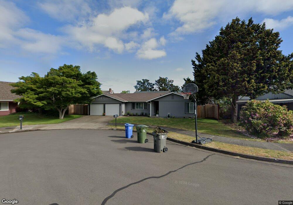
1684 Best Ln Eugene, OR 97401
Harlow NeighborhoodEstimated Value: $529,000 - $557,000
3
Beds
2
Baths
1,689
Sq Ft
$321/Sq Ft
Est. Value
About This Home
This home is located at 1684 Best Ln, Eugene, OR 97401 and is currently estimated at $541,926, approximately $320 per square foot. 1684 Best Ln is a home located in Lane County with nearby schools including Holt Elementary School, Monroe Middle School, and Sheldon High School.
Ownership History
Date
Name
Owned For
Owner Type
Purchase Details
Closed on
May 9, 2007
Sold by
Gibson Ian T
Bought by
Jones Ii Donald C and Jones Alisa J
Current Estimated Value
Home Financials for this Owner
Home Financials are based on the most recent Mortgage that was taken out on this home.
Original Mortgage
$279,300
Outstanding Balance
$169,982
Interest Rate
6.18%
Mortgage Type
Purchase Money Mortgage
Estimated Equity
$371,944
Purchase Details
Closed on
Apr 20, 2001
Sold by
Scnear Coleen K
Bought by
Gibson Ian T and Gibson Liane C
Home Financials for this Owner
Home Financials are based on the most recent Mortgage that was taken out on this home.
Original Mortgage
$120,000
Interest Rate
6.98%
Create a Home Valuation Report for This Property
The Home Valuation Report is an in-depth analysis detailing your home's value as well as a comparison with similar homes in the area
Home Values in the Area
Average Home Value in this Area
Purchase History
| Date | Buyer | Sale Price | Title Company |
|---|---|---|---|
| Jones Ii Donald C | $294,000 | Fidelity National Title Insu | |
| Gibson Ian T | $150,000 | American Title Group |
Source: Public Records
Mortgage History
| Date | Status | Borrower | Loan Amount |
|---|---|---|---|
| Open | Jones Ii Donald C | $279,300 | |
| Previous Owner | Gibson Ian T | $120,000 |
Source: Public Records
Tax History
| Year | Tax Paid | Tax Assessment Tax Assessment Total Assessment is a certain percentage of the fair market value that is determined by local assessors to be the total taxable value of land and additions on the property. | Land | Improvement |
|---|---|---|---|---|
| 2025 | $5,620 | $288,443 | -- | -- |
| 2024 | $5,550 | $280,042 | -- | -- |
| 2023 | $5,550 | $271,886 | -- | -- |
| 2022 | $5,199 | $263,967 | $0 | $0 |
| 2021 | $4,884 | $256,279 | $0 | $0 |
| 2020 | $4,901 | $248,815 | $0 | $0 |
| 2019 | $4,716 | $241,568 | $0 | $0 |
| 2018 | $4,402 | $227,702 | $0 | $0 |
| 2017 | $4,149 | $227,702 | $0 | $0 |
| 2016 | $3,956 | $221,070 | $0 | $0 |
| 2015 | $3,830 | $214,631 | $0 | $0 |
| 2014 | $3,746 | $208,380 | $0 | $0 |
Source: Public Records
Map
Nearby Homes
- 2956 Willakenzie Rd
- 0 Sprig Ln Unit Lot 3
- 0 Sprig Ln Unit Lot 3 766109892
- 2580 Elysium Ave
- 2577 Elysium Ave
- 2495 Jeppesen Acres Rd
- 1491 Victorian Way
- 1564 Regency Dr
- 1630 Ridgley Blvd
- 2420 Willona Dr
- 1090 Corydon St
- 950 Coburg Rd
- 1271 Arcadia Dr
- 2645 Chuckanut St
- 1521 Gilham Rd
- 2707 Dayna Ln
- 2738 Dayna Ln
- 2207 Willona Dr
- 2872 Suffolk Ct
- 825 Waverly St
Your Personal Tour Guide
Ask me questions while you tour the home.