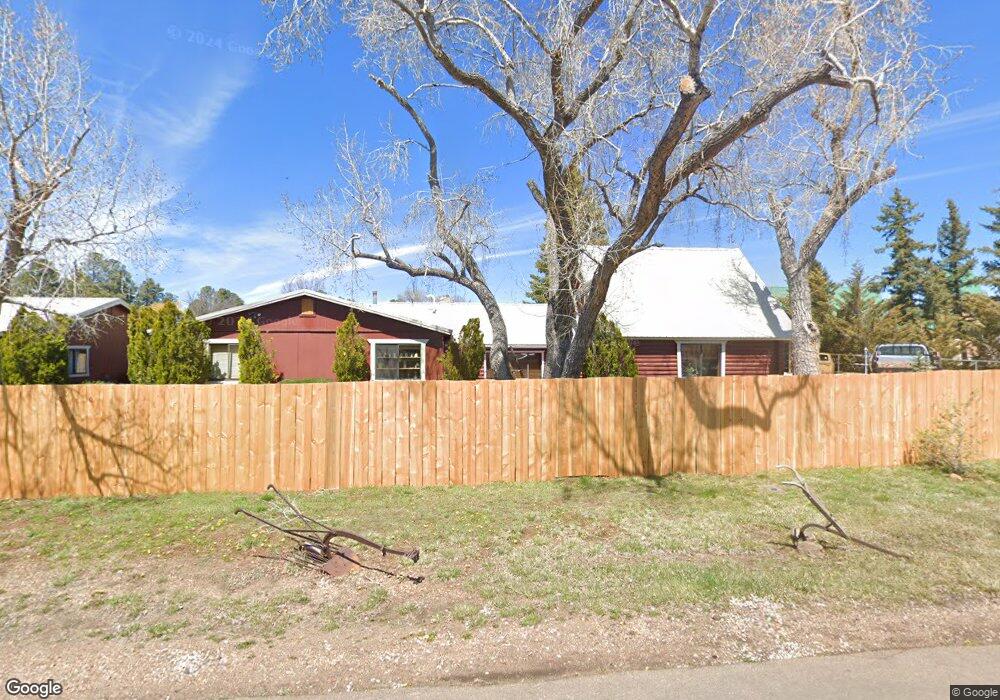
1684 E Fir Ln Pinetop, AZ 85935
Estimated Value: $516,687 - $608,000
3
Beds
3
Baths
3,361
Sq Ft
$166/Sq Ft
Est. Value
About This Home
This home is located at 1684 E Fir Ln, Pinetop, AZ 85935 and is currently estimated at $558,422, approximately $166 per square foot. 1684 E Fir Ln is a home located in Navajo County with nearby schools including Blue Ridge Elementary School, Blue Ridge Middle School, and Blue Ridge Junior High School.
Ownership History
Date
Name
Owned For
Owner Type
Purchase Details
Closed on
Oct 26, 2022
Sold by
Rankin Ashley Ann
Bought by
Ehlers Jerry A
Current Estimated Value
Purchase Details
Closed on
Apr 1, 2022
Sold by
Kurtak Bonney L
Bought by
Rankin Ashley Ann
Purchase Details
Closed on
Jul 20, 2021
Sold by
Kurtak Bonney L
Bought by
Kurtak Bonney L and Person Robert Allen
Purchase Details
Closed on
Oct 26, 2015
Sold by
Kurtak Bonney L and Kurtak Bonney Lee
Bought by
Kurtak Bonney L
Create a Home Valuation Report for This Property
The Home Valuation Report is an in-depth analysis detailing your home's value as well as a comparison with similar homes in the area
Home Values in the Area
Average Home Value in this Area
Purchase History
| Date | Buyer | Sale Price | Title Company |
|---|---|---|---|
| Ehlers Jerry A | $420,000 | Lawyers Title | |
| Rankin Ashley Ann | -- | None Listed On Document | |
| Kurtak Bonney L | -- | None Listed On Document | |
| Kurtak Bonney L | -- | Rigg Law Firm Pllc | |
| Kurtak Bonney L | -- | None Available |
Source: Public Records
Tax History Compared to Growth
Tax History
| Year | Tax Paid | Tax Assessment Tax Assessment Total Assessment is a certain percentage of the fair market value that is determined by local assessors to be the total taxable value of land and additions on the property. | Land | Improvement |
|---|---|---|---|---|
| 2026 | $2,720 | -- | -- | -- |
| 2025 | $2,610 | $45,239 | $4,936 | $40,303 |
| 2024 | $1,823 | $45,670 | $4,936 | $40,734 |
| 2023 | $2,610 | $35,299 | $3,617 | $31,682 |
| 2022 | $1,823 | $0 | $0 | $0 |
| 2021 | $1,601 | $0 | $0 | $0 |
| 2020 | $1,550 | $0 | $0 | $0 |
| 2019 | $1,541 | $0 | $0 | $0 |
| 2018 | $1,478 | $0 | $0 | $0 |
| 2017 | $1,399 | $0 | $0 | $0 |
| 2016 | $1,188 | $0 | $0 | $0 |
| 2015 | $1,130 | $14,047 | $3,761 | $10,287 |
Source: Public Records
Map
Nearby Homes
- 1571 E Spruce Ln
- 2255 S Donna Ln
- 2249 S Penrod Ln
- 2313 S Jan Ln Unit P-6 and P-7
- 2412 S Joyce Ln
- 2444 S Jan Ln
- 2044 E White Mountain Blvd
- 527 E White Mountain Blvd
- 0 Jacks Lane (Parcel #3) Unit 256019
- 0 Jacks Lane (Parcel #1) Unit 256017
- 0 Jacks Lane (Parcel #2) Unit 256018
- 1814 E Elk Ln
- 1310 S Stephens Dr
- 1460 S Adair Dr
- 1460 S Adair Dr Unit 70
- 1460 S Adair #70 Dr
- 1259 S Penrod Dr
- 950 E Osprey Ln
- 1346 Sharon Dr
- 1309 S Powerline Ln
- 1621 E Fir Ln
- 1572 E Fir Ln
- 1653 E Fir Ln
- 1940 S Penrod Ln
- 1587 E Fir Ln
- 1705 E Fir Ln
- 2002 S Penrod Ln
- 2069 S Donna Ln
- 2075 S Donna Ln
- 2079 S Donna Ln
- 2026 S Penrod Ln
- 1569 E Fir Ln
- 1888 S Penrod Ln
- 1593 E Cheryl Ln
- 2091 S Donna Ln
- 1530 E Cheryl Ln Unit 22, 023
- 1561 E Cheryl Ln
- 2123 S Donna Ln
- 1520 E Fir Ln
- 2138 S Donna Ln