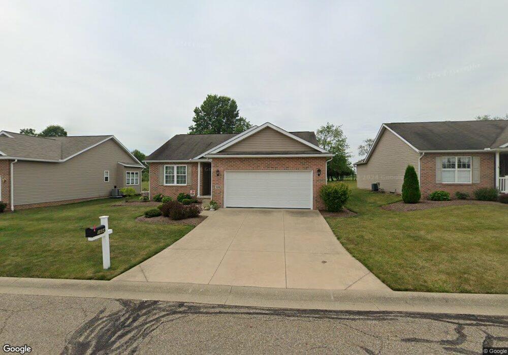
1684 Presidents Cir Unit 35 Louisville, OH 44641
Estimated Value: $274,000 - $314,000
2
Beds
3
Baths
1,560
Sq Ft
$188/Sq Ft
Est. Value
About This Home
This home is located at 1684 Presidents Cir Unit 35, Louisville, OH 44641 and is currently estimated at $293,732, approximately $188 per square foot. 1684 Presidents Cir Unit 35 is a home located in Stark County with nearby schools including Louisville High School and St. Thomas Aquinas High School & Middle School.
Ownership History
Date
Name
Owned For
Owner Type
Purchase Details
Closed on
Jun 6, 2018
Sold by
Gerber Ida J and Gerber Kevin W
Bought by
Burns Patricia A
Current Estimated Value
Purchase Details
Closed on
Jun 19, 2013
Sold by
Gerber Ida J
Bought by
Gerber Ida J and Gerber Kevin W
Purchase Details
Closed on
Mar 30, 2005
Sold by
Miranoma Inc
Bought by
Gerber Ida J
Create a Home Valuation Report for This Property
The Home Valuation Report is an in-depth analysis detailing your home's value as well as a comparison with similar homes in the area
Home Values in the Area
Average Home Value in this Area
Purchase History
| Date | Buyer | Sale Price | Title Company |
|---|---|---|---|
| Burns Patricia A | $235,000 | None Available | |
| Gerber Ida J | -- | None Available | |
| Gerber Ida J | $181,000 | -- |
Source: Public Records
Tax History Compared to Growth
Tax History
| Year | Tax Paid | Tax Assessment Tax Assessment Total Assessment is a certain percentage of the fair market value that is determined by local assessors to be the total taxable value of land and additions on the property. | Land | Improvement |
|---|---|---|---|---|
| 2025 | -- | $105,460 | $16,210 | $89,250 |
| 2024 | -- | $105,460 | $16,210 | $89,250 |
| 2023 | $2,916 | $77,040 | $12,570 | $64,470 |
| 2022 | $1,761 | $77,040 | $12,570 | $64,470 |
| 2021 | $2,162 | $77,040 | $12,570 | $64,470 |
| 2020 | $2,771 | $69,870 | $11,310 | $58,560 |
| 2019 | $500 | $69,870 | $11,310 | $58,560 |
| 2018 | $2,857 | $69,870 | $11,310 | $58,560 |
| 2017 | $2,501 | $59,010 | $10,500 | $48,510 |
| 2016 | $2,552 | $59,010 | $10,500 | $48,510 |
| 2015 | $504 | $59,010 | $10,500 | $48,510 |
| 2014 | $574 | $55,170 | $11,100 | $44,070 |
| 2013 | $527 | $55,170 | $11,100 | $44,070 |
Source: Public Records
Map
Nearby Homes
- 2110 Edmar St
- 1715 High St
- 1812 E Broad St
- 908 Sand Lot Cir
- 641 S Nickelplate St
- 3390 Meese Rd NE
- 520 S Silver St
- 308 Superior St
- 728 E Broad St
- 8225 Georgetown St
- 510 S Bauman Ct
- 204 E Broad St
- 0 Michigan Blvd
- 2015 E Main St
- 107 E Broad St
- 1702 View Pointe Ave
- 1639 Horizon Dr
- 325 Lincoln Ave
- 1170 Winding Ridge Ave
- 910 Crosswyck Cir
- 1678 Presidents Cir Unit 34
- 0 Presidents Ave Unit 3629012
- 0 Presidents Ave Unit 3629009
- 0 Presidents Ave Unit 3629001
- 0 Presidents Ave Unit 3628998
- 0 Presidents Ave Unit 3628992
- 0 Presidents Ave Unit 3628986
- 1672 Presidents Square Unit 33
- 45 Lot Presidents Ave
- 1679 Presidents Cir
- 1666 Presidents Square Unit 32
- 1659 Presidents Square
- 1660 Presidents Square Unit 31
- 1653 Presidents Square Unit 42
- 1647 Presidents Square Unit 50
- 1634 Presidents Square Unit 30
- 1641 Presidents Square Unit 49
- 1611 Presidents Square Unit 43
- 1247 S Marion Ave
- 1628 Presidents Square Unit 29